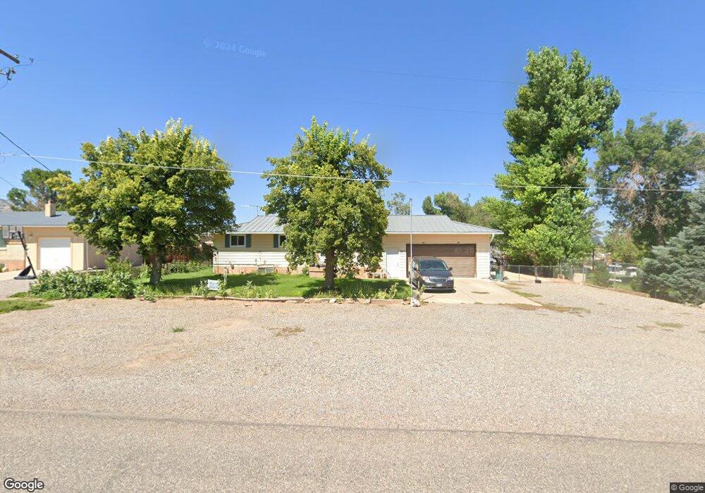
20 W 1520 N Sigurd, UT 84657
Estimated Value: $246,316 - $351,000
Studio
--
Bath
1,092
Sq Ft
$278/Sq Ft
Est. Value
About This Home
This home is located at 20 W 1520 N, Sigurd, UT 84657 and is currently estimated at $303,329, approximately $277 per square foot. 20 W 1520 N is a home with nearby schools including Pahvant School, Ashman School, and Red Hills Middle School.
Ownership History
Date
Name
Owned For
Owner Type
Purchase Details
Closed on
Dec 17, 2024
Sold by
Wheeler Marilyn J and Tubbs Margarite E
Bought by
Tubbs Rickie and Tubbs Margarite E
Current Estimated Value
Home Financials for this Owner
Home Financials are based on the most recent Mortgage that was taken out on this home.
Original Mortgage
$170,000
Interest Rate
6.81%
Mortgage Type
VA
Purchase Details
Closed on
Jul 17, 2014
Sold by
Wheeler Marilyn J and Tubbs Margarete E
Bought by
Wheeler Marilyn J and Tubbs Margarete E
Create a Home Valuation Report for This Property
The Home Valuation Report is an in-depth analysis detailing your home's value as well as a comparison with similar homes in the area
Purchase History
| Date | Buyer | Sale Price | Title Company |
|---|---|---|---|
| Tubbs Rickie | -- | Amrock | |
| Tubbs Rickie | -- | Amrock | |
| Tubbs Rickie | -- | Amrock | |
| Wheeler Marilyn J | -- | None Available |
Source: Public Records
Mortgage History
| Date | Status | Borrower | Loan Amount |
|---|---|---|---|
| Previous Owner | Tubbs Rickie | $170,000 |
Source: Public Records
Tax History
| Year | Tax Paid | Tax Assessment Tax Assessment Total Assessment is a certain percentage of the fair market value that is determined by local assessors to be the total taxable value of land and additions on the property. | Land | Improvement |
|---|---|---|---|---|
| 2025 | -- | $132,846 | $26,545 | $106,301 |
| 2024 | $1,260 | $144,224 | $23,125 | $121,099 |
| 2023 | $0 | $158,968 | $21,993 | $136,975 |
| 2022 | $951 | $123,179 | $18,278 | $104,901 |
| 2021 | $951 | $118,182 | $18,278 | $99,904 |
| 2020 | $951 | $79,435 | $11,189 | $68,246 |
| 2019 | $1,020 | $75,890 | $11,190 | $64,700 |
| 2018 | $0 | $66,970 | $10,660 | $56,310 |
| 2017 | $900 | $63,090 | $10,660 | $52,430 |
| 2016 | -- | $58,790 | $0 | $0 |
| 2015 | -- | $58,790 | $0 | $0 |
| 2014 | -- | $58,790 | $0 | $0 |
Source: Public Records
Map
Nearby Homes
- 1598 N North State St
- 36 W 1420 N
- 2220 N State St Unit 14
- 305 E 2690 N
- 2720 N 250 E Unit 116
- 180 N State St
- 66 S State St
- 701 S Black Knoll Rd Unit 4
- 1 E 800 S
- 2200 N Hwy 260 (Approximately) W
- 2203 S 1770 W Unit 1
- 79 S 250 E
- 1800 N Vermillion Canal Rd
- 111 S 200 W
- 268 S 250 E
- 57 N 100 W
- 40 N 100 W
- 376 W 200 N
- 75 E 200 N
- 117 E 350 N
Your Personal Tour Guide
Ask me questions while you tour the home.