20 Wright Rd Barnegat, NJ 08005
Barnegat Township NeighborhoodEstimated Value: $645,586 - $705,000
4
Beds
3
Baths
2,852
Sq Ft
$241/Sq Ft
Est. Value
About This Home
This home is located at 20 Wright Rd, Barnegat, NJ 08005 and is currently estimated at $688,647, approximately $241 per square foot. 20 Wright Rd is a home with nearby schools including Barnegat High School.
Ownership History
Date
Name
Owned For
Owner Type
Purchase Details
Closed on
Jan 23, 2023
Sold by
Dr Horton Inc-New Jersey
Bought by
Miller William H and Miller Deborah
Current Estimated Value
Home Financials for this Owner
Home Financials are based on the most recent Mortgage that was taken out on this home.
Original Mortgage
$536,935
Outstanding Balance
$517,638
Interest Rate
6.31%
Mortgage Type
New Conventional
Estimated Equity
$171,009
Purchase Details
Closed on
Jun 2, 2022
Sold by
Walters Development Co Llc
Bought by
Jersey Dr Horton Inc-New
Purchase Details
Closed on
Sep 1, 2013
Sold by
Mjr Associates Llc
Bought by
Walters Development Co Llc
Create a Home Valuation Report for This Property
The Home Valuation Report is an in-depth analysis detailing your home's value as well as a comparison with similar homes in the area
Home Values in the Area
Average Home Value in this Area
Purchase History
| Date | Buyer | Sale Price | Title Company |
|---|---|---|---|
| Miller William H | $565,195 | Title America | |
| Jersey Dr Horton Inc-New | $92,500 | Title America | |
| Walters Development Co Llc | $75,143 | Surety Title Corp |
Source: Public Records
Mortgage History
| Date | Status | Borrower | Loan Amount |
|---|---|---|---|
| Open | Miller William H | $536,935 |
Source: Public Records
Tax History
| Year | Tax Paid | Tax Assessment Tax Assessment Total Assessment is a certain percentage of the fair market value that is determined by local assessors to be the total taxable value of land and additions on the property. | Land | Improvement |
|---|---|---|---|---|
| 2025 | $10,926 | $354,400 | $85,800 | $268,600 |
| 2024 | $9,702 | $333,300 | $85,800 | $247,500 |
| 2023 | $704 | $25,000 | $25,000 | $0 |
| 2022 | $704 | $25,000 | $25,000 | $0 |
| 2021 | $701 | $25,000 | $25,000 | $0 |
| 2020 | $698 | $25,000 | $25,000 | $0 |
| 2019 | $688 | $25,000 | $25,000 | $0 |
| 2018 | $682 | $25,000 | $25,000 | $0 |
| 2017 | $671 | $25,000 | $25,000 | $0 |
| 2016 | $657 | $25,000 | $25,000 | $0 |
| 2015 | $637 | $25,000 | $25,000 | $0 |
| 2014 | $620 | $25,000 | $25,000 | $0 |
Source: Public Records
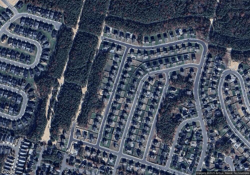
Map
Nearby Homes
- 24 Wright Rd
- 143 Cox Rd
- 505 Mermaid Dr
- 6 Jolly Roger Rd
- 4 Jolly Roger Rd
- 8 Jolly Roger Rd
- 1975 Breakers Dr
- 1999 Breakers Dr
- 148 Compass Rd
- 62 Milky Way Dr
- 187 Compass Rd
- 148 Torpedo Rd
- 53 Lookout Dr
- 15 Sunrise Ln
- 11 Michael Ave
- 9 Michael Ave
- 248 Compass Rd
- 2010 Breakers Dr
- 2018 Breakers Dr
- 2012 Breakers Dr
Your Personal Tour Guide
Ask me questions while you tour the home.