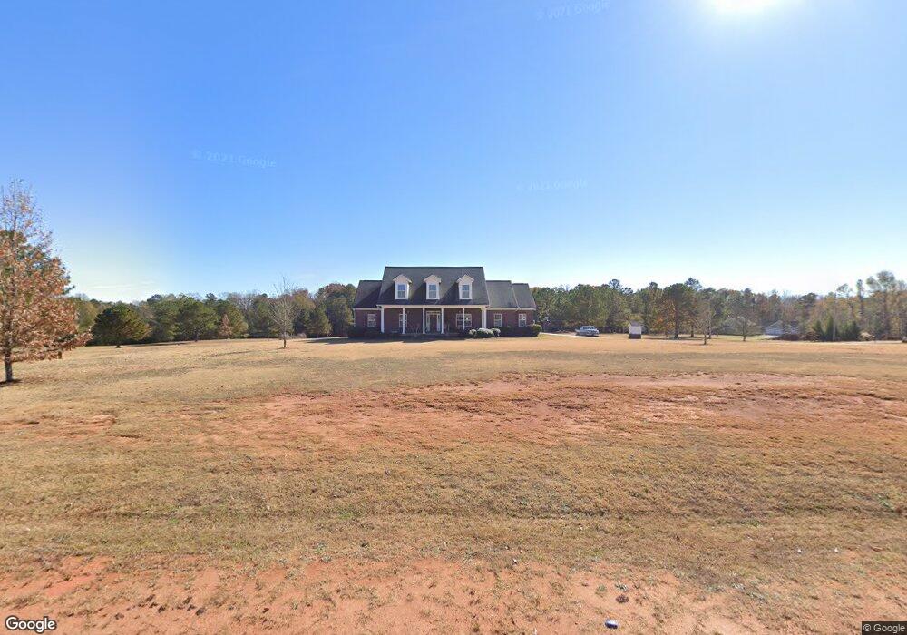
200 Bates Rd Covington, GA 30014
Estimated Value: $370,000 - $639,000
4
Beds
3
Baths
2,600
Sq Ft
$196/Sq Ft
Est. Value
About This Home
This home is located at 200 Bates Rd, Covington, GA 30014 and is currently estimated at $508,302, approximately $195 per square foot. 200 Bates Rd is a home located in Newton County with nearby schools including Mansfield Elementary School, Indian Creek Middle School, and Alcovy High School.
Ownership History
Date
Name
Owned For
Owner Type
Purchase Details
Closed on
Nov 23, 2004
Sold by
Allen Allen R and Allen Jane
Bought by
Allen Ruben L and Allen Jane
Current Estimated Value
Home Financials for this Owner
Home Financials are based on the most recent Mortgage that was taken out on this home.
Original Mortgage
$50,000
Interest Rate
5.66%
Mortgage Type
New Conventional
Create a Home Valuation Report for This Property
The Home Valuation Report is an in-depth analysis detailing your home's value as well as a comparison with similar homes in the area
Home Values in the Area
Average Home Value in this Area
Purchase History
| Date | Buyer | Sale Price | Title Company |
|---|---|---|---|
| Allen Ruben L | -- | -- |
Source: Public Records
Mortgage History
| Date | Status | Borrower | Loan Amount |
|---|---|---|---|
| Closed | Allen Ruben L | $50,000 |
Source: Public Records
Tax History
| Year | Tax Paid | Tax Assessment Tax Assessment Total Assessment is a certain percentage of the fair market value that is determined by local assessors to be the total taxable value of land and additions on the property. | Land | Improvement |
|---|---|---|---|---|
| 2025 | $4,670 | $229,560 | $55,120 | $174,440 |
| 2024 | $4,226 | $208,400 | $47,520 | $160,880 |
| 2023 | $4,568 | $197,360 | $47,520 | $149,840 |
| 2022 | $3,157 | $145,360 | $32,320 | $113,040 |
| 2021 | $3,081 | $130,720 | $28,520 | $102,200 |
| 2020 | $2,837 | $113,640 | $26,600 | $87,040 |
| 2019 | $2,730 | $109,240 | $22,800 | $86,440 |
| 2018 | $1,317 | $105,920 | $22,800 | $83,120 |
| 2017 | $2,400 | $99,120 | $22,040 | $77,080 |
| 2016 | $2,179 | $92,680 | $15,600 | $77,080 |
| 2015 | $2,195 | $93,280 | $15,600 | $77,680 |
| 2014 | $2,183 | $93,280 | $0 | $0 |
Source: Public Records
Map
Nearby Homes
- 150 W Pennick Dr
- 70 McDonald Rd
- 686 Newton Factory Bridge Rd
- 0 Newton Factory Bridge Rd Unit 10615368
- 0 Newton Factory Bridge Rd Unit 7657995
- 0 Pickett Bridge Rd Unit 10696400
- 0 Pickett Bridge Rd Unit 7723248
- 0 Pickett Bridge Rd Unit 7723236
- 0 Pickett Bridge Rd Unit 10696395
- 35 Stewart Hollow Ln
- 1042 Stag Run Dr
- 80 Stewart Hollow Ln
- 115 Willow Springs Dr
- 867 Bear Creek Point
- 1360 Stag Run Dr
- 20 Hollow Ct
- 132 Armstrong Dr Unit 91
- 122 Armstrong Dr Unit 90
- 31 Sourwood Dr
- 112 Armstrong Dr Unit 89
- 325 Digby Rd
- 325 Digby Rd
- 195 Bates Rd
- 218 Bates Rd
- 100 Bates Rd
- 227 Bates Rd
- 10 Wellsley Dr
- 10 Wellsley Dr Unit 24
- 20 Wellsley Rd Unit 23
- 335 Digby Rd
- 130 W Pennick Dr
- 130 W Pennick Dr Unit 19
- 130 Pin Oak Place
- 105 Digby Rd
- 30 Wellsley Dr Unit 22
- 30 Wellsley Dr
- 15 Wellsley Dr
- 120 E Pennick Dr
- 275 Bates Rd
- 80 Bates Rd Unit 19
Your Personal Tour Guide
Ask me questions while you tour the home.