Estimated Value: $311,000
7
Beds
3
Baths
3,228
Sq Ft
$96/Sq Ft
Est. Value
About This Home
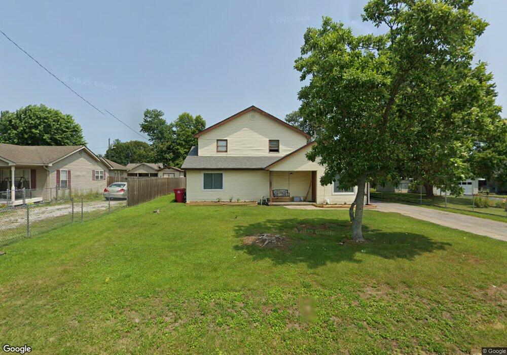
This home is located at 200 Mainous St, Berea, KY 40403 and is currently estimated at $311,000, approximately $96 per square foot. 200 Mainous St is a home located in Madison County with nearby schools including Shannon Johnson Elementary School, Foley Middle School, and Madison Southern High School.
Ownership History
Date
Name
Owned For
Owner Type
Purchase Details
Closed on
Aug 11, 2023
Sold by
Thin Line Investments Llc
Bought by
Holder Gwendolyn
Current Estimated Value
Home Financials for this Owner
Home Financials are based on the most recent Mortgage that was taken out on this home.
Original Mortgage
$70,000
Outstanding Balance
$39,109
Interest Rate
6.78%
Mortgage Type
New Conventional
Estimated Equity
$271,891
Create a Home Valuation Report for This Property
The Home Valuation Report is an in-depth analysis detailing your home's value as well as a comparison with similar homes in the area
Home Values in the Area
Average Home Value in this Area
Purchase History
| Date | Buyer | Sale Price | Title Company |
|---|---|---|---|
| Holder Gwendolyn | $171,000 | Bluegrass Land Title |
Source: Public Records
Mortgage History
| Date | Status | Borrower | Loan Amount |
|---|---|---|---|
| Open | Holder Gwendolyn | $70,000 |
Source: Public Records
Tax History
| Year | Tax Paid | Tax Assessment Tax Assessment Total Assessment is a certain percentage of the fair market value that is determined by local assessors to be the total taxable value of land and additions on the property. | Land | Improvement |
|---|---|---|---|---|
| 2025 | $1,575 | $167,000 | $0 | $0 |
| 2024 | $1,600 | $167,000 | $0 | $0 |
| 2023 | $1,397 | $144,000 | $0 | $0 |
| 2022 | $1,401 | $144,000 | $0 | $0 |
| 2021 | $1,378 | $139,100 | $0 | $0 |
| 2020 | $1,366 | $135,000 | $0 | $0 |
| 2019 | $1,322 | $130,000 | $0 | $0 |
| 2018 | $1,321 | $130,000 | $0 | $0 |
| 2017 | $1,307 | $130,000 | $0 | $0 |
| 2016 | $1,297 | $130,000 | $0 | $0 |
| 2015 | $1,265 | $130,000 | $0 | $0 |
| 2014 | $947 | $130,000 | $0 | $0 |
| 2012 | $947 | $99,000 | $99,000 | $0 |
Source: Public Records
Map
Nearby Homes
- 217 Mainous St
- 110 Baugh St
- 201 Baugh St Trlr 20
- 213 Delancey St
- 145 Harvest Park Trail
- 168 Central Park Ave
- 114 Meadowlark Dr
- 165 Central Park Ave
- 156 Central Park Ave
- 177 Central Park Ave
- 181 Central Park Ave
- 169 Central Park Ave
- 502 N Powell Ave
- 112 Woodford Ave
- 702 Kenway St
- 600 Kenway St
- 203 Davis St
- 111 Leslie Dr
- 211 Laurel Dr
- 211 Scruggs St
Your Personal Tour Guide
Ask me questions while you tour the home.