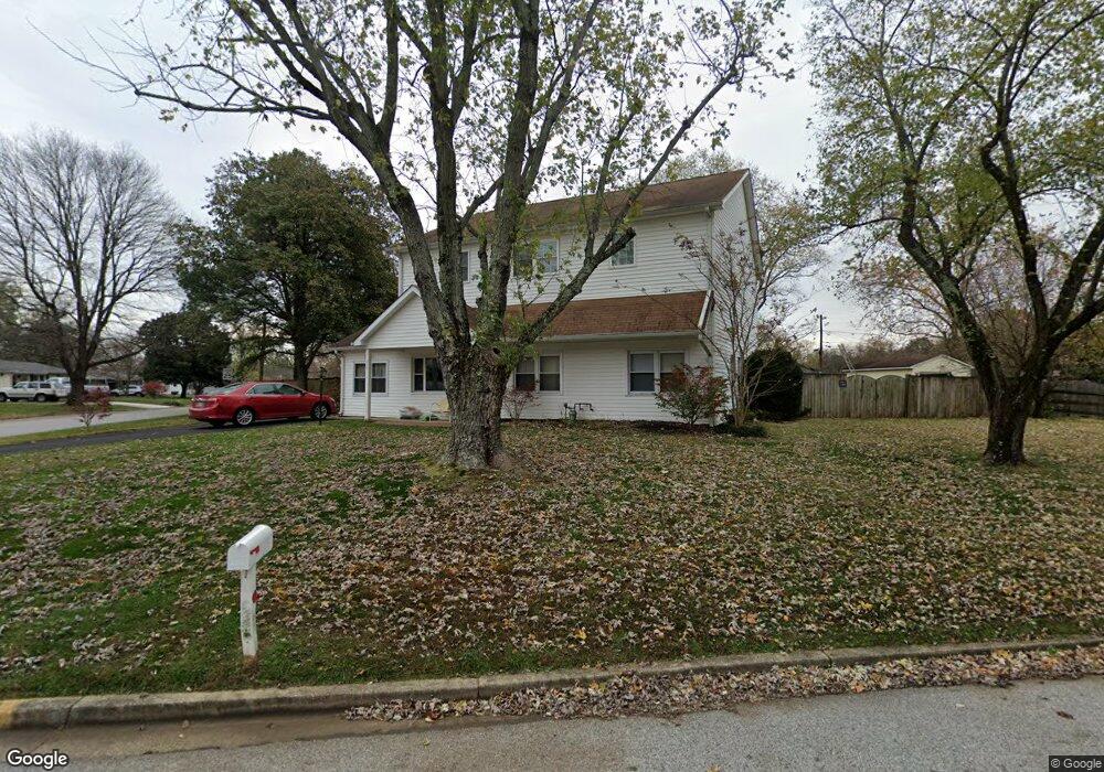
200 Otis Dr Severn, MD 21144
Estimated Value: $576,000 - $723,000
Studio
1
Bath
3,115
Sq Ft
$204/Sq Ft
Est. Value
About This Home
This home is located at 200 Otis Dr, Severn, MD 21144 and is currently estimated at $635,396, approximately $203 per square foot. 200 Otis Dr is a home located in Anne Arundel County with nearby schools including Severn Elementary School, Old Mill Middle School North, and Old Mill High School.
Ownership History
Date
Name
Owned For
Owner Type
Purchase Details
Closed on
Oct 24, 2003
Sold by
Mcdowell Kurtis I
Bought by
Mcdowell Kurtis I
Current Estimated Value
Purchase Details
Closed on
May 22, 1995
Sold by
Secrist Lawrence E
Bought by
Mcdowell Kurtis I
Home Financials for this Owner
Home Financials are based on the most recent Mortgage that was taken out on this home.
Original Mortgage
$112,200
Interest Rate
8.34%
Create a Home Valuation Report for This Property
The Home Valuation Report is an in-depth analysis detailing your home's value as well as a comparison with similar homes in the area
Home Values in the Area
Average Home Value in this Area
Purchase History
| Date | Buyer | Sale Price | Title Company |
|---|---|---|---|
| Mcdowell Kurtis I | $10,000 | -- | |
| Mcdowell Kurtis I | $110,000 | -- |
Source: Public Records
Mortgage History
| Date | Status | Borrower | Loan Amount |
|---|---|---|---|
| Previous Owner | Mcdowell Kurtis I | $112,200 |
Source: Public Records
Tax History
| Year | Tax Paid | Tax Assessment Tax Assessment Total Assessment is a certain percentage of the fair market value that is determined by local assessors to be the total taxable value of land and additions on the property. | Land | Improvement |
|---|---|---|---|---|
| 2025 | $4,326 | $481,000 | $186,700 | $294,300 |
| 2024 | $4,326 | $459,433 | $0 | $0 |
| 2023 | $4,199 | $437,867 | $0 | $0 |
| 2022 | $3,915 | $416,300 | $160,800 | $255,500 |
| 2021 | $1,983 | $411,233 | $0 | $0 |
| 2020 | $3,747 | $406,167 | $0 | $0 |
| 2019 | $3,687 | $401,100 | $176,700 | $224,400 |
| 2018 | $3,998 | $394,300 | $0 | $0 |
| 2017 | $3,475 | $387,500 | $0 | $0 |
| 2016 | -- | $380,700 | $0 | $0 |
| 2015 | -- | $353,667 | $0 | $0 |
| 2014 | -- | $326,633 | $0 | $0 |
Source: Public Records
Map
Nearby Homes
- 1010 Tuscany Ln
- 1012 Morgan Station Dr
- 7716 Dignity Way
- 1025 Ironwood Ln
- 1026 Ironwood Ln
- 7860 Telegraph Rd
- 1422 Fairbanks Dr
- 1424 Gesna Dr
- 900 S Wieker Rd
- 7831 Wolf Run Ln
- 7821 Wolf Run Ln
- 7709 Siden Dr
- 7830 Wolf Run Ln
- 7674 Tuckerman Dr
- 7826 Wolf Run Ln
- 7827 Clark Station Rd
- 1457 Graham Farm Cir
- 1215 Scattered Pines Ct
- 1217 Scattered Pines Ct
- 1011 Leyton Ln
Your Personal Tour Guide
Ask me questions while you tour the home.