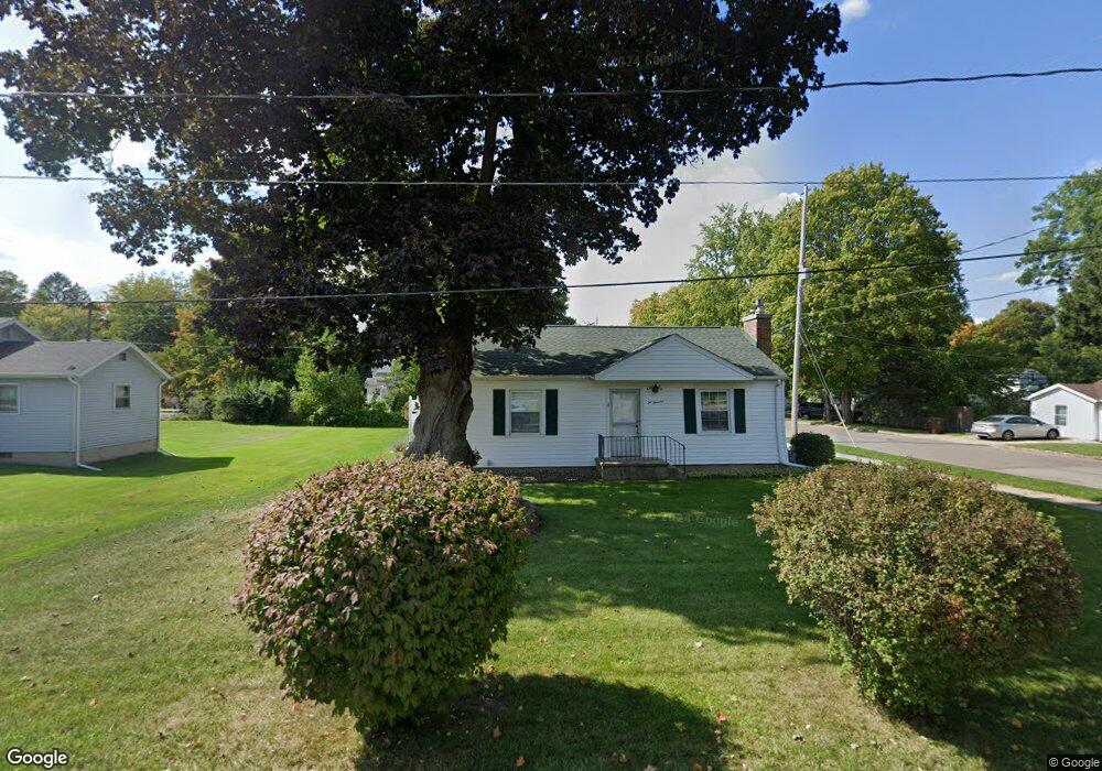
200 S Union St Concord, MI 49237
Estimated Value: $169,000 - $205,000
About This Home
This home is located at 200 S Union St, Concord, MI 49237 and is currently estimated at $184,133, approximately $92 per square foot. 200 S Union St is a home located in Jackson County with nearby schools including Concord Elementary School, Concord Middle School, and Concord High School.
Ownership History
We collect this data history from publicly available records. To have your information removed, we recommend requesting removal directly through your county’s website.
Purchase Details
Purchase Details
Home Financials for this Owner
Home Financials are based on the most recent Mortgage that was taken out on this home.Purchase Details
Purchase History
We collect this data history from publicly available records. To have your information removed, we recommend requesting removal directly through your county’s website.
| Date | Buyer | Sale Price | Title Company |
|---|---|---|---|
| -- | Attorney | ||
| $120,000 | At | ||
| $77,000 | -- |
Mortgage History
We collect this data history from publicly available records. To have your information removed, we recommend requesting removal directly through your county’s website.
| Date | Status | Borrower | Loan Amount |
|---|---|---|---|
| Open | $75,000 |
Tax History
We collect this data history from publicly available records. To have your information removed, we recommend requesting removal directly through your county’s website.
| Year | Tax Paid | Tax Assessment Tax Assessment Total Assessment is a certain percentage of the fair market value that is determined by local assessors to be the total taxable value of land and additions on the property. | Land | Improvement |
|---|---|---|---|---|
| 2025 | $1,484 | $80,100 | $80,100 | $0 |
| 2024 | $15 | $78,100 | $78,100 | $0 |
| 2023 | $1,394 | $71,000 | $71,000 | $0 |
| 2022 | $2,461 | $69,200 | $69,200 | $0 |
| 2021 | $2,421 | $58,500 | $58,500 | $0 |
| 2020 | $2,396 | $52,800 | $0 | $0 |
| 2019 | $2,337 | $53,000 | $0 | $0 |
| 2018 | $1,583 | $50,100 | $0 | $0 |
| 2017 | $1,419 | $47,000 | $0 | $0 |
| 2016 | $515 | $56,800 | $56,800 | $0 |
| 2015 | -- | $45,750 | $45,750 | $0 |
| 2014 | -- | $47,350 | $0 | $0 |
| 2013 | -- | $47,350 | $47,350 | $0 |
Map
- 0 River Bend Drive Lot #11
- 0 River Bend Drive Lot #4
- 0 River Bend Drive Lot #3
- 0 River Bend Drive Lot #5
- 0 River Bend Drive Lot #9
- 0 River Bend Drive Lot #10
- 219 S Main St
- 190 Maple St
- 235 Keefer St
- 0 2nd St
- VL S Main St
- 313 Michigan St
- 0 River St Unit 26020597
- 601 Hanover St
- 523 Jenks St
- 731 Sears Rd
- 0 Aldrich St Unit 26012143
- 5475 Albion Rd
- 0 Albion Rd
- 201 Lake Hills Dr
Ask me questions while you tour the home.