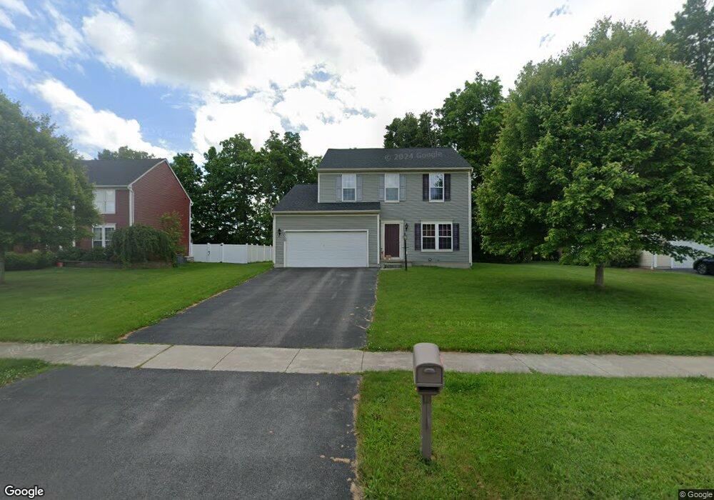
2000 Stablegate Dr Canandaigua, NY 14424
Estimated Value: $390,194 - $437,000
4
Beds
3
Baths
1,958
Sq Ft
$212/Sq Ft
Est. Value
About This Home
This home is located at 2000 Stablegate Dr, Canandaigua, NY 14424 and is currently estimated at $415,299, approximately $212 per square foot. 2000 Stablegate Dr is a home located in Ontario County with nearby schools including Canandaigua Primary-Elementary School, Canandaigua Middle School, and Canandaigua Academy.
Ownership History
Date
Name
Owned For
Owner Type
Purchase Details
Closed on
Jan 22, 2008
Sold by
Nvr Inc D/B/A Ryan Homes
Bought by
Mcmillen Raymond
Current Estimated Value
Home Financials for this Owner
Home Financials are based on the most recent Mortgage that was taken out on this home.
Original Mortgage
$178,946
Outstanding Balance
$110,952
Interest Rate
6.17%
Estimated Equity
$304,347
Purchase Details
Closed on
Oct 12, 2007
Sold by
A & D Devlp Co
Bought by
Nvr Inc
Create a Home Valuation Report for This Property
The Home Valuation Report is an in-depth analysis detailing your home's value as well as a comparison with similar homes in the area
Home Values in the Area
Average Home Value in this Area
Purchase History
| Date | Buyer | Sale Price | Title Company |
|---|---|---|---|
| Mcmillen Raymond | $188,365 | -- | |
| Nvr Inc | $38,000 | -- |
Source: Public Records
Mortgage History
| Date | Status | Borrower | Loan Amount |
|---|---|---|---|
| Open | Mcmillen Raymond | $178,946 |
Source: Public Records
Tax History
| Year | Tax Paid | Tax Assessment Tax Assessment Total Assessment is a certain percentage of the fair market value that is determined by local assessors to be the total taxable value of land and additions on the property. | Land | Improvement |
|---|---|---|---|---|
| 2024 | $7,466 | $318,000 | $43,200 | $274,800 |
| 2023 | $7,627 | $318,000 | $43,200 | $274,800 |
| 2022 | $6,198 | $210,100 | $44,600 | $165,500 |
| 2021 | $6,036 | $210,100 | $44,600 | $165,500 |
| 2020 | $5,310 | $210,100 | $44,600 | $165,500 |
| 2019 | $0 | $207,100 | $44,600 | $162,500 |
| 2018 | $5,197 | $207,100 | $44,600 | $162,500 |
| 2017 | $0 | $190,000 | $44,600 | $145,400 |
| 2016 | $4,710 | $190,000 | $44,600 | $145,400 |
| 2015 | -- | $190,000 | $44,600 | $145,400 |
| 2014 | -- | $190,000 | $44,600 | $145,400 |
Source: Public Records
Map
Nearby Homes
- 1753 Maplewood Dr
- 5555 Purdy Rd Unit 55
- 1714 Jasper Dr
- 15 Farmbrook Dr
- 1579 Meadowbrook Ln
- 1570 Meadowbrook Ln
- 5764 Clover Meadow Ln
- 6027 Ivory Dr
- 6137 Caleb Ct
- 6127 Caleb Ct
- 6109 Caleb Ct
- 6114 Caleb Ct
- 6103 Caleb Ct
- 5722 Dalton Dr
- 1504 Osburn Ln
- 1549 Osburn Ln
- 7010 Cooper Place
- 6123 Ebony Ct
- 2033 County Road 8
- 1447 Emma Ln
- 2008 Stablegate Dr
- 1998 Stablegate Dr
- 2014 Stablegate Dr
- 1996 Stablegate Dr
- 2001 Stablegate Dr
- 1993 Stablegate Dr
- 2020 Stablegate Dr
- 2017 Stablegate Dr
- 6011 Palomino Ct
- 2034 Stablegate Dr
- 1985 Stablegate Dr
- 2025 Stablegate Dr
- 6017 Palomino Ct
- 2036 Stablegate Dr
- 2033 Stablegate Dr
- 1977 Stablegate Dr
- 5988 Palomino Ct
- 2041 Stablegate Dr
- 1969 Stablegate Dr
- 2044 Stablegate Dr
Your Personal Tour Guide
Ask me questions while you tour the home.