2000 Weather Hill Rd Forest, VA 24551
Estimated Value: $556,931 - $685,000
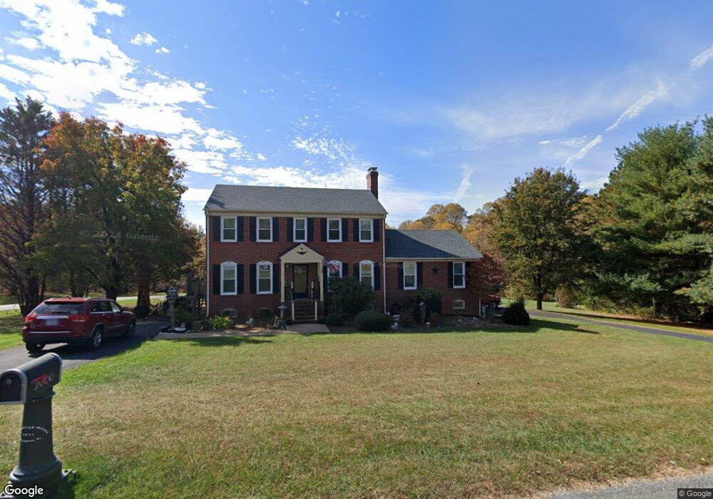
About This Home
This home is located at 2000 Weather Hill Rd, Forest, VA 24551 and is currently estimated at $612,733, approximately $197 per square foot. 2000 Weather Hill Rd is a home located in Bedford County with nearby schools including Forest Elementary School, Forest Middle School, and Jefferson Forest High School.
Ownership History
We collect this data history from publicly available records. To have your information removed, we recommend requesting removal directly through your county’s website.
Purchase Details
Home Financials for this Owner
Home Financials are based on the most recent Mortgage that was taken out on this home.Purchase Details
Home Financials for this Owner
Home Financials are based on the most recent Mortgage that was taken out on this home.Purchase History
We collect this data history from publicly available records. To have your information removed, we recommend requesting removal directly through your county’s website.
| Date | Buyer | Sale Price | Title Company |
|---|---|---|---|
| -- | None Available | ||
| -- | None Available |
Mortgage History
We collect this data history from publicly available records. To have your information removed, we recommend requesting removal directly through your county’s website.
| Date | Status | Borrower | Loan Amount |
|---|---|---|---|
| Open | $308,000 | ||
| Previous Owner | $303,000 |
Tax History
We collect this data history from publicly available records. To have your information removed, we recommend requesting removal directly through your county’s website.
| Year | Tax Paid | Tax Assessment Tax Assessment Total Assessment is a certain percentage of the fair market value that is determined by local assessors to be the total taxable value of land and additions on the property. | Land | Improvement |
|---|---|---|---|---|
| 2025 | $1,913 | $466,700 | $82,000 | $384,700 |
| 2024 | $1,913 | $466,700 | $82,000 | $384,700 |
| 2023 | $1,913 | $233,350 | $0 | $0 |
| 2022 | $1,768 | $176,750 | $0 | $0 |
| 2021 | $1,768 | $353,500 | $62,000 | $291,500 |
| 2020 | $1,768 | $353,500 | $62,000 | $291,500 |
| 2019 | $1,768 | $353,500 | $62,000 | $291,500 |
| 2018 | $1,738 | $334,200 | $45,000 | $289,200 |
| 2017 | $1,738 | $334,200 | $45,000 | $289,200 |
| 2016 | $1,738 | $334,200 | $45,000 | $289,200 |
| 2015 | $1,738 | $334,200 | $45,000 | $289,200 |
| 2014 | $1,737 | $334,100 | $35,000 | $299,100 |
Map
- 2002 Weatherhill Rd
- 316 Quail Ridge Dr
- 100 Meadowgate Dr
- 1057 Smartview Ln
- Lot 2 Gilfield Dr
- 1 Gilfield Dr
- Lot 1 Gilfield Dr
- 2 Gilfield Dr
- 1423 Lakepointe Dr
- 1343 Smartview Ln
- 1112 Howards Scenic Trail
- 1009 Val Ter Ct
- 1547 Gilfield Dr
- 1089 Howards Scenic Trail
- 0 Gilfield Dr
- 1148 Val Terrace Ct
- 6559 Cottontown Rd
- 309 Eastwind Dr
- 112 Haines Point Terrace
- 305 Lake Ridge Dr
- 2002 Weather Hill Rd
- 2004 Weather Hill Rd
- 404 Quail Ridge Dr
- 2001 Weather Hill Rd
- 2001 Weatherhill Rd
- 2003 Weatherhill Rd
- 2003 Weather Hill Rd
- 2005 Weatherhill Rd
- 2008 Weather Hill Rd
- 2005 Weather Hill Rd
- 400 Quail Ridge Dr
- 2007 Weatherhill Rd
- 405 Quail Ridge Dr
- 1919 Eastway Ln
- 2010 Weather Hill Rd
- 2010 Weatherhill Rd
- 2009 Weather Hill Rd
- 1914 Eastway Ln
- 1917 Eastway Ln
- 401 Quail Ridge Dr
Ask me questions while you tour the home.