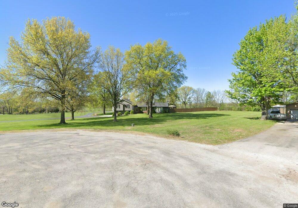
20005 Cole Rd Kearney, MO 64060
Estimated Value: $509,000 - $574,000
About This Home
This home is located at 20005 Cole Rd, Kearney, MO 64060 and is currently estimated at $545,465, approximately $254 per square foot. 20005 Cole Rd is a home located in Clay County with nearby schools including Kearney Junior High School and Kearney High School.
Ownership History
We collect this data history from publicly available records. To have your information removed, we recommend requesting removal directly through your county’s website.
Purchase Details
Purchase Details
Home Financials for this Owner
Home Financials are based on the most recent Mortgage that was taken out on this home.Purchase Details
Purchase Details
Purchase Details
Home Financials for this Owner
Home Financials are based on the most recent Mortgage that was taken out on this home.Home Values in the Area
Average Home Value in this Area
Purchase History
We collect this data history from publicly available records. To have your information removed, we recommend requesting removal directly through your county’s website.
| Date | Buyer | Sale Price | Title Company |
|---|---|---|---|
| -- | United Title Company Inc | ||
| $281,900 | Thomson Title Corp | ||
| -- | -- | ||
| -- | -- | ||
| -- | Thomson Title Corp |
Mortgage History
We collect this data history from publicly available records. To have your information removed, we recommend requesting removal directly through your county’s website.
| Date | Status | Borrower | Loan Amount |
|---|---|---|---|
| Previous Owner | $128,000 | ||
| Previous Owner | $120,821 |
Tax History
We collect this data history from publicly available records. To have your information removed, we recommend requesting removal directly through your county’s website.
| Year | Tax Paid | Tax Assessment Tax Assessment Total Assessment is a certain percentage of the fair market value that is determined by local assessors to be the total taxable value of land and additions on the property. | Land | Improvement |
|---|---|---|---|---|
| 2025 | $4,773 | $79,000 | -- | -- |
| 2024 | $4,350 | $68,760 | -- | -- |
| 2023 | $4,334 | $68,760 | $0 | $0 |
| 2022 | $4,255 | $65,380 | $0 | $0 |
| 2021 | $4,164 | $65,379 | $7,657 | $57,722 |
| 2020 | $4,043 | $57,670 | $0 | $0 |
| 2019 | $4,020 | $57,670 | $0 | $0 |
| 2018 | $3,260 | $45,200 | $0 | $0 |
| 2017 | $3,221 | $45,200 | $5,980 | $39,220 |
| 2016 | $3,221 | $45,200 | $5,980 | $39,220 |
| 2015 | $3,221 | $45,200 | $5,980 | $39,220 |
| 2014 | $3,109 | $43,390 | $5,980 | $37,410 |
Map
- 16816 Ragsdale Rd
- 20819 NE 171 St
- 20622 NE 172nd St
- 16023 Jesse James Farm Rd
- 15813 Sugar Plum Rd
- Lot 5 Arnold Park
- 701 N Jesse St
- 704 Woodson St
- 615 Woodson St
- 208 S Marimack Ct
- 204 S Marimack Ct
- 206 W Lawrence St
- 9804 NE 172nd St
- 212 Melinda Dr
- 17323 Landmark Dr
- 810 Pine Crest Ave
- 0 W Washington St
- Parcel B W Washington St
- Parcel A W Washington St
- 1004 Sloan Cir
- 20004 Cole Rd
- 20021 Cole Rd
- 20022 Cole Rd
- 20204 Cole Rd
- 20207 Cole Rd
- 19804 NE 164th St
- 20223 Cole Rd
- 16820 Cole Rd
- 19610 NE 164th St
- 16522 Ragsdale Rd
- 16815 Cole Rd
- 16618 Ragsdale Rd
- 16824 Cole Rd
- 16720 Ragsdale Rd
- 16706 Ragsdale Rd
- 19612 NE 164th St
- 20201 NE 170th St
- 16823 Cole Rd
- 16800 Ragsdale Rd
- 16426 Ragsdale Rd
Ask me questions while you tour the home.