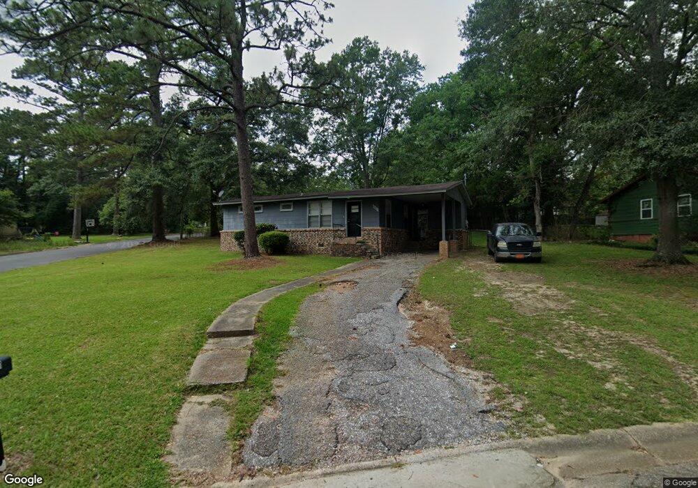
2001 Hamilton Rd Mobile, AL 36618
Autumndale NeighborhoodEstimated Value: $75,351 - $103,000
3
Beds
1
Bath
1,000
Sq Ft
$90/Sq Ft
Est. Value
About This Home
This home is located at 2001 Hamilton Rd, Mobile, AL 36618 and is currently estimated at $89,838, approximately $89 per square foot. 2001 Hamilton Rd is a home located in Mobile County with nearby schools including Forest Hill Elementary School, CL Scarborough Middle School, and Mattie T Blount High School.
Ownership History
Date
Name
Owned For
Owner Type
Purchase Details
Closed on
Aug 23, 2005
Sold by
Hughes Cynatra A
Bought by
Crenshaw Leroy and Crenshaw Janice M
Current Estimated Value
Purchase Details
Closed on
Jun 24, 2004
Sold by
Pierpont Harry
Bought by
Hughes Cynatra A
Home Financials for this Owner
Home Financials are based on the most recent Mortgage that was taken out on this home.
Original Mortgage
$8,000
Interest Rate
10%
Mortgage Type
Seller Take Back
Create a Home Valuation Report for This Property
The Home Valuation Report is an in-depth analysis detailing your home's value as well as a comparison with similar homes in the area
Home Values in the Area
Average Home Value in this Area
Purchase History
| Date | Buyer | Sale Price | Title Company |
|---|---|---|---|
| Crenshaw Leroy | -- | -- | |
| Hughes Cynatra A | $45,000 | -- |
Source: Public Records
Mortgage History
| Date | Status | Borrower | Loan Amount |
|---|---|---|---|
| Previous Owner | Hughes Cynatra A | $8,000 |
Source: Public Records
Tax History
| Year | Tax Paid | Tax Assessment Tax Assessment Total Assessment is a certain percentage of the fair market value that is determined by local assessors to be the total taxable value of land and additions on the property. | Land | Improvement |
|---|---|---|---|---|
| 2025 | $588 | $9,260 | $2,000 | $7,260 |
| 2024 | $570 | $8,980 | $2,000 | $6,980 |
| 2023 | $580 | $8,760 | $2,000 | $6,760 |
| 2022 | $533 | $8,400 | $2,000 | $6,400 |
| 2021 | $493 | $7,760 | $1,600 | $6,160 |
| 2020 | $470 | $7,400 | $1,200 | $6,200 |
| 2019 | $448 | $7,060 | $1,200 | $5,860 |
| 2018 | $448 | $7,060 | $0 | $0 |
| 2017 | $427 | $6,720 | $0 | $0 |
| 2016 | $648 | $10,200 | $0 | $0 |
| 2013 | $704 | $10,000 | $0 | $0 |
Source: Public Records
Map
Nearby Homes
- 2113 Cornell Dr
- 2004 Beau Terra Dr W
- 2205 Beau Terra Dr W
- 1758 La Pine Dr
- 4060 Dickson Ln
- 1757 Le Grande Dr
- 2210 Wolf Ridge Rd
- 871 Kuffskie Ln
- 0 Junius Ln
- 4409 Eastview Dr
- 1561 Phillips Ln
- 1701 Phillips Ln
- 6632 Monarch Cir
- 21 Brucewood Dr W
- 1121 Stevens Ln
- 3531 Anton St
- 1811 Butler St
- 3514 Anton St
- 1724 Sandalwood Dr
- 6 Brucewood Dr W
- 2005 Hamilton Rd
- 2000 Wolf Ridge Rd
- 2004 Wolf Ridge Rd
- 2000 Hamilton Rd
- 2009 Hamilton Rd
- 4051 Holleman Dr
- 4059 Holleman Dr
- 4035 Holleman Dr
- 2008 Wolf Ridge Rd
- 2004 Hamilton Rd
- 2101 Hamilton Rd
- 4031 Holleman Dr
- 4024 Holleman Dr
- 2100 Wolf Ridge Rd
- 4027 Holleman Dr
- 2103 Hamilton Rd
- 4020 Holleman Dr
- 2102 Hamilton Rd
- 2104 Wolf Ridge Rd
- 4023 Holleman Dr
Your Personal Tour Guide
Ask me questions while you tour the home.