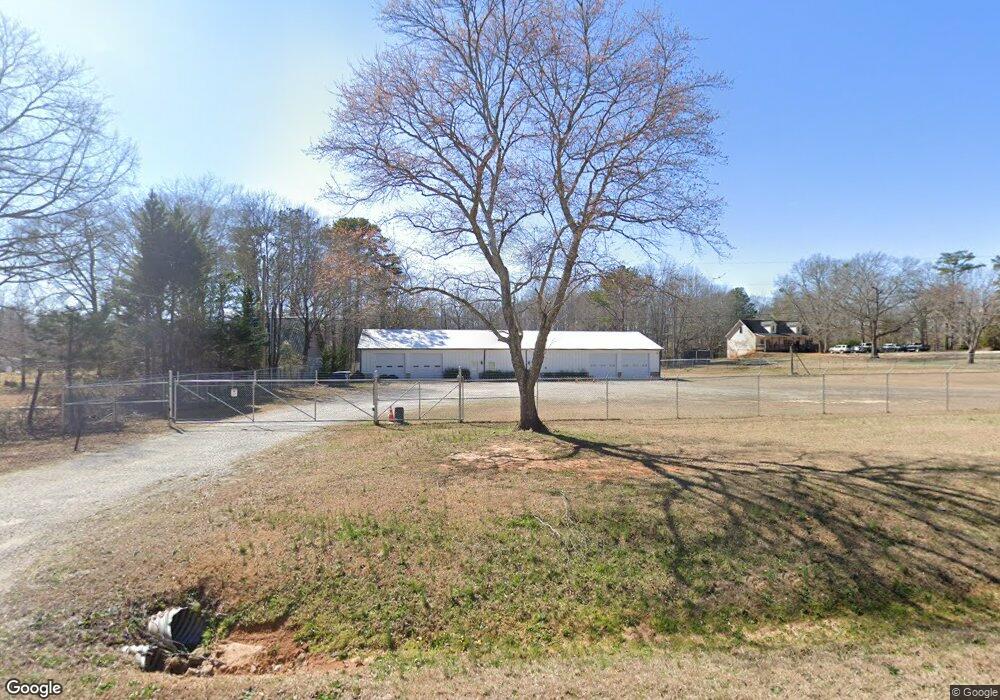
2001 Malcom Bridge Rd Bogart, GA 30622
Bogart AreaEstimated Value: $931,421
About This Home
This home is located at 2001 Malcom Bridge Rd, Bogart, GA 30622 and is currently estimated at $931,421, approximately $9 per square foot. 2001 Malcom Bridge Rd is a home located in Oconee County with nearby schools including Malcom Bridge Elementary School, Malcom Bridge Middle School, and North Oconee High School.
Ownership History
We collect this data history from publicly available records. To have your information removed, we recommend requesting removal directly through your county’s website.
Purchase Details
Purchase Details
Purchase Details
Purchase History
We collect this data history from publicly available records. To have your information removed, we recommend requesting removal directly through your county’s website.
| Date | Buyer | Sale Price | Title Company |
|---|---|---|---|
| -- | -- | ||
| $790,000 | -- | ||
| $100,000 | -- | ||
| $350,000 | -- |
Tax History
We collect this data history from publicly available records. To have your information removed, we recommend requesting removal directly through your county’s website.
| Year | Tax Paid | Tax Assessment Tax Assessment Total Assessment is a certain percentage of the fair market value that is determined by local assessors to be the total taxable value of land and additions on the property. | Land | Improvement |
|---|---|---|---|---|
| 2025 | $6,950 | $383,026 | $149,820 | $233,206 |
| 2024 | $6,950 | $331,907 | $149,820 | $182,087 |
| 2023 | $6,202 | $311,297 | $149,820 | $161,477 |
| 2022 | $5,521 | $257,318 | $99,880 | $157,438 |
| 2021 | $3,865 | $166,957 | $90,800 | $76,157 |
| 2020 | $2,467 | $106,408 | $76,272 | $30,136 |
| 2019 | $2,664 | $114,916 | $76,272 | $38,644 |
| 2018 | $2,781 | $117,398 | $76,272 | $41,126 |
| 2017 | $2,781 | $117,398 | $76,272 | $41,126 |
| 2016 | $2,590 | $109,354 | $69,462 | $39,892 |
| 2015 | $2,645 | $111,417 | $69,462 | $41,955 |
| 2014 | $2,706 | $111,417 | $69,462 | $41,955 |
| 2013 | -- | $113,604 | $69,462 | $44,142 |
Map
- 1983 Malcom Estates Dr
- 2653 Malcom Estates Ridge
- 2125 Malcom Estates Dr
- 1654 Malcom Estates Ridge
- 1370 Malcom Estates Ct
- 1285 Malcom Estates Ct
- 1121 Malcom Estates Ct Unit Lot 49
- 2262 Malcom Estates Dr
- 2275 Malcom Estates Dr
- 1220 Mallard Cir
- 1050 Long Creek Dr
- 1479 Mcfall Ct
- 1250 Hammond Creek Trail
- 2528 Malcom Estates Dr Unit 11
- 2528 Malcom Estates Dr
- 1491 Virgil Langford Rd
- 1857 Cambridge Square
- 1721 Cambridge Square
- 1010 Briar Lakes Ct
- 2501 Morningside Way
- 1981 Malcom Bridge Rd
- 2021 Malcom Bridge Rd
- 1951 Malcom Bridge Rd
- 1931 Malcom Bridge Rd
- 2061 Malcom Bridge Rd
- 1960 Malcom Bridge Rd
- 2031 Malcom Bridge Rd
- 2101 Malcom Bridge Rd
- 0 Lenru Rd
- 00 Lenru Rd
- 0 Lenru Rd Unit CM979783
- 0 Lenru Rd Unit CM926312
- 0 Lenru Rd Unit CM903380
- 0 Lenru Rd Unit CM919950
- 0 Lenru Rd Unit CM929443
- 0 Lenru Rd Unit CM916037
- 0 Lenru Rd Unit 1002823
- 0 Lenru Rd Unit 921953
- 0 Lenru Rd Unit 2944619
- 0 Lenru Rd Unit 3282252
Ask me questions while you tour the home.