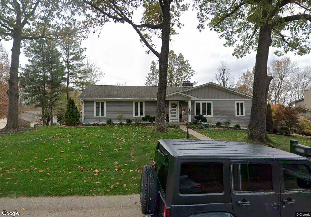
2001 Sara Dr Cape Girardeau, MO 63701
Estimated Value: $310,000 - $482,719
3
Beds
3
Baths
1,820
Sq Ft
$215/Sq Ft
Est. Value
About This Home
This home is located at 2001 Sara Dr, Cape Girardeau, MO 63701 and is currently estimated at $392,180, approximately $215 per square foot. 2001 Sara Dr is a home located in Cape Girardeau County with nearby schools including Alma Schrader Elementary School, Central Middle School, and Central Junior High School.
Ownership History
Date
Name
Owned For
Owner Type
Purchase Details
Closed on
Jul 7, 2021
Sold by
Bennett Jeffrey T and Bennett Laura
Bought by
Dunn Robert and Dunn Amy
Current Estimated Value
Home Financials for this Owner
Home Financials are based on the most recent Mortgage that was taken out on this home.
Original Mortgage
$302,500
Interest Rate
2.8%
Mortgage Type
New Conventional
Purchase Details
Closed on
Jun 11, 2015
Sold by
Merritt Mark and Merritt Tonya
Bought by
Bennett Jeffrey T and Bennett Laura
Create a Home Valuation Report for This Property
The Home Valuation Report is an in-depth analysis detailing your home's value as well as a comparison with similar homes in the area
Purchase History
| Date | Buyer | Sale Price | Title Company |
|---|---|---|---|
| Dunn Robert | -- | None Available | |
| Bennett Jeffrey T | -- | -- |
Source: Public Records
Mortgage History
| Date | Status | Borrower | Loan Amount |
|---|---|---|---|
| Previous Owner | Dunn Robert | $302,500 |
Source: Public Records
Tax History
| Year | Tax Paid | Tax Assessment Tax Assessment Total Assessment is a certain percentage of the fair market value that is determined by local assessors to be the total taxable value of land and additions on the property. | Land | Improvement |
|---|---|---|---|---|
| 2025 | $1,902 | $36,410 | $3,770 | $32,640 |
| 2024 | $18 | $34,680 | $3,590 | $31,090 |
| 2023 | $1,802 | $34,680 | $3,590 | $31,090 |
| 2022 | $1,662 | $31,960 | $3,310 | $28,650 |
| 2021 | $1,662 | $31,960 | $3,310 | $28,650 |
| 2020 | $1,667 | $31,960 | $3,310 | $28,650 |
| 2019 | $1,664 | $31,960 | $0 | $0 |
| 2018 | $1,661 | $31,960 | $0 | $0 |
| 2017 | $1,665 | $31,960 | $0 | $0 |
| 2016 | $1,558 | $30,020 | $0 | $0 |
| 2015 | $1,559 | $30,020 | $0 | $0 |
| 2014 | $1,549 | $29,690 | $0 | $0 |
Source: Public Records
Map
Nearby Homes
- 2310 Belleridge Pike
- 2019 Kevin Dr
- 2146 Belleridge Pike
- 2022 Allen Dr
- 2420 Kent Dr
- 1910 Grandview Dr
- 1843 Dixie Blvd
- 2033 Anthony Dr
- 2061 Steven Dr
- 1925 Randol Dr
- 3051 N Church St
- 2009 Steven Dr
- 2137 Chesapeake Ave
- 2062 Concord Place
- 2618 Melrose Ave
- 1952 Perryville Rd
- 2010 Chesapeake Ave
- 2933 Bella Vista Dr
- 3231 Lakewood Dr
- 2932 Bella Vista Dr
- 2001 Sara St
- 2005 Sara St
- 2002 Andrew Dr
- 2006 Andrew Dr
- 2243 Belleridge Pike
- 2302 Belleridge Pike
- 2009 Sara St
- 2301 Belleridge Pike
- 2010 Andrew Dr
- 2240 Belleridge Pike
- 2303 Belleridge Pike
- 2010 Sara St
- 2304 Belleridge Pike
- 2005 Andrew Dr
- 2013 Sara St
- 2001 Andrew Dr
- 2013 Beth Dr
- 2236 Belleridge Pike
- 101 Beth
- 2014 Andrew Dr
Your Personal Tour Guide
Ask me questions while you tour the home.