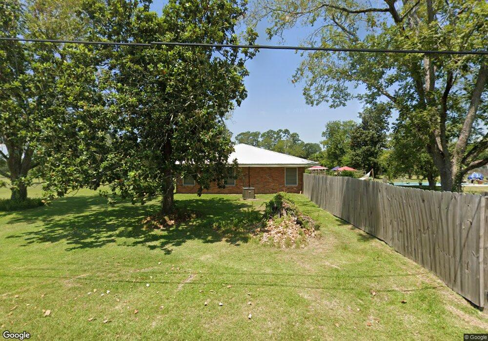
2002 Blankenship Dr Deridder, LA 70634
Estimated Value: $213,000 - $235,000
3
Beds
3
Baths
2,465
Sq Ft
$91/Sq Ft
Est. Value
About This Home
This home is located at 2002 Blankenship Dr, Deridder, LA 70634 and is currently estimated at $223,349, approximately $90 per square foot. 2002 Blankenship Dr is a home located in Beauregard Parish with nearby schools including K.R. Hanchey Elementary School, Pine Wood Elementary School, and DeRidder Junior High School.
Ownership History
Date
Name
Owned For
Owner Type
Purchase Details
Closed on
Nov 16, 2018
Sold by
Robertson John L and Robertson Cathy Ann
Bought by
Brown Talton and Brown Loraine F
Current Estimated Value
Home Financials for this Owner
Home Financials are based on the most recent Mortgage that was taken out on this home.
Original Mortgage
$166,666
Outstanding Balance
$145,681
Interest Rate
4.8%
Mortgage Type
New Conventional
Estimated Equity
$77,668
Create a Home Valuation Report for This Property
The Home Valuation Report is an in-depth analysis detailing your home's value as well as a comparison with similar homes in the area
Purchase History
| Date | Buyer | Sale Price | Title Company |
|---|---|---|---|
| Brown Talton | $165,000 | None Available |
Source: Public Records
Mortgage History
| Date | Status | Borrower | Loan Amount |
|---|---|---|---|
| Open | Brown Talton | $166,666 |
Source: Public Records
Tax History
| Year | Tax Paid | Tax Assessment Tax Assessment Total Assessment is a certain percentage of the fair market value that is determined by local assessors to be the total taxable value of land and additions on the property. | Land | Improvement |
|---|---|---|---|---|
| 2025 | $1,376 | $13,316 | $1,200 | $12,116 |
| 2024 | $1,367 | $13,316 | $1,200 | $12,116 |
| 2023 | $1,399 | $13,316 | $1,200 | $12,116 |
| 2022 | $1,398 | $13,316 | $1,200 | $12,116 |
| 2021 | $1,398 | $13,316 | $1,200 | $12,116 |
| 2020 | $889 | $8,470 | $1,200 | $7,270 |
| 2019 | $1,262 | $12,007 | $1,200 | $10,807 |
| 2018 | $1,262 | $12,007 | $1,200 | $10,807 |
| 2017 | $1,262 | $12,007 | $1,200 | $10,807 |
| 2016 | $1,262 | $12,007 | $1,200 | $10,807 |
| 2015 | $863 | $8,523 | $1,000 | $7,523 |
| 2014 | $182 | $8,523 | $1,000 | $7,523 |
Source: Public Records
Map
Nearby Homes
- 2025 Bennett St
- 2011 Hampton St
- 111 Henderson St
- 2118 Blankenship Dr
- 918 Birch Dr
- 147 S Planer Mill Rd
- 113 Tara Dr
- 1015 Michael Dr
- 190 Blue Ridge Rd Unit Blue Ridge
- 1406 Camelia Dr
- 122 Azalea Ave
- 2600 Robert e Lee Dr
- 0 Stillwood
- 143 Kerry St
- 276 Dedria Ln
- 0 Tbd Land Bayou Pines Lot 57
- 0 Idlewood Ln
- 1598 Glendale Rd
- 0 Bilbo Street (Tract 1)
- 0 Bilbo Street (Tract 2)
- 2004 Blankenship Dr
- 306 Nolen St
- 308 Nolen St
- 303 Nolen St
- 2009 Bennett St
- 302 Nolen St
- 2002 Bennett St
- 2008 Blankenship Dr
- 1906 Blankenship Dr
- 2010 Bennett St
- 311 Long St
- 1904 Blankenship Dr
- 308 Long St
- 206 Nolen St
- 306 Long St
- 2014 Bennett St
- 2017 Bennett St
- 1902 Blankenship Dr
- 304 Long St
- 201 Nolen St
Your Personal Tour Guide
Ask me questions while you tour the home.