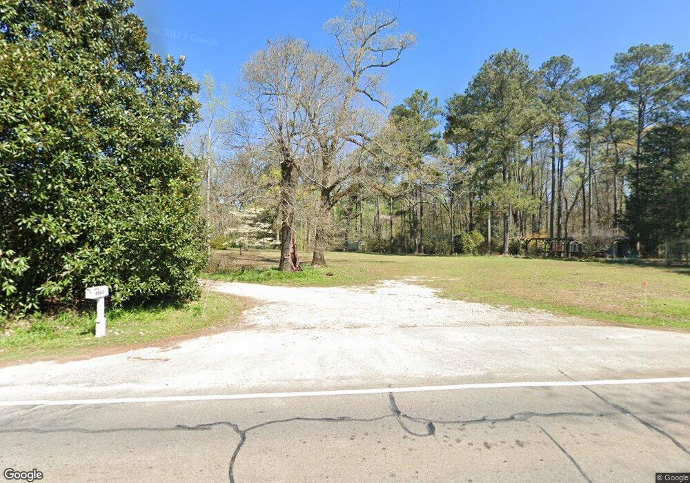
2002 Roanoke Rd Lagrange, GA 30240
Estimated Value: $459,000 - $522,029
About This Home
This home is located at 2002 Roanoke Rd, Lagrange, GA 30240 and is currently estimated at $490,507, approximately $114 per square foot. 2002 Roanoke Rd is a home located in Troup County with nearby schools including Ethel W. Kight Elementary School, Hollis Hand Elementary School, and Franklin Forest Elementary School.
Ownership History
We collect this data history from publicly available records. To have your information removed, we recommend requesting removal directly through your county’s website.
Purchase Details
Home Financials for this Owner
Home Financials are based on the most recent Mortgage that was taken out on this home.Purchase Details
Purchase Details
Purchase History
We collect this data history from publicly available records. To have your information removed, we recommend requesting removal directly through your county’s website.
| Date | Buyer | Sale Price | Title Company |
|---|---|---|---|
| $316,000 | -- | ||
| $860,400 | -- | ||
| -- | -- |
Mortgage History
We collect this data history from publicly available records. To have your information removed, we recommend requesting removal directly through your county’s website.
| Date | Status | Borrower | Loan Amount |
|---|---|---|---|
| Open | $252,800 |
Tax History
We collect this data history from publicly available records. To have your information removed, we recommend requesting removal directly through your county’s website.
| Year | Tax Paid | Tax Assessment Tax Assessment Total Assessment is a certain percentage of the fair market value that is determined by local assessors to be the total taxable value of land and additions on the property. | Land | Improvement |
|---|---|---|---|---|
| 2025 | $5,263 | $207,220 | $19,600 | $187,620 |
| 2024 | $4,656 | $172,700 | $19,600 | $153,100 |
| 2023 | $4,669 | $173,180 | $19,600 | $153,580 |
| 2022 | $4,500 | $161,220 | $19,600 | $141,620 |
| 2021 | $2,922 | $96,892 | $17,000 | $79,892 |
| 2020 | $2,597 | $88,092 | $17,000 | $71,092 |
| 2019 | $2,444 | $83,032 | $17,000 | $66,032 |
| 2018 | $2,261 | $76,964 | $17,000 | $59,964 |
| 2017 | $2,261 | $76,964 | $17,000 | $59,964 |
| 2016 | $2,227 | $75,839 | $17,000 | $58,839 |
| 2015 | $2,231 | $75,839 | $17,000 | $58,839 |
| 2014 | $2,141 | $72,742 | $17,000 | $55,742 |
| 2013 | -- | $77,024 | $17,000 | $60,024 |
Map
- 0 Unit 10514554
- 227 W Lakeview Dr
- 802 Monroe St
- 519 Freeman St
- 0 Hills and Dales Farm Rd
- 3 Crown St Unit LOT 1
- 9 Crown St Unit LOT 4
- 113 Oakview Ln
- 211 Moores Hill
- 0 Moores Hill
- 138 Martha St
- 202 Parker Ln
- 310 N Lee St
- 205 Grady St
- 412 S Lee St
- 0 N Lee St Unit 10550825
- 903 Troup St
- 109 Garfield St
- 217 Jefferson St
- 613 S Lee St
- 4004 Old Rd W
- 0 Wateview Dr (Lots 10 & 9b) Unit 20061582
- 0 Moore Hill Rd Unit 20026710
- 1396 Baughs Cross Rd
- 201 Rural St Unit 1B
- 201 Rural St
- 1955 Roanoke Rd
- 651 Sharmanlot 14 Rd
- 36 Camp
- 2227 Roanoke Rd
- 0 Willaims Rd Unit 20023167
- 124 Reed Dr
- 1902 Roanoke Rd
- 71 Reed Dr
- 97 Terrace Cir
- 51 Reed Dr
- 107 Terrace Cir
- 47 Reed Dr
- 104 Terrace Dr
- Lot 23 Terrace Cir
Ask me questions while you tour the home.