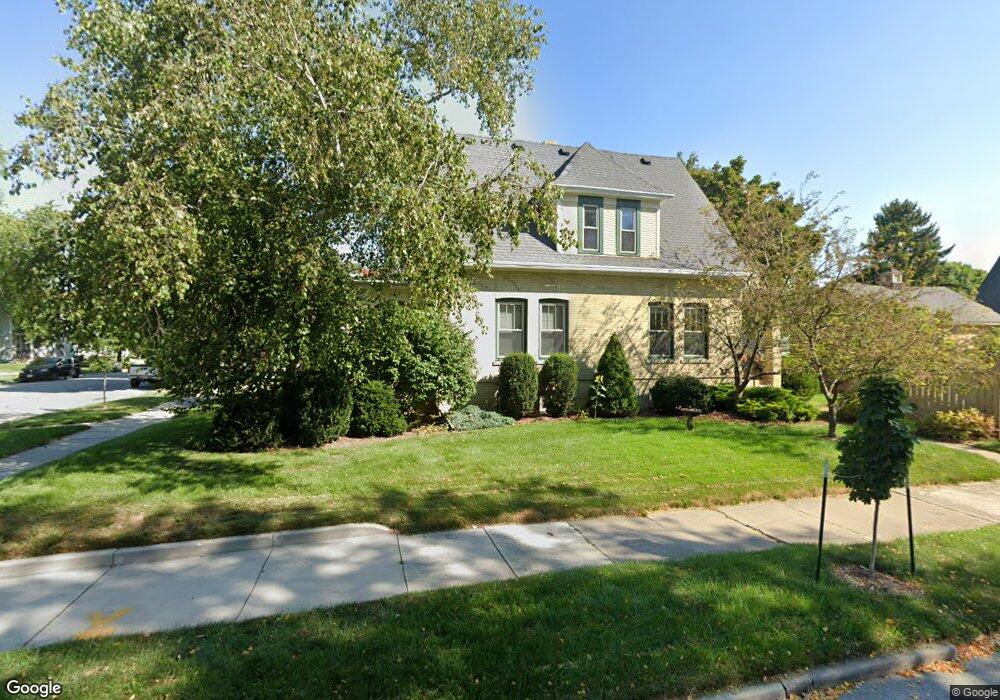
2003 N 10th St Sheboygan, WI 53081
Central Sheboygan NeighborhoodEstimated Value: $254,147 - $281,000
4
Beds
2
Baths
1,667
Sq Ft
$161/Sq Ft
Est. Value
About This Home
This home is located at 2003 N 10th St, Sheboygan, WI 53081 and is currently estimated at $267,787, approximately $160 per square foot. 2003 N 10th St is a home located in Sheboygan County with nearby schools including Grant Elementary School, Urban Middle School, and North High School.
Ownership History
Date
Name
Owned For
Owner Type
Purchase Details
Closed on
Nov 10, 2017
Sold by
Skasa Christina L
Bought by
Rozmarynowski Mark A
Current Estimated Value
Purchase Details
Closed on
Nov 2, 2015
Sold by
Rozmarynowski Mark A. Mark A. and Rozmarynowski Mark A
Bought by
Vanorden Kenneth C and Vanorden Donna L
Create a Home Valuation Report for This Property
The Home Valuation Report is an in-depth analysis detailing your home's value as well as a comparison with similar homes in the area
Home Values in the Area
Average Home Value in this Area
Purchase History
| Date | Buyer | Sale Price | Title Company |
|---|---|---|---|
| Rozmarynowski Mark A | -- | -- | |
| Vanorden Kenneth C | $129,500 | -- |
Source: Public Records
Tax History
| Year | Tax Paid | Tax Assessment Tax Assessment Total Assessment is a certain percentage of the fair market value that is determined by local assessors to be the total taxable value of land and additions on the property. | Land | Improvement |
|---|---|---|---|---|
| 2024 | $3,462 | $212,700 | $17,400 | $195,300 |
| 2023 | $3,106 | $177,200 | $16,700 | $160,500 |
| 2022 | $2,600 | $148,000 | $16,700 | $131,300 |
| 2021 | $2,148 | $92,700 | $14,500 | $78,200 |
| 2020 | $2,266 | $92,700 | $14,500 | $78,200 |
| 2019 | $2,134 | $92,700 | $14,500 | $78,200 |
| 2018 | $2,126 | $92,700 | $14,500 | $78,200 |
| 2017 | $2,104 | $92,700 | $14,500 | $78,200 |
| 2016 | $2,105 | $92,700 | $14,500 | $78,200 |
| 2015 | $2,205 | $92,700 | $14,500 | $78,200 |
| 2014 | $2,288 | $92,700 | $14,500 | $78,200 |
Source: Public Records
Map
Nearby Homes
- 2002 N 8th St
- 1135 Logan Ave
- 1236 Trimberger Ct
- 1934 N 7th St
- 1831 N 7th St
- 1619 Calumet Dr
- 1345 Annie Ct
- 1424 Mehrtens Ave
- 1323 N 10th St
- 2430 N 5th St
- 1217 North Ave
- 908 Michigan Ave
- 1201 Michigan Ave
- 1603 Martin Ave
- 2811 N 11th St
- 1115 N 11th St
- 1344 School Ave
- 703 Saint Clair Ave
- 115 Lincoln Ave
- 1108 Ontario Ave
- 2007 N 10th St
- 2002 N 10th St
- 2009 N 10th St
- 1953 N 10th St
- 929 Bluff Ave
- 2013 N 10th St
- 2008 N 10th St
- 921 Bluff Ave
- 1952 N 10th St
- 1952 N 10th St Unit 1005 Bluff Ave
- 913 Bluff Ave
- 924 Bluff Ave
- 920 Bluff Ave
- 916 Bluff Ave
- 917 Bluff Ave
- 1947 N 10th St
- 2019 N 10th St
- 2012 N 10th St
- 1944 N 10th St
- 1946 N 10th St
Your Personal Tour Guide
Ask me questions while you tour the home.