Estimated Value: $156,000 - $199,000
Studio
--
Bath
1,575
Sq Ft
$111/Sq Ft
Est. Value
About This Home
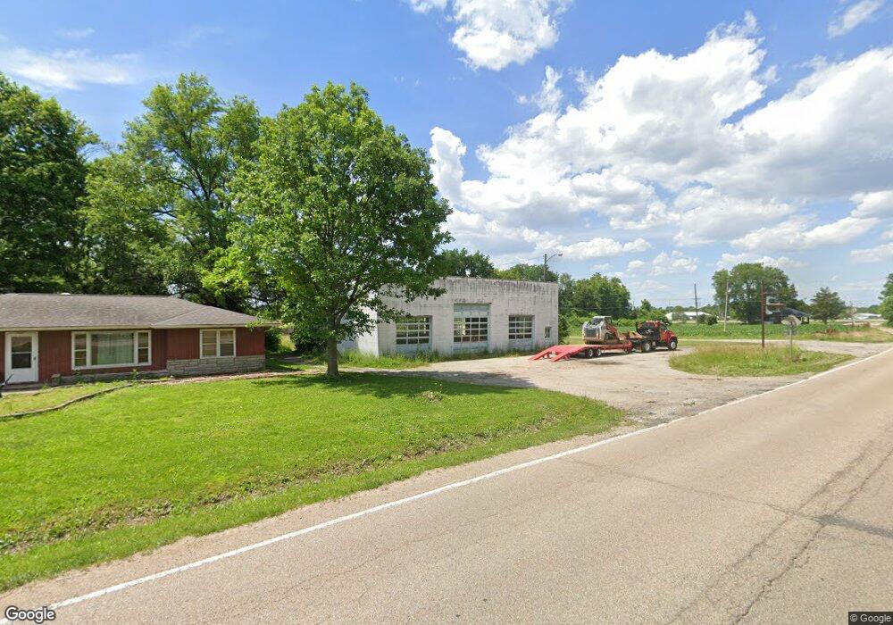
This home is located at 2003 S Main St, Dupo, IL 62239 and is currently estimated at $174,060, approximately $110 per square foot. 2003 S Main St is a home located in St. Clair County with nearby schools including Bluffview Elementary School and Dupo High School.
Ownership History
Date
Name
Owned For
Owner Type
Purchase Details
Closed on
Jun 26, 2023
Sold by
Horn Jeffrey S and Horn Sandra J
Bought by
Illinois Department Of Transportation
Current Estimated Value
Purchase Details
Closed on
Mar 19, 2003
Sold by
Heusohn Jill M
Bought by
Horn Jeffrey S and Horn Sandra J
Home Financials for this Owner
Home Financials are based on the most recent Mortgage that was taken out on this home.
Original Mortgage
$90,000
Interest Rate
5.96%
Purchase Details
Closed on
Feb 10, 2003
Sold by
Heusohn Curt and Heusohn Curtis J
Bought by
Heusohn Jill M
Home Financials for this Owner
Home Financials are based on the most recent Mortgage that was taken out on this home.
Original Mortgage
$90,000
Interest Rate
5.96%
Create a Home Valuation Report for This Property
The Home Valuation Report is an in-depth analysis detailing your home's value as well as a comparison with similar homes in the area
Home Values in the Area
Average Home Value in this Area
Purchase History
| Date | Buyer | Sale Price | Title Company |
|---|---|---|---|
| Illinois Department Of Transportation | $67,700 | None Available | |
| Horn Jeffrey S | $90,000 | Benchmark Title Company | |
| Heusohn Jill M | -- | -- |
Source: Public Records
Mortgage History
| Date | Status | Borrower | Loan Amount |
|---|---|---|---|
| Previous Owner | Horn Jeffrey S | $90,000 |
Source: Public Records
Tax History
| Year | Tax Paid | Tax Assessment Tax Assessment Total Assessment is a certain percentage of the fair market value that is determined by local assessors to be the total taxable value of land and additions on the property. | Land | Improvement |
|---|---|---|---|---|
| 2024 | $4,440 | $51,125 | $5,870 | $45,255 |
| 2023 | $4,797 | $49,449 | $7,398 | $42,051 |
| 2022 | $4,292 | $46,383 | $6,939 | $39,444 |
| 2021 | $4,164 | $43,650 | $6,530 | $37,120 |
| 2020 | $3,696 | $36,343 | $5,978 | $30,365 |
| 2019 | $3,489 | $36,343 | $5,978 | $30,365 |
| 2018 | $3,347 | $34,675 | $5,704 | $28,971 |
| 2017 | $3,264 | $32,221 | $5,300 | $26,921 |
| 2016 | $3,313 | $31,823 | $5,123 | $26,700 |
| 2014 | $3,086 | $31,823 | $5,123 | $26,700 |
| 2013 | $3,353 | $32,562 | $5,242 | $27,320 |
Source: Public Records
Map
Nearby Homes
- 2113 S Main St
- 2011 Shady Station Trail
- 2213 Stone Gate Dr
- 526 State St
- 403 State St
- 4 Ogle Estates
- 5 Ogle Estates
- 7 Ogle Estates
- 526 Columbia Rd
- 302 Fox Run Dr
- 500 Micahs Way
- 101 and 105 S 5th St
- 112 N 4th St
- 124 N 7th St
- 629 N 3rd St
- 2426 Sunset Ridge Dr
- 433 Audry Dr
- 1383 Walnut Ridge Dr
- 2411 Sunset Ridge Dr
- 1374 Walnut Ridge Dr
- 2015 S Main St
- 1937 S Main St
- 2019 S Main St
- 800 Lunceford Rd
- 2010 S Main St
- 2014 S Main St
- 2027 S Main St
- 1928 S Main St
- 2018 S Main St
- 2022 S Main St
- 805 Lunceford Rd
- 1909 S Main St
- 809 Lunceford Rd
- 812 Lunceford Rd
- 1920 S Main St
- 803 Imbs Station Rd
- 2005 Sugarloaf Dr
- 2105 S Main St
- 2101 S Main St
- 2009 Sugarloaf Dr
Your Personal Tour Guide
Ask me questions while you tour the home.