2004 Raper Rd Benton, AR 72015
Estimated Value: $118,755 - $199,000
About This Home
This home is located at 2004 Raper Rd, Benton, AR 72015 and is currently estimated at $151,189, approximately $157 per square foot. 2004 Raper Rd is a home located in Saline County with nearby schools including Westbrook Elementary School, Harmony Grove Middle School, and Harmony Grove High School.
Ownership History
We collect this data history from publicly available records. To have your information removed, we recommend requesting removal directly through your county’s website.
Purchase Details
Home Financials for this Owner
Home Financials are based on the most recent Mortgage that was taken out on this home.Home Values in the Area
Average Home Value in this Area
Purchase History
We collect this data history from publicly available records. To have your information removed, we recommend requesting removal directly through your county’s website.
| Date | Buyer | Sale Price | Title Company |
|---|---|---|---|
| -- | -- |
Mortgage History
We collect this data history from publicly available records. To have your information removed, we recommend requesting removal directly through your county’s website.
| Date | Status | Borrower | Loan Amount |
|---|---|---|---|
| Closed | $50,000 |
Tax History
We collect this data history from publicly available records. To have your information removed, we recommend requesting removal directly through your county’s website.
| Year | Tax Paid | Tax Assessment Tax Assessment Total Assessment is a certain percentage of the fair market value that is determined by local assessors to be the total taxable value of land and additions on the property. | Land | Improvement |
|---|---|---|---|---|
| 2025 | $642 | $18,520 | $4,200 | $14,320 |
| 2024 | $610 | $18,520 | $4,200 | $14,320 |
| 2023 | $312 | $18,520 | $4,200 | $14,320 |
| 2022 | $362 | $18,520 | $4,200 | $14,320 |
| 2021 | $363 | $11,850 | $2,600 | $9,250 |
| 2020 | $318 | $11,850 | $2,600 | $9,250 |
| 2019 | $285 | $11,850 | $2,600 | $9,250 |
| 2018 | $310 | $11,850 | $2,600 | $9,250 |
| 2017 | $310 | $11,850 | $2,600 | $9,250 |
| 2016 | $624 | $12,110 | $2,600 | $9,510 |
| 2015 | $324 | $12,110 | $2,600 | $9,510 |
| 2014 | $324 | $11,890 | $2,600 | $9,290 |
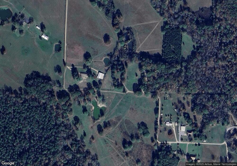
Map
- 0 Oklahoma Inn Rd Unit 24728946
- 0 Oklahoma Inn Rd Unit 24728947
- 4133 Brody Crossing
- 5111 Oklahoma Inn Rd
- 4.26 Acres Oklahoma Inn Rd
- Lot 4 Lewallen Rd
- Lot 5 Oklahoma Inn Rd
- 810 Troutman Rd
- 112 Kee Cove
- 108 Flight Cove
- 7801 Holy Ridge Cutoff
- 4051 Whitney Ln
- 113 Valderrama Dr
- 6105 Point View Rd
- 105 Kapalua Cove
- 109 Valderrama Dr
- 4951 Dixie Ln
- 4023 Lantern Hill Dr
- 3331 & 3425 Hutcheson Loop
- 4015 Lantern St
- 2002 Raper Rd
- 1816 Raper Rd
- 1804 Raper Rd
- 1740 Raper Rd
- 8825 Highway 67
- 1803 Raper Rd
- 1708 Raper Rd
- 1675 Raper Rd
- 1706 Raper Rd
- 1820 Dwight Brown Rd
- 1741 Raper Rd
- 1901 Dwight Brown Rd
- 1801 Dwight Brown Rd
- 1503 Raper Rd
- 8619 Highway 67
- 8535 Highway 67
- 8842 Highway 67
- 1604 Raper Rd
- 1600 Raper Rd
- 9005 Highway 67
Ask me questions while you tour the home.