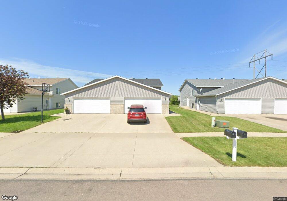
2005 52nd St S Fargo, ND 58103
Willow Park NeighborhoodEstimated Value: $253,000 - $255,000
3
Beds
2
Baths
1,672
Sq Ft
$152/Sq Ft
Est. Value
About This Home
This home is located at 2005 52nd St S, Fargo, ND 58103 and is currently estimated at $254,470, approximately $152 per square foot. 2005 52nd St S is a home located in Cass County with nearby schools including Eastwood Elementary School, Cheney Middle School, and West Fargo High School.
Ownership History
Date
Name
Owned For
Owner Type
Purchase Details
Closed on
Nov 25, 2013
Sold by
Hanson Steven B and Hanson Shannon N
Bought by
Jacobson Jesse L and Jacobson Nytrisha J
Current Estimated Value
Home Financials for this Owner
Home Financials are based on the most recent Mortgage that was taken out on this home.
Original Mortgage
$139,329
Outstanding Balance
$102,726
Interest Rate
3.87%
Mortgage Type
FHA
Estimated Equity
$151,744
Create a Home Valuation Report for This Property
The Home Valuation Report is an in-depth analysis detailing your home's value as well as a comparison with similar homes in the area
Home Values in the Area
Average Home Value in this Area
Purchase History
| Date | Buyer | Sale Price | Title Company |
|---|---|---|---|
| Jacobson Jesse L | $141,900 | None Available |
Source: Public Records
Mortgage History
| Date | Status | Borrower | Loan Amount |
|---|---|---|---|
| Open | Jacobson Jesse L | $139,329 |
Source: Public Records
Tax History
| Year | Tax Paid | Tax Assessment Tax Assessment Total Assessment is a certain percentage of the fair market value that is determined by local assessors to be the total taxable value of land and additions on the property. | Land | Improvement |
|---|---|---|---|---|
| 2024 | $2,541 | $116,000 | $21,100 | $94,900 |
| 2023 | $2,627 | $102,600 | $15,200 | $87,400 |
| 2022 | $2,463 | $91,600 | $15,200 | $76,400 |
| 2021 | $2,395 | $88,100 | $15,200 | $72,900 |
| 2020 | $2,247 | $83,900 | $15,200 | $68,700 |
| 2019 | $2,172 | $81,450 | $8,450 | $73,000 |
| 2018 | $2,086 | $81,450 | $8,450 | $73,000 |
| 2017 | $1,979 | $79,100 | $8,450 | $70,650 |
| 2016 | $1,796 | $76,800 | $8,450 | $68,350 |
| 2015 | $1,704 | $69,550 | $6,350 | $63,200 |
| 2014 | $1,642 | $64,400 | $6,350 | $58,050 |
| 2013 | $1,641 | $64,400 | $6,350 | $58,050 |
Source: Public Records
Map
Nearby Homes
- 1842 52nd St S
- 1884 Huntington Ln
- 1841 13th St E
- 1829 13th St E
- 1618 16th Ave E
- 1424 14th St E Unit 11
- 790 Lakeridge Dr
- 715 Northridge Way
- 1827 7th St E
- 1811 7th St E
- 783 14 1 2 Ave E
- 1723 42nd St S
- 1929 Pentland St
- 1701 42nd St S
- 2900 Calico Dr S Unit C
- 2970 Calico Dr S Unit B
- 714 14th Ave E
- 706 14th Ave E
- 921 Homestead Ct
- 804 51st St S
- 2003 52nd St S
- 2019 52nd St S
- 2019 52nd St SW
- 2005 52nd St SW
- 1995 52nd St S
- 2021 52nd St S
- 2021 52nd St S
- 2003 52nd St SW
- 1995 52nd St SW
- 2043 52nd St S
- 2043 52nd St S
- 1993 52nd St SW
- 1979 52nd St S
- 2045 52nd St S
- 2045 52nd St SW
- 1979 52nd St SW
- 1977 52nd St S
- 2061 52nd St S
- 2061 52nd St SW
- 1977 52nd St SW
Your Personal Tour Guide
Ask me questions while you tour the home.