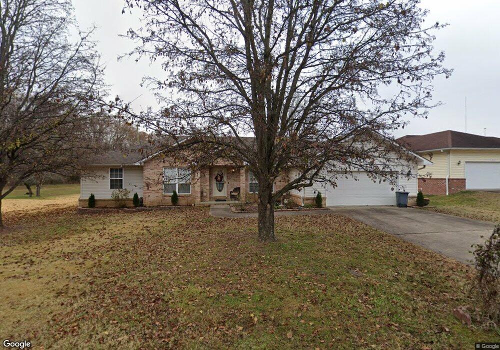
2005 Bryant Ln Poplar Bluff, MO 63901
Estimated Value: $209,762 - $241,000
3
Beds
--
Bath
1,682
Sq Ft
$134/Sq Ft
Est. Value
About This Home
This home is located at 2005 Bryant Ln, Poplar Bluff, MO 63901 and is currently estimated at $226,191, approximately $134 per square foot. 2005 Bryant Ln is a home located in Butler County with nearby schools including O'Neal Elementary School, Poplar Bluff Fifth & Sixth Grade Center, and Poplar Bluff Junior High School.
Ownership History
Date
Name
Owned For
Owner Type
Purchase Details
Closed on
Nov 10, 2011
Sold by
Robertson Linda and Joanne H Gray Revocable Inter
Bought by
Donnelly Donna K
Current Estimated Value
Home Financials for this Owner
Home Financials are based on the most recent Mortgage that was taken out on this home.
Original Mortgage
$40,000
Outstanding Balance
$2,632
Interest Rate
4.08%
Mortgage Type
New Conventional
Estimated Equity
$223,559
Create a Home Valuation Report for This Property
The Home Valuation Report is an in-depth analysis detailing your home's value as well as a comparison with similar homes in the area
Home Values in the Area
Average Home Value in this Area
Purchase History
| Date | Buyer | Sale Price | Title Company |
|---|---|---|---|
| Donnelly Donna K | -- | -- |
Source: Public Records
Mortgage History
| Date | Status | Borrower | Loan Amount |
|---|---|---|---|
| Open | Donnelly Donna K | $40,000 |
Source: Public Records
Tax History
| Year | Tax Paid | Tax Assessment Tax Assessment Total Assessment is a certain percentage of the fair market value that is determined by local assessors to be the total taxable value of land and additions on the property. | Land | Improvement |
|---|---|---|---|---|
| 2025 | $1,485 | $31,470 | $0 | $0 |
| 2024 | $14 | $29,200 | $0 | $0 |
| 2023 | $1,411 | $29,200 | $0 | $0 |
| 2022 | $1,365 | $28,300 | $0 | $0 |
| 2021 | $1,365 | $28,300 | $0 | $0 |
| 2020 | $1,333 | $27,260 | $0 | $0 |
| 2019 | $1,332 | $27,260 | $0 | $0 |
| 2018 | $1,332 | $27,260 | $0 | $0 |
| 2017 | -- | $27,260 | $0 | $0 |
| 2016 | -- | $27,260 | $0 | $0 |
| 2015 | -- | $27,260 | $0 | $0 |
| 2014 | -- | $25,530 | $0 | $0 |
| 2012 | $1,145 | $26,970 | $0 | $0 |
Source: Public Records
Map
Nearby Homes
- 1301 Lurlyn Rd
- 2105 Jackson Rd
- 2001 King Rd
- 1557 Haven Hills Rd
- 2001 Woodhaven Rd
- 737 Price St
- 0 West St
- 00 West St
- 2462 Roxie Rd
- 1715 Big Bend Rd
- 1815 Maud St
- 1915 Old Orchard Rd
- 1604 Big Bend Rd
- 1723 Sunset Dr
- 2305 Lee St
- 2304 Lee St
- 501 N 16th St
- 2601 Forest View St
- 1712 Seifert Dr
- 1824 Seifert Dr
Your Personal Tour Guide
Ask me questions while you tour the home.