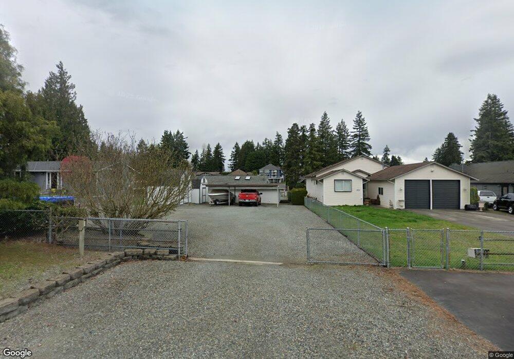
2005 Channel Rd E Lake Tapps, WA 98391
Estimated Value: $858,000 - $989,000
2
Beds
1
Bath
1,080
Sq Ft
$862/Sq Ft
Est. Value
About This Home
This home is located at 2005 Channel Rd E, Lake Tapps, WA 98391 and is currently estimated at $930,671, approximately $861 per square foot. 2005 Channel Rd E is a home located in Pierce County with nearby schools including Dieringer Heights Elementary School, Lake Tapps Elementary School, and North Tapps Middle School.
Ownership History
Date
Name
Owned For
Owner Type
Purchase Details
Closed on
Mar 18, 1998
Sold by
Andrus Corlan W
Bought by
Conard Bruce M and Conard Geri L
Current Estimated Value
Home Financials for this Owner
Home Financials are based on the most recent Mortgage that was taken out on this home.
Original Mortgage
$199,462
Outstanding Balance
$36,489
Interest Rate
7.02%
Mortgage Type
VA
Estimated Equity
$894,182
Create a Home Valuation Report for This Property
The Home Valuation Report is an in-depth analysis detailing your home's value as well as a comparison with similar homes in the area
Home Values in the Area
Average Home Value in this Area
Purchase History
| Date | Buyer | Sale Price | Title Company |
|---|---|---|---|
| Conard Bruce M | $219,813 | Commonwealth Title Co |
Source: Public Records
Mortgage History
| Date | Status | Borrower | Loan Amount |
|---|---|---|---|
| Open | Conard Bruce M | $199,462 |
Source: Public Records
Tax History
| Year | Tax Paid | Tax Assessment Tax Assessment Total Assessment is a certain percentage of the fair market value that is determined by local assessors to be the total taxable value of land and additions on the property. | Land | Improvement |
|---|---|---|---|---|
| 2025 | $8,985 | $902,500 | $629,500 | $273,000 |
| 2024 | $8,985 | $881,000 | $645,200 | $235,800 |
| 2023 | $8,985 | $891,100 | $673,800 | $217,300 |
| 2022 | $7,291 | $817,200 | $621,300 | $195,900 |
| 2021 | $7,611 | $573,600 | $441,900 | $131,700 |
| 2019 | $6,729 | $522,100 | $396,800 | $125,300 |
| 2018 | $7,522 | $520,100 | $396,800 | $123,300 |
| 2017 | $6,448 | $478,600 | $365,500 | $113,100 |
| 2016 | $5,125 | $355,300 | $252,500 | $102,800 |
| 2014 | $4,402 | $318,000 | $228,400 | $89,600 |
| 2013 | $4,402 | $285,200 | $202,000 | $83,200 |
Source: Public Records
Map
Nearby Homes
- 18201 17th St E
- 18107 25th Street Ct E
- 18025 26th Street Ct E
- 17905 28th St E
- 17612 16th Street Ct E
- 17608 16th Street Ct E
- 17521 25th Street Ct E
- 1517 176th Avenue Ct E
- 17510 16th Street Ct E
- 2804 179th Ave E
- 2011 Sumner Tapps Hwy E
- 1827 176th Ave E
- 1828 176th Ave E
- 1024 184th Avenue Ct E
- 2517 173rd Avenue Ct E
- 17112 25th Street Ct E
- 6602 Charlotte Ave SE
- 3118 Deer Island Dr E
- 1510 199th Ave E
- 1 xxx 179th Ave E
- 1925 Channel Rd E
- 2011 Channel Rd E
- 2017 Channel Rd E
- 1919 Channel Rd E
- 1919 Channel Rd E
- 2023 Channel Rd E
- 2006 Channel Rd E
- 2018 Channel Rd E
- 2018 Channel Rd E
- 1926 Channel Rd E
- 1903 Channel Rd E
- 2024 Channel Rd E
- 1920 Channel Rd E
- 2103 Channel Rd E
- 1912 Channel Rd E
- 1821 Channel Rd E
- 1904 Channel Rd E
- 1916 186th Ave E
- 1815 Channel Rd E
Your Personal Tour Guide
Ask me questions while you tour the home.