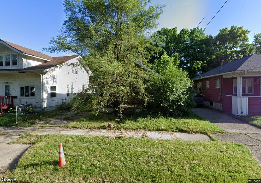
2005 Kansas Ave Flint, MI 48506
Eastside NeighborhoodEstimated Value: $40,000 - $44,000
3
Beds
1
Bath
924
Sq Ft
$45/Sq Ft
Est. Value
About This Home
This home is located at 2005 Kansas Ave, Flint, MI 48506 and is currently estimated at $42,000, approximately $45 per square foot. 2005 Kansas Ave is a home located in Genesee County with nearby schools including Potter School, Flint Cultural Center Academy, and WAY Academy of Flint.
Ownership History
Date
Name
Owned For
Owner Type
Purchase Details
Closed on
Dec 20, 2016
Sold by
Cherry Deborah L
Bought by
Genesee County Land Bank
Current Estimated Value
Purchase Details
Closed on
Mar 12, 2009
Sold by
Headings Ronald
Bought by
Taylor Charlene and Headings Ronald
Purchase Details
Closed on
Aug 21, 2002
Sold by
Miller Russell and Miller Donna M
Bought by
Headings Ronald F
Purchase Details
Closed on
Feb 25, 2002
Sold by
Headings Ronald F and Rioux Raymond
Bought by
Headings Ronald F
Purchase Details
Closed on
Sep 28, 2000
Sold by
Sterling Bank & Trust
Bought by
Rioux Russell and Rioux Irene
Create a Home Valuation Report for This Property
The Home Valuation Report is an in-depth analysis detailing your home's value as well as a comparison with similar homes in the area
Home Values in the Area
Average Home Value in this Area
Purchase History
| Date | Buyer | Sale Price | Title Company |
|---|---|---|---|
| Genesee County Land Bank | -- | None Available | |
| Taylor Charlene | -- | None Available | |
| Headings Ronald F | -- | -- | |
| Headings Ronald F | -- | -- | |
| Rioux Russell | $24,000 | -- |
Source: Public Records
Tax History
| Year | Tax Paid | Tax Assessment Tax Assessment Total Assessment is a certain percentage of the fair market value that is determined by local assessors to be the total taxable value of land and additions on the property. | Land | Improvement |
|---|---|---|---|---|
| 2025 | -- | $0 | $0 | $0 |
| 2024 | -- | $0 | $0 | $0 |
| 2023 | -- | $0 | $0 | $0 |
| 2022 | $0 | $0 | $0 | $0 |
| 2021 | $0 | $0 | $0 | $0 |
| 2020 | $0 | $0 | $0 | $0 |
| 2019 | $557 | $0 | $0 | $0 |
| 2018 | $221 | $0 | $0 | $0 |
| 2017 | $359 | $0 | $0 | $0 |
| 2016 | $557 | $0 | $0 | $0 |
| 2015 | $0 | $0 | $0 | $0 |
| 2014 | -- | $0 | $0 | $0 |
| 2012 | -- | $9,000 | $0 | $0 |
Source: Public Records
Map
Nearby Homes
- 2218 Kentucky Ave
- 2302 Missouri Ave
- 1318 Cronk Ave
- 2301 Missouri Ave
- 1216 Minnesota Ave
- 1501 Arlington Ave
- 301 Chandler St
- 1724 Ohio Ave
- 2605 Nebraska Ave
- 2433 Pennsylvania Ave
- 2610 Pennsylvania Ave
- 151 Commonwealth Ave
- 1609 Ohio Ave
- 434 Chalmers St
- 2428 Illinois Ave
- 605 S Lynch St
- 2601 Illinois Ave
- 1540 Illinois Ave
- 803 Commonwealth Ave
- 638 Maxine St
- 2009 Kansas Ave
- 2001 Kansas Ave
- 2013 Kansas Ave
- 1925 Kansas Ave
- 2004 Nebraska Ave
- 2008 Nebraska Ave
- 2000 Nebraska Ave
- 2017 Kansas Ave
- 1921 Kansas Ave
- 2012 Nebraska Ave
- 1926 Nebraska Ave
- 2021 Kansas Ave
- 2016 Nebraska Ave
- 1917 Kansas Ave
- 1922 Nebraska Ave
- 2004 Kansas Ave
- 2020 Nebraska Ave
- 2101 Kansas Ave
- 2002 Kansas Ave
- 2008 Kansas Ave
Your Personal Tour Guide
Ask me questions while you tour the home.