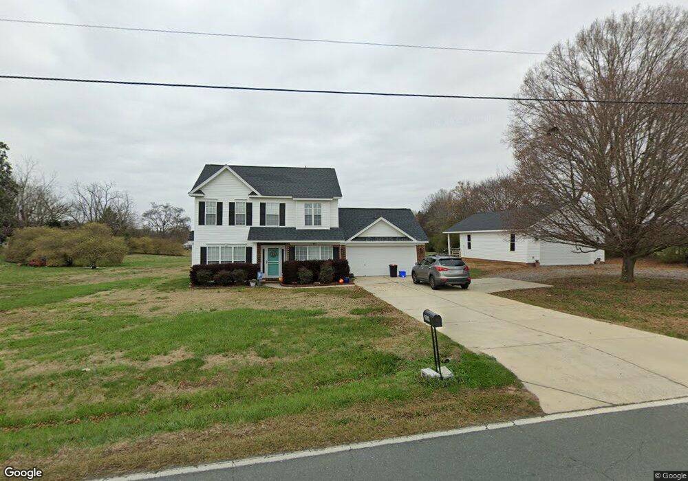
2006 Doster Rd Monroe, NC 28112
Estimated Value: $393,000 - $436,000
4
Beds
3
Baths
1,491
Sq Ft
$278/Sq Ft
Est. Value
About This Home
This home is located at 2006 Doster Rd, Monroe, NC 28112 and is currently estimated at $414,229, approximately $277 per square foot. 2006 Doster Rd is a home located in Union County with nearby schools including Walter Bickett Elementary School, Monroe Middle School, and Monroe High School.
Ownership History
Date
Name
Owned For
Owner Type
Purchase Details
Closed on
Jan 16, 2004
Sold by
Malcolm Enterprises Inc
Bought by
Lewallen Keith M and Lewallen Shannon C
Current Estimated Value
Home Financials for this Owner
Home Financials are based on the most recent Mortgage that was taken out on this home.
Original Mortgage
$95,440
Outstanding Balance
$43,661
Interest Rate
5.81%
Mortgage Type
Purchase Money Mortgage
Estimated Equity
$370,568
Create a Home Valuation Report for This Property
The Home Valuation Report is an in-depth analysis detailing your home's value as well as a comparison with similar homes in the area
Purchase History
| Date | Buyer | Sale Price | Title Company |
|---|---|---|---|
| Lewallen Keith M | $120,000 | -- |
Source: Public Records
Mortgage History
| Date | Status | Borrower | Loan Amount |
|---|---|---|---|
| Open | Lewallen Keith M | $95,440 |
Source: Public Records
Tax History
| Year | Tax Paid | Tax Assessment Tax Assessment Total Assessment is a certain percentage of the fair market value that is determined by local assessors to be the total taxable value of land and additions on the property. | Land | Improvement |
|---|---|---|---|---|
| 2025 | $2,018 | $419,000 | $0 | $0 |
| 2024 | $1,859 | $289,100 | $22,600 | $266,500 |
| 2023 | $1,834 | $289,100 | $22,600 | $266,500 |
| 2022 | $1,834 | $289,100 | $22,600 | $266,500 |
| 2021 | $1,625 | $257,900 | $22,600 | $235,300 |
| 2020 | $1,026 | $133,010 | $15,210 | $117,800 |
| 2019 | $1,046 | $133,010 | $15,210 | $117,800 |
| 2018 | $1,046 | $133,010 | $15,210 | $117,800 |
| 2017 | $1,114 | $133,000 | $15,200 | $117,800 |
| 2016 | $1,078 | $133,010 | $15,210 | $117,800 |
| 2015 | $1,096 | $133,010 | $15,210 | $117,800 |
| 2014 | $944 | $138,620 | $30,300 | $108,320 |
Source: Public Records
Map
Nearby Homes
- 3211 Lancaster Hwy
- 2503 Lancaster Hwy
- 00 Doster Rd
- 0 White Oaks Cir Unit 41-44 CAR4254996
- 3018 Corinth Church Rd
- 2608 Corinth Church Rd
- 0 Avery Parker Rd
- 715 White Oaks Cir
- 2407 Plyler Mill Rd
- 1103 White Oaks Cir
- 0 Lancaster Hwy
- 00 Lancaster Ave
- 1412 Honey Trail
- 1420 Honey Trail
- 1319 Honey Trail
- 1323 Honey Trail
- 1331 Honey Trail
- 1335 Honey Trail
- 1339 Honey Trail
- 1343 Honey Trail
- 2010 Doster Rd
- 1915 Fletcher Broome Rd
- 2014 Fletcher Broome Rd
- 1913 Fletcher Broome Rd
- 1909 Fletcher Broome Rd Unit 7
- 2011 Fletcher Broome Rd
- 2104 Doster Rd
- 1909 Doster Rd
- 1905 Fletcher Broome Rd
- 1912 Doster Rd
- 2108 Doster Rd
- 2107 Doster Rd
- 1901 Fletcher Broome Rd
- 1916 Fletcher Broome Rd
- 1906 Fletcher Broome Rd
- 1912 Fletcher Broome Rd
- 1821 Fletcher Broome Rd
- 2112 Doster Rd
- 1910 Fletcher Broome Rd
- 1902 Fletcher Broome Rd
Your Personal Tour Guide
Ask me questions while you tour the home.