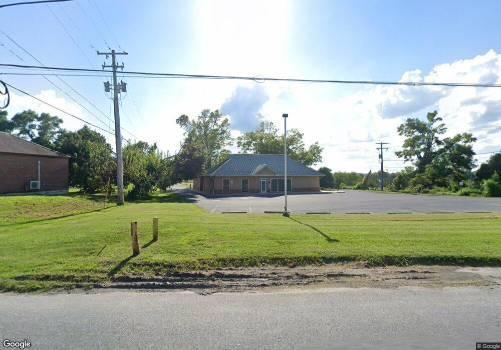
2006 Lancaster Pike Peach Bottom, PA 17563
Fulton NeighborhoodEstimated Value: $460,706
Studio
--
Bath
2,212
Sq Ft
$208/Sq Ft
Est. Value
About This Home
This home is located at 2006 Lancaster Pike, Peach Bottom, PA 17563 and is currently estimated at $460,706, approximately $208 per square foot. 2006 Lancaster Pike is a home located in Lancaster County with nearby schools including Smith Middle School and Solanco High School.
Ownership History
Date
Name
Owned For
Owner Type
Purchase Details
Closed on
Aug 18, 2016
Sold by
Br Pa Properties Lp
Bought by
Kirk Mary E
Current Estimated Value
Purchase Details
Closed on
Dec 30, 2008
Sold by
Nbrs Financial
Bought by
Br Pa Properties Lp
Home Financials for this Owner
Home Financials are based on the most recent Mortgage that was taken out on this home.
Original Mortgage
$450,000
Interest Rate
6.08%
Mortgage Type
Commercial
Purchase Details
Closed on
Jun 30, 2005
Sold by
Susquehanna Bank Pa
Bought by
Nbrs Financial
Create a Home Valuation Report for This Property
The Home Valuation Report is an in-depth analysis detailing your home's value as well as a comparison with similar homes in the area
Home Values in the Area
Average Home Value in this Area
Purchase History
| Date | Buyer | Sale Price | Title Company |
|---|---|---|---|
| Kirk Mary E | $244,900 | Attorney | |
| Br Pa Properties Lp | $600,000 | None Available | |
| Nbrs Financial | $240,000 | -- |
Source: Public Records
Mortgage History
| Date | Status | Borrower | Loan Amount |
|---|---|---|---|
| Previous Owner | Br Pa Properties Lp | $450,000 |
Source: Public Records
Tax History
| Year | Tax Paid | Tax Assessment Tax Assessment Total Assessment is a certain percentage of the fair market value that is determined by local assessors to be the total taxable value of land and additions on the property. | Land | Improvement |
|---|---|---|---|---|
| 2025 | $9,204 | $590,000 | $142,000 | $448,000 |
| 2024 | $9,204 | $590,000 | $142,000 | $448,000 |
| 2023 | $8,926 | $590,000 | $142,000 | $448,000 |
| 2022 | $8,534 | $590,000 | $142,000 | $448,000 |
| 2021 | $8,012 | $590,000 | $142,000 | $448,000 |
| 2020 | $8,012 | $590,000 | $142,000 | $448,000 |
| 2019 | $5,653 | $416,300 | $142,000 | $274,300 |
| 2018 | $1,280 | $416,300 | $142,000 | $274,300 |
| 2017 | $5,560 | $339,100 | $66,000 | $273,100 |
| 2016 | $5,559 | $339,100 | $66,000 | $273,100 |
| 2015 | $1,338 | $339,100 | $66,000 | $273,100 |
| 2014 | $4,003 | $339,100 | $66,000 | $273,100 |
Source: Public Records
Map
Nearby Homes
- 140 Arcadia Trace
- 847 Goshen Mill Rd
- 312 Arcadia Trace
- 1534 Benton Hollow Rd
- 225 Black Rd
- 511 Edgewood Ln
- 408 Circle Ln
- 19 Jubilee Park
- 340 Peach Bottom Rd
- 1019 Spring Valley Rd
- 1125 Slate Hill Rd
- 94 Green Ln
- 397 Jackson Rd
- 2034 Ashville Rd
- 700 King Pen Rd
- 204 Canterbury Ct
- Lot 16 Londonderry Ln
- 0 New Bridge Rd Unit MDCC2014434
- 130 Kirks Mill Rd
- 743 Bell Manor Rd
- 1123 Furniss Rd
- 2236 Robert Fulton Hwy
- 2002 Lancaster Pike
- 1129 Furniss Rd
- 2000 Lancaster Pike
- 2003 Lancaster Pike
- 2001 Lancaster Pike
- 105 Plum Hill Rd
- 2238 Robert Fulton Hwy
- 1998 Lancaster Pike
- 2227 Robert Fulton Hwy
- 2240 Robert Fulton Hwy
- 1133 Furniss Rd
- 1996 Lancaster Pike
- 106 Plum Hill Rd
- 107 Plum Hill Rd
- 1145 Furniss Rd
- 1137 Furniss Rd
- 1994 Lancaster Pike
- 2220 Robert Fulton Hwy
Your Personal Tour Guide
Ask me questions while you tour the home.