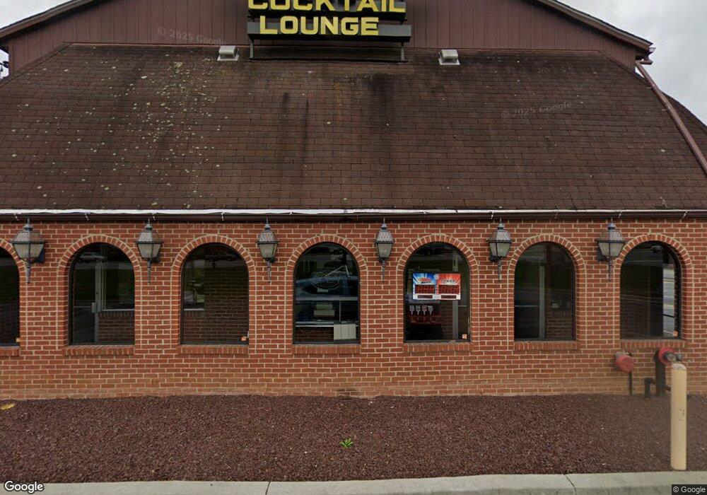
2007 Liberty Rd Eldersburg, MD 21784
Estimated Value: $1,157,742
Studio
--
Bath
5,780
Sq Ft
$200/Sq Ft
Est. Value
About This Home
This home is located at 2007 Liberty Rd, Eldersburg, MD 21784 and is currently estimated at $1,157,742, approximately $200 per square foot. 2007 Liberty Rd is a home located in Carroll County with nearby schools including Carrolltowne Elementary School, Oklahoma Road Middle School, and Liberty High School.
Ownership History
Date
Name
Owned For
Owner Type
Purchase Details
Closed on
Dec 7, 2022
Sold by
Trombetta Carol A
Bought by
Brown And Brown Companies Llc
Current Estimated Value
Home Financials for this Owner
Home Financials are based on the most recent Mortgage that was taken out on this home.
Original Mortgage
$650,000
Outstanding Balance
$630,955
Interest Rate
7.08%
Mortgage Type
Seller Take Back
Estimated Equity
$526,787
Purchase Details
Closed on
Apr 29, 2019
Sold by
Fischer Harry P
Bought by
Trombetta Carol A
Create a Home Valuation Report for This Property
The Home Valuation Report is an in-depth analysis detailing your home's value as well as a comparison with similar homes in the area
Home Values in the Area
Average Home Value in this Area
Purchase History
| Date | Buyer | Sale Price | Title Company |
|---|---|---|---|
| Brown And Brown Companies Llc | $1,000,000 | -- | |
| Trombetta Carol A | -- | None Available |
Source: Public Records
Mortgage History
| Date | Status | Borrower | Loan Amount |
|---|---|---|---|
| Open | Brown And Brown Companies Llc | $650,000 |
Source: Public Records
Tax History
| Year | Tax Paid | Tax Assessment Tax Assessment Total Assessment is a certain percentage of the fair market value that is determined by local assessors to be the total taxable value of land and additions on the property. | Land | Improvement |
|---|---|---|---|---|
| 2025 | $9,200 | $795,600 | $0 | $0 |
| 2024 | $8,165 | $703,200 | $307,000 | $396,200 |
| 2023 | $8,165 | $703,200 | $307,000 | $396,200 |
| 2022 | $7,946 | $703,200 | $307,000 | $396,200 |
| 2021 | $17,515 | $728,700 | $307,000 | $421,700 |
| 2020 | $7,860 | $678,533 | $0 | $0 |
| 2019 | $7,362 | $628,367 | $0 | $0 |
| 2018 | $6,736 | $578,200 | $245,600 | $332,600 |
| 2017 | $6,711 | $575,933 | $0 | $0 |
| 2016 | -- | $573,667 | $0 | $0 |
| 2015 | -- | $571,400 | $0 | $0 |
| 2014 | -- | $571,400 | $0 | $0 |
Source: Public Records
Map
Nearby Homes
- 2013 Rudy Serra Dr Unit 3D
- 2021 Rudy Serra Dr Unit 3B
- 2001 Rudy Serra Dr Unit 1C
- 2001 Rudy Serra Dr Unit 1B
- 2001 Rudy Serra Dr Unit 3C
- 2010 Rudy Serra Dr Unit D
- 2008 Rudy Serra Dr Unit B
- 1821 Cassandra Dr Unit 153
- 1914 Lennox Dr Unit 230
- 1909 Lennox Dr Unit 90
- 6488 Cornwall Dr Unit 17
- 6709 Purple Martin Ct
- 1815 Vincenza Dr Unit G
- 2014 Red River Rd
- 6566 Macbeth Way
- 4012 Rudy Dr
- 4008 Rudy Dr
- 4004 Rudy Dr
- 6508 Ridenour Way E Unit 2A
- 6065 Lancing Dr
- 6505 Monroe Ave
- 6507 Monroe Ave
- 2021 Liberty Rd Unit D
- 2021 Liberty Rd
- 6506 Monroe Ave
- 1945 Liberty Rd
- 6509 Monroe Ave
- 1949 Liberty Rd
- 6508 Monroe Ave
- 6511 Monroe Ave
- 6510 Monroe Ave
- 6505 Marvin Ave
- 2028 Rudy Serra Dr Unit 12D
- 2028 Rudy Serra Dr Unit A
- 2028 Rudy Serra Dr Unit C
- 1948 Liberty Rd
- 6513 Monroe Ave
- 6512 Monroe Ave
- 6507 Marvin Ave
- 2025 Liberty Rd
Your Personal Tour Guide
Ask me questions while you tour the home.