2008 Carnoustie Dr Uniontown, OH 44685
Uniontown AreaEstimated Value: $285,000 - $357,703
About This Home
This home is located at 2008 Carnoustie Dr, Uniontown, OH 44685 and is currently estimated at $304,426, approximately $201 per square foot. 2008 Carnoustie Dr is a home located in Summit County with nearby schools including Greenwood Elementary School, Green Primary School, and Green Intermediate Elementary School.
Ownership History
We collect this data history from publicly available records. To have your information removed, we recommend requesting removal directly through your county’s website.
Purchase Details
Home Financials for this Owner
Home Financials are based on the most recent Mortgage that was taken out on this home.Purchase History
We collect this data history from publicly available records. To have your information removed, we recommend requesting removal directly through your county’s website.
| Date | Buyer | Sale Price | Title Company |
|---|---|---|---|
| $176,500 | Landamerica |
Mortgage History
We collect this data history from publicly available records. To have your information removed, we recommend requesting removal directly through your county’s website.
| Date | Status | Borrower | Loan Amount |
|---|---|---|---|
| Previous Owner | $167,332 | ||
| Previous Owner | $178,762 |
Tax History
We collect this data history from publicly available records. To have your information removed, we recommend requesting removal directly through your county’s website.
| Year | Tax Paid | Tax Assessment Tax Assessment Total Assessment is a certain percentage of the fair market value that is determined by local assessors to be the total taxable value of land and additions on the property. | Land | Improvement |
|---|---|---|---|---|
| 2026 | $6,065 | $100,048 | $21,973 | $78,075 |
| 2025 | $3,868 | $90,475 | $20,335 | $70,140 |
| 2024 | $3,868 | $90,475 | $20,335 | $70,140 |
| 2023 | $3,868 | $90,475 | $20,335 | $70,140 |
| 2022 | $2,825 | $61,762 | $13,836 | $47,926 |
| 2021 | $2,652 | $61,762 | $13,836 | $47,926 |
| 2020 | $2,601 | $61,770 | $13,840 | $47,930 |
| 2019 | $2,602 | $58,460 | $13,840 | $44,620 |
| 2018 | $2,659 | $58,460 | $13,840 | $44,620 |
| 2017 | $2,468 | $58,460 | $13,840 | $44,620 |
| 2016 | $2,456 | $51,980 | $13,840 | $38,140 |
| 2015 | $2,468 | $51,980 | $13,840 | $38,140 |
| 2014 | $2,452 | $51,980 | $13,840 | $38,140 |
| 2013 | $2,484 | $52,250 | $13,840 | $38,410 |
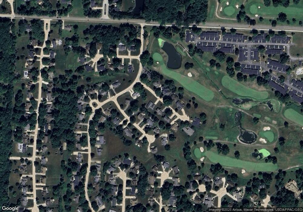
Map
- 2034 Carlile Dr
- 2040 Carlile Dr Unit 95
- 2033 Carlile Dr
- 2059 Carlile Dr
- 3631 Kenwood Dr Unit 73
- 2143 Greenway Dr
- 1743 Raber Rd
- 2251 Graybill Rd
- 3563 Frawood Dr
- 3524 Frawood Dr
- 1938 Fairway Dr
- 2645 Cardington Green
- 3549 Elmhurst Cir
- 2574 Cardington Green
- 3959 Townhouse Ln
- 2510 Williamsburg Dr Unit 68
- 3477 Elmhurst Cir
- 1989 E Turkeyfoot Lake Rd
- 3261 Dewalt Dr
- 1909 E Turkeyfoot Lake Rd Unit 42
- 2018 Carnoustie Dr
- 2009 Carnoustie Dr
- 2019 Carnoustie Dr
- 2028 Carnoustie Dr
- 1999 Carnoustie Dr
- 2023 Dornoch Dr
- 2003 Dornoch Dr
- 3671 Troon Dr
- 2033 Carnoustie Dr
- 2035 Dornoch Dr
- 114 Dornoch Dr
- 0 Dornoch Dr
- 1989 Carnoustie Dr
- 3683 Troon Dr
- 2036 Carnoustie Dr
- 2047 Dornoch Dr
- 2018 Dornoch Dr
- 3676 Troon Dr
- 2034 Dornoch Dr
- 2046 Carnoustie Dr
Ask me questions while you tour the home.