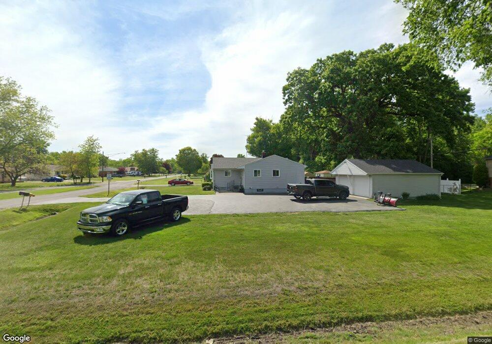
2008 Maplecrest Dr Carleton, MI 48117
Carleton AreaEstimated Value: $221,028 - $260,000
About This Home
This home is located at 2008 Maplecrest Dr, Carleton, MI 48117 and is currently estimated at $241,757, approximately $201 per square foot. 2008 Maplecrest Dr is a home located in Monroe County with nearby schools including Airport Senior High School and Carleton Community Baptist.
Ownership History
We collect this data history from publicly available records. To have your information removed, we recommend requesting removal directly through your county’s website.
Purchase Details
Purchase Details
Home Values in the Area
Average Home Value in this Area
Purchase History
We collect this data history from publicly available records. To have your information removed, we recommend requesting removal directly through your county’s website.
| Date | Buyer | Sale Price | Title Company |
|---|---|---|---|
| $149,900 | -- | ||
| $122,000 | -- |
Tax History
We collect this data history from publicly available records. To have your information removed, we recommend requesting removal directly through your county’s website.
| Year | Tax Paid | Tax Assessment Tax Assessment Total Assessment is a certain percentage of the fair market value that is determined by local assessors to be the total taxable value of land and additions on the property. | Land | Improvement |
|---|---|---|---|---|
| 2025 | $601 | $90,300 | $90,300 | $0 |
| 2024 | $583 | $83,900 | $0 | $0 |
| 2023 | $555 | $62,200 | $0 | $0 |
| 2022 | $1,231 | $62,200 | $0 | $0 |
| 2021 | $1,188 | $68,800 | $0 | $0 |
| 2020 | $1,110 | $57,100 | $0 | $0 |
| 2019 | $1,095 | $57,100 | $0 | $0 |
| 2018 | $1,080 | $51,400 | $0 | $0 |
| 2017 | $1,020 | $51,400 | $0 | $0 |
| 2016 | $998 | $47,500 | $0 | $0 |
| 2015 | $960 | $40,800 | $0 | $0 |
| 2014 | $963 | $40,800 | $0 | $0 |
| 2013 | -- | $41,800 | $0 | $0 |
Map
- 2071 Maplecrest Dr
- 12377 Spencer Ln
- 1460 Monroe St
- 12891 Crane St
- 0 Matthews St Unit 50204506
- 910 Monroe St
- 926 Ford Rd
- 533 Center St
- 401 Center St
- 12660 Grafton Rd
- 0 W Sigler Rd
- 13635 Exeter Rd
- 00 S Stony Creek Rd
- 14178 Kenneth Dr
- 13733 Crooked Creek Ln
- 4165 Fay Rd
- 14104 Carleton West Rd
- 2145 Oakville Waltz Rd
- 0000 Oakville Waltz Rd
- 28503 Margaret Ln Unit 1
- 12511 Maxwell Rd
- 12519 Maxwell Rd
- 2026 Maplecrest Dr
- 12482 Maxwell Rd
- 12581 Maxwell Rd
- 12520 Maxwell Rd
- 2005 Maplecrest Dr
- 1844 Center St
- 2050 Maplecrest Dr
- 2023 Maplecrest Dr
- 12550 Maxwell Rd
- Vacant Maxwell Rd
- 12474 Maxwell Rd
- 1834 Center St
- 1843 Center St
- 12580 Maxwell Rd
- 2039 Maplecrest Dr
- 2072 Maplecrest Dr
- 1824 Center St
- 12600 Maxwell Rd
Ask me questions while you tour the home.