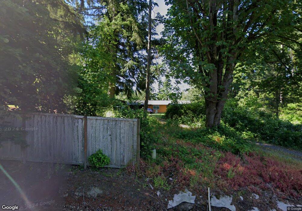
201 Cole Rd Kelso, WA 98626
Kelso AreaEstimated Value: $322,093 - $441,000
About This Home
This home is located at 201 Cole Rd, Kelso, WA 98626 and is currently estimated at $383,773, approximately $399 per square foot. 201 Cole Rd is a home located in Cowlitz County with nearby schools including Barnes Elementary School, Huntington Middle School, and Kelso High School.
Ownership History
We collect this data history from publicly available records. To have your information removed, we recommend requesting removal directly through your county’s website.
Purchase Details
Home Financials for this Owner
Home Financials are based on the most recent Mortgage that was taken out on this home.Purchase History
We collect this data history from publicly available records. To have your information removed, we recommend requesting removal directly through your county’s website.
| Date | Buyer | Sale Price | Title Company |
|---|---|---|---|
| -- | Amrock |
Mortgage History
We collect this data history from publicly available records. To have your information removed, we recommend requesting removal directly through your county’s website.
| Date | Status | Borrower | Loan Amount |
|---|---|---|---|
| Closed | $390,000 | ||
| Closed | $315,000 |
Tax History
We collect this data history from publicly available records. To have your information removed, we recommend requesting removal directly through your county’s website.
| Year | Tax Paid | Tax Assessment Tax Assessment Total Assessment is a certain percentage of the fair market value that is determined by local assessors to be the total taxable value of land and additions on the property. | Land | Improvement |
|---|---|---|---|---|
| 2025 | $487 | $82,244 | $82,244 | |
| 2024 | $487 | $82,244 | $82,244 | |
| 2023 | $2,735 | $273,890 | $64,410 | $209,480 |
| 2022 | $2,261 | $247,810 | $64,520 | $183,290 |
| 2021 | $2,027 | $205,610 | $56,590 | $149,020 |
| 2020 | $1,958 | $170,670 | $52,400 | $118,270 |
| 2019 | $1,790 | $165,903 | $47,636 | $118,267 |
| 2018 | $1,806 | $144,580 | $47,640 | $96,940 |
| 2017 | $1,703 | $132,860 | $44,940 | $87,920 |
| 2016 | $1,676 | $125,660 | $48,060 | $77,600 |
| 2015 | $1,702 | $125,660 | $48,060 | $77,600 |
| 2013 | -- | $116,870 | $43,200 | $73,670 |
Map
- 131 McGeary Rd
- 720 Ostrander Rd
- 155 Rivendell Ln
- 235 Flatt Rd
- 249 Flatt Rd
- 110 Lenora Ln
- 3525 Pleasant Hill Rd
- 0 Lenora Ln Unit 410530450
- 0 Lenora Ln Unit NWM2528886
- 311 Holcomb Spur Rd
- 1965 Westside Hwy Unit 27
- 1965 Westside Hwy Unit 117
- 1965 Westside Hwy Unit 87
- 1965 Westside Hwy Unit 97
- 1965 Westside Hwy Unit 76
- 194 Ball Park Dr
- 106 Monterey Dr
- 0 Grace Ave
- 158 Boardwalk Way
- 141 Vermillion Rd
Ask me questions while you tour the home.