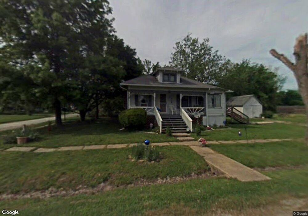
201 E 2nd St Jamesport, MO 64648
Estimated Value: $64,000 - $153,000
2
Beds
2
Baths
1,156
Sq Ft
$96/Sq Ft
Est. Value
About This Home
This home is located at 201 E 2nd St, Jamesport, MO 64648 and is currently estimated at $111,243, approximately $96 per square foot. 201 E 2nd St is a home located in Daviess County with nearby schools including Tri-County Elementary School, Tri-County High School, and Pleasant Hill.
Ownership History
Date
Name
Owned For
Owner Type
Purchase Details
Closed on
Sep 4, 2024
Sold by
J L Eckelberry And Mona J Eckelberry Tru and Duckworth Melody J
Bought by
Huffman Charles Phillip and Huffman Gracelyn Sue
Current Estimated Value
Create a Home Valuation Report for This Property
The Home Valuation Report is an in-depth analysis detailing your home's value as well as a comparison with similar homes in the area
Purchase History
| Date | Buyer | Sale Price | Title Company |
|---|---|---|---|
| Huffman Charles Phillip | -- | Daviess County Land Title | |
| Huffman Charles Phillip | -- | Daviess County Land Title |
Source: Public Records
Tax History
| Year | Tax Paid | Tax Assessment Tax Assessment Total Assessment is a certain percentage of the fair market value that is determined by local assessors to be the total taxable value of land and additions on the property. | Land | Improvement |
|---|---|---|---|---|
| 2025 | $360 | $4,864 | $437 | $4,427 |
| 2024 | $323 | $4,239 | $329 | $3,910 |
| 2023 | $319 | $4,239 | $329 | $3,910 |
| 2022 | $319 | $4,239 | $329 | $3,910 |
| 2021 | $306 | $4,239 | $329 | $3,910 |
| 2020 | $315 | $4,239 | $329 | $3,910 |
| 2019 | $308 | $4,239 | $329 | $3,910 |
| 2018 | $304 | $4,239 | $329 | $3,910 |
| 2017 | $291 | $4,239 | $329 | $3,910 |
| 2016 | -- | $4,239 | $329 | $3,910 |
| 2011 | -- | $4,064 | $0 | $0 |
Source: Public Records
Map
Nearby Homes
- 704 S Broadway N A
- 110 Kentucky
- 105 S Grant St
- 106 E Main St
- 105 E Old Highway 6 N A
- 24353 300th St
- TBD State Road V
- 24001 Nickel Ave
- TBD State Highway V
- 0 Quartz and Elm St Unit HMS2584347
- 0 E Nickel Ave Unit HMS2607013
- 24984 P Hwy
- 0 250th St
- 22681 Missouri 13
- 000 Flint Ave
- 250th St
- State Road B
- 18401 240th St
- 0 SW 52nd Ave
- 0 SW 52nd Ave Unit Lot WP004 24524850
- 405 S Grant St
- 206 E 2nd St
- 107 E 2nd St
- 401 S Grant St
- 402 S Grant St
- 6120 SE Grindstone Rd
- 400 S Grant St
- 103 E 2nd St
- 102 E 1st St
- 605 S Grant St
- 305 S Grant St
- 109 E 1st St
- 409 S Broadway St
- 105 E 1st St
- 403 S Broadway St
- 405 S Broadway St
- 30999 State Highway Nn
- 408 S Broadway St
- 303 S Grant St
- 305 S Broadway St
Your Personal Tour Guide
Ask me questions while you tour the home.