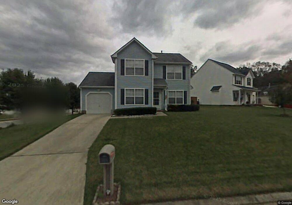
201 Kinnards Ct Suffolk, VA 23434
Chuckatuck NeighborhoodEstimated Value: $337,000 - $351,355
About This Home
This home is located at 201 Kinnards Ct, Suffolk, VA 23434 and is currently estimated at $343,839, approximately $209 per square foot. 201 Kinnards Ct is a home located in Suffolk City with nearby schools including Hillpoint Elementary School, King's Fork Middle School, and King's Fork High School.
Ownership History
We collect this data history from publicly available records. To have your information removed, we recommend requesting removal directly through your county’s website.
Purchase Details
Home Financials for this Owner
Home Financials are based on the most recent Mortgage that was taken out on this home.Home Values in the Area
Average Home Value in this Area
Purchase History
We collect this data history from publicly available records. To have your information removed, we recommend requesting removal directly through your county’s website.
| Date | Buyer | Sale Price | Title Company |
|---|---|---|---|
| $280,000 | Attorney |
Mortgage History
We collect this data history from publicly available records. To have your information removed, we recommend requesting removal directly through your county’s website.
| Date | Status | Borrower | Loan Amount |
|---|---|---|---|
| Open | $280,000 |
Tax History
We collect this data history from publicly available records. To have your information removed, we recommend requesting removal directly through your county’s website.
| Year | Tax Paid | Tax Assessment Tax Assessment Total Assessment is a certain percentage of the fair market value that is determined by local assessors to be the total taxable value of land and additions on the property. | Land | Improvement |
|---|---|---|---|---|
| 2025 | $3,579 | $292,400 | $85,000 | $207,400 |
| 2024 | $3,579 | $299,200 | $85,000 | $214,200 |
| 2023 | $3,594 | $284,000 | $85,000 | $199,000 |
| 2022 | $2,801 | $257,000 | $85,000 | $172,000 |
| 2021 | $2,290 | $206,300 | $63,400 | $142,900 |
| 2020 | $2,233 | $201,200 | $63,400 | $137,800 |
| 2019 | $2,180 | $196,400 | $63,400 | $133,000 |
| 2018 | $2,189 | $191,600 | $63,400 | $128,200 |
| 2017 | $2,050 | $191,600 | $63,400 | $128,200 |
| 2016 | $1,947 | $182,000 | $63,400 | $118,600 |
| 2015 | $1,020 | $185,200 | $63,400 | $121,800 |
| 2014 | $1,020 | $185,200 | $63,400 | $121,800 |
Map
- 108 Chenango Ct
- 102 Elmington Way
- 229 Burnetts Way
- 117 Poplar Grove Crescent
- 2456 Meadow Brook Trail
- 108 Riverwood Trace
- 110 Timberneck Arch
- 231 Fallawater Way
- 107 Misty Ridge Ln
- 113 Ashford Dr
- 123 Mallard Dr
- 104 Brassy St
- 181 Kristen Ln
- 107 Dunbar Dr
- 302 Arbor Bluff Cove
- 311 Wood Duck Ct
- 1415 Emma Ave
- 123 Tournament Ct
- 274 Craftsman Cir
- 208 Archers Dr
- 101 Emerald Ct
- 103 Emerald Ct
- 203 Jonathans Way
- 200 Kinnards Ct
- 102 Ruby Ct
- 100 Emerald Ct
- 201 Jefferis Ct
- 105 Emerald Ct
- 102 Emerald Ct
- 202 Kinnards Ct
- 104 Ruby Ct
- 106 Emerald Ct
- 203 Jefferis Ct
- 104 Emerald Ct
- 209 Jonathans Way
- 101 Ruby Ct
- 203 Kinnards Ct
- 103 Ruby Ct Unit Ct
- 103 Ruby Ct
- 113 Chenango Ct
Ask me questions while you tour the home.