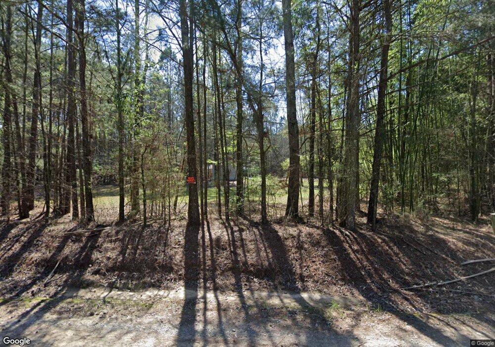
201 Lower Wirebridge Rd Stephens, GA 30667
Estimated Value: $116,000 - $260,000
2
Beds
1
Bath
532
Sq Ft
$298/Sq Ft
Est. Value
About This Home
This home is located at 201 Lower Wirebridge Rd, Stephens, GA 30667 and is currently estimated at $158,457, approximately $297 per square foot. 201 Lower Wirebridge Rd is a home located in Oglethorpe County with nearby schools including Oglethorpe County Primary School, Oglethorpe County Elementary School, and Oglethorpe County Middle School.
Ownership History
Date
Name
Owned For
Owner Type
Purchase Details
Closed on
Jun 26, 2001
Sold by
1St Franklin Financi
Bought by
Cannon Joseph
Current Estimated Value
Purchase Details
Closed on
Mar 28, 2001
Sold by
Lytle Robert T
Bought by
1St Franklin Financi
Purchase Details
Closed on
Nov 3, 1999
Sold by
1St Franklin Financi
Bought by
Lytle Robert T
Purchase Details
Closed on
Jun 17, 1999
Sold by
Melton Jim
Bought by
1St Franklin Financi
Purchase Details
Closed on
Jun 29, 1998
Sold by
1St Franklin Financi
Bought by
Melton Jim
Create a Home Valuation Report for This Property
The Home Valuation Report is an in-depth analysis detailing your home's value as well as a comparison with similar homes in the area
Purchase History
We collect this data history from publicly available records. To have your information removed, we recommend requesting removal directly through your county’s website.
| Date | Buyer | Sale Price | Title Company |
|---|---|---|---|
| Cannon Joseph | $13,000 | -- | |
| 1St Franklin Financi | $12,700 | -- | |
| Lytle Robert T | $12,300 | -- | |
| 1St Franklin Financi | $12,200 | -- | |
| Melton Jim | $9,800 | -- |
Source: Public Records
Tax History
| Year | Tax Paid | Tax Assessment Tax Assessment Total Assessment is a certain percentage of the fair market value that is determined by local assessors to be the total taxable value of land and additions on the property. | Land | Improvement |
|---|---|---|---|---|
| 2025 | $816 | $34,028 | $9,200 | $24,828 |
| 2023 | $687 | $28,840 | $4,520 | $24,320 |
| 2022 | $601 | $23,448 | $4,520 | $18,928 |
| 2021 | $521 | $18,220 | $4,120 | $14,100 |
| 2020 | $397 | $18,220 | $4,120 | $14,100 |
| 2019 | $525 | $18,220 | $4,120 | $14,100 |
| 2018 | $459 | $15,210 | $3,566 | $11,644 |
| 2017 | $459 | $15,210 | $3,566 | $11,644 |
Source: Public Records
Map
Nearby Homes
- 0 Lower Wirebridge Rd
- 181 Lower Wirebridge Rd
- 331 N Main St
- 290 Poplar Creek Rd
- 1774 Union Point Rd
- 0 Lovers Ln Unit 10690740
- 0 Lovers Ln Unit CL349036
- 0 Bull Bray Rd
- 0 Conger Rd Unit 7768975
- 0 Conger Rd Unit 10762409
- 1641 Churchwell Rd
- 1500 Churchwell Rd
- 125 Walker Gresham Rd
- 000 Faust Farm Rd
- 1000 Nichols Rd
- 0 Faust Farm Rd
- 0 Crawfordville Rd Unit 10674081
- 0 Crawfordville Rd Unit CL346865
- 1144 Wolfskin Rd
- 1520 Marshall-Wilkes Rd
- 201 Lower Wire Bridge Rd
- 187 Lower Wire Bridge Rd
- 187 Lower Wirebridge Rd
- 181 Lower Wire Bridge Rd
- 165 Lower Wirebridge Rd
- 225 Lower Wirebridge Rd
- 157 Lower Wirebridge Rd
- 166 Lower Wirebridge Rd
- 97 Wirebridge Cutoff Rd
- 0 Bessie Jackson Rd Unit 20138943
- 600* Bessie Jackson Rd
- 0 Bessie Jackson Rd Unit 20096515
- 0 Bessie Jackson Rd Unit 956419
- 0 Bessie Jackson Rd Unit 20063806
- 0 Bessie Jackson Rd Unit 20022927
- 0 Bessie Jackson Rd Unit 9007592
- 0 Bessie Jackson Rd Unit 8899033
- 0 Stephens Point Unit 8 8253752
- 280 Lower Wirebridge Rd
- 113 Lower Wirebridge Rd
Your Personal Tour Guide
Ask me questions while you tour the home.