201 McDonald Rd Covington, GA 30014
Estimated Value: $337,000 - $452,000
Studio
2
Baths
1,936
Sq Ft
$208/Sq Ft
Est. Value
About This Home
This home is located at 201 McDonald Rd, Covington, GA 30014 and is currently estimated at $402,512, approximately $207 per square foot. 201 McDonald Rd is a home located in Newton County with nearby schools including Mansfield Elementary School, Indian Creek Middle School, and Alcovy High School.
Ownership History
Date
Name
Owned For
Owner Type
Purchase Details
Closed on
Apr 15, 2009
Sold by
Gassmann Andrew and Gassmann Jessica
Bought by
Gassmann Andrew and Gassman Jessica
Current Estimated Value
Home Financials for this Owner
Home Financials are based on the most recent Mortgage that was taken out on this home.
Original Mortgage
$143,000
Outstanding Balance
$89,759
Interest Rate
5.05%
Mortgage Type
New Conventional
Estimated Equity
$312,753
Create a Home Valuation Report for This Property
The Home Valuation Report is an in-depth analysis detailing your home's value as well as a comparison with similar homes in the area
Home Values in the Area
Average Home Value in this Area
Purchase History
We collect this data history from publicly available records. To have your information removed, we recommend requesting removal directly through your county’s website.
| Date | Buyer | Sale Price | Title Company |
|---|---|---|---|
| Gassmann Andrew | -- | -- |
Source: Public Records
Mortgage History
We collect this data history from publicly available records. To have your information removed, we recommend requesting removal directly through your county’s website.
| Date | Status | Borrower | Loan Amount |
|---|---|---|---|
| Open | Gassmann Andrew | $143,000 |
Source: Public Records
Tax History
| Year | Tax Paid | Tax Assessment Tax Assessment Total Assessment is a certain percentage of the fair market value that is determined by local assessors to be the total taxable value of land and additions on the property. | Land | Improvement |
|---|---|---|---|---|
| 2025 | $4,106 | $173,000 | $29,000 | $144,000 |
| 2024 | $3,876 | $156,880 | $25,000 | $131,880 |
| 2023 | $3,883 | $146,960 | $25,000 | $121,960 |
| 2022 | $2,766 | $105,800 | $17,000 | $88,800 |
| 2021 | $2,670 | $91,920 | $15,000 | $76,920 |
| 2020 | $2,568 | $80,320 | $14,000 | $66,320 |
| 2019 | $2,522 | $77,840 | $12,000 | $65,840 |
| 2018 | $2,452 | $75,320 | $12,000 | $63,320 |
| 2017 | $2,276 | $70,200 | $11,600 | $58,600 |
| 2016 | $2,036 | $63,200 | $11,080 | $52,120 |
| 2015 | $2,063 | $64,000 | $11,120 | $52,880 |
| 2014 | $1,815 | $56,880 | $0 | $0 |
Source: Public Records
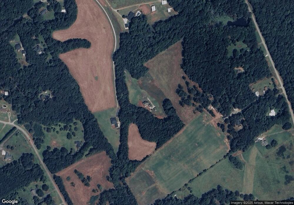
Map
Nearby Homes
- 150 W Pennick Dr
- 686 Newton Factory Bridge Rd
- 0 Newton Factory Bridge Rd Unit 10615368
- 0 Newton Factory Bridge Rd Unit 7657995
- 0 Pickett Bridge Rd Unit 10696400
- 0 Pickett Bridge Rd Unit 7723248
- 0 Pickett Bridge Rd Unit 7723236
- 0 Pickett Bridge Rd Unit 10696395
- 35 Stewart Hollow Ln
- 65 Stewart Hollow Ln
- 90 Scouts Ridge Dr
- 20 Hollow Ct
- 115 Willow Springs Dr
- 160 Stewart Hollow Ln
- 135 Saddle Ln
- 2902 County Line Rd
- 2361 County Line Rd
- 115 Sourwood Dr
- 120 Chimney Ridge Ln
- 1360 Stag Run Dr
- 211 McDonald Rd
- 181 McDonald Rd
- 382 Bates Rd
- 2370 Henderson Mill Rd
- 2556 Henderson Mill Rd
- 2596 Henderson Mill Rd
- 460 Bates Rd
- 273 McDonald Rd
- 2634 Henderson Mill Rd
- 235 McDonald Rd
- 2576 Henderson Mill Rd
- 235A McDonald Rd
- 253 McDonald Rd
- 2630 Henderson Mill Rd
- 2580 Henderson Mill Rd
- 2648 Henderson Mill Rd
- 303 McDonald Rd
- 2668 Henderson Mill Rd
- 2748 Henderson Mill Rd
- 2440 Henderson Mill Rd
Your Personal Tour Guide
Ask me questions while you tour the home.