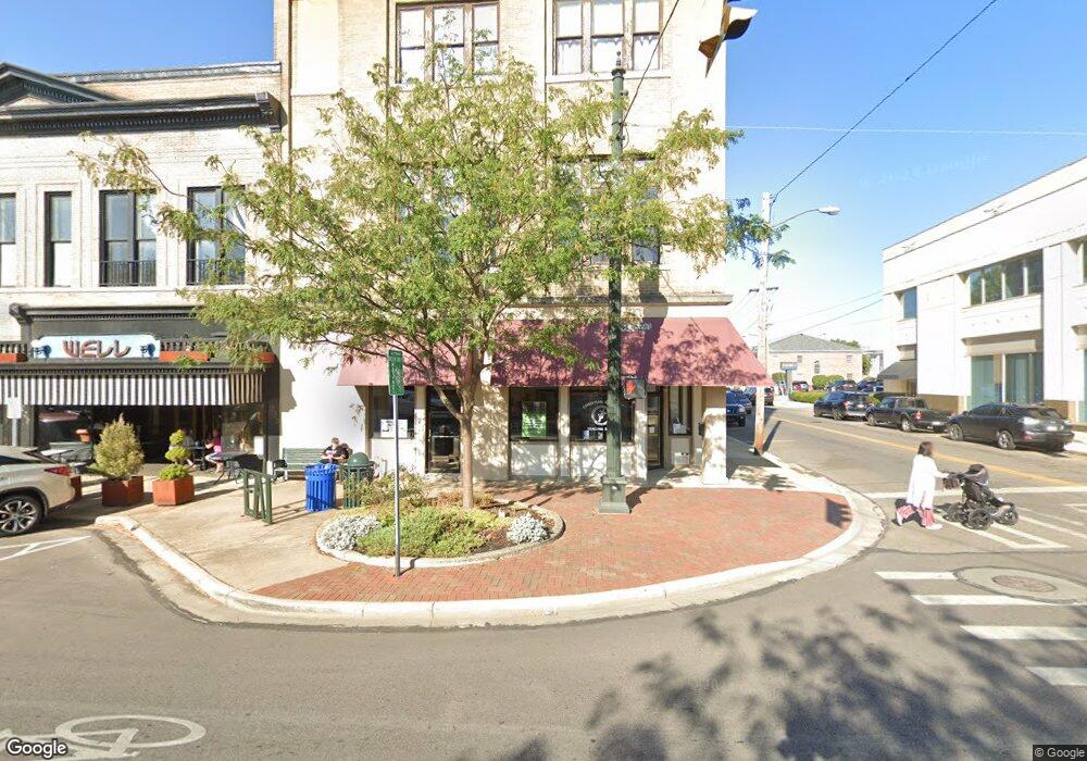
201 S Broad St Lancaster, OH 43130
Estimated Value: $606,556
Studio
--
Bath
202
Sq Ft
$3,003/Sq Ft
Est. Value
About This Home
This home is located at 201 S Broad St, Lancaster, OH 43130 and is currently estimated at $606,556, approximately $3,002 per square foot. 201 S Broad St is a home located in Fairfield County with nearby schools including Thomas Ewing Junior High School, Lancaster High School, and St Mary Elementary School.
Ownership History
Date
Name
Owned For
Owner Type
Purchase Details
Closed on
Sep 8, 2022
Sold by
Wilson Family Trust
Bought by
Equity Trust Company and Leung Chee Kwan
Current Estimated Value
Purchase Details
Closed on
Jun 13, 2019
Sold by
Wilson Properties Llc
Bought by
Wilson Jeffrey A and Wilson Jalinda A
Home Financials for this Owner
Home Financials are based on the most recent Mortgage that was taken out on this home.
Original Mortgage
$615,000
Interest Rate
4%
Mortgage Type
Commercial
Purchase Details
Closed on
Sep 30, 1992
Bought by
Wilson Jeffrey A
Create a Home Valuation Report for This Property
The Home Valuation Report is an in-depth analysis detailing your home's value as well as a comparison with similar homes in the area
Home Values in the Area
Average Home Value in this Area
Purchase History
| Date | Buyer | Sale Price | Title Company |
|---|---|---|---|
| Equity Trust Company | -- | None Listed On Document | |
| Wilson Jeffrey A | -- | Northwest Ttl Fam Of Compani | |
| Wilson Jeffrey A | $65,000 | -- |
Source: Public Records
Mortgage History
| Date | Status | Borrower | Loan Amount |
|---|---|---|---|
| Previous Owner | Wilson Jeffrey A | $615,000 |
Source: Public Records
Tax History
| Year | Tax Paid | Tax Assessment Tax Assessment Total Assessment is a certain percentage of the fair market value that is determined by local assessors to be the total taxable value of land and additions on the property. | Land | Improvement |
|---|---|---|---|---|
| 2025 | $15,339 | $301,870 | $20,070 | $281,800 |
| 2024 | $15,339 | $170,620 | $12,650 | $157,970 |
| 2023 | $9,172 | $170,620 | $12,650 | $157,970 |
| 2022 | $9,225 | $170,620 | $12,650 | $157,970 |
| 2021 | $9,444 | $170,620 | $12,650 | $157,970 |
| 2020 | $9,446 | $170,620 | $12,650 | $157,970 |
| 2019 | $9,094 | $170,620 | $12,650 | $157,970 |
| 2018 | $9,136 | $170,620 | $12,650 | $157,970 |
| 2017 | $9,115 | $175,850 | $12,650 | $163,200 |
| 2016 | $8,831 | $175,850 | $12,650 | $163,200 |
| 2015 | $8,182 | $175,850 | $12,650 | $163,200 |
| 2014 | $7,820 | $175,850 | $12,650 | $163,200 |
| 2013 | $7,820 | $175,850 | $12,650 | $163,200 |
Source: Public Records
Map
Nearby Homes
- 0 N Columbus St
- 154 E Main St
- 143 W Mulberry St
- 246 N Pearl Ave
- 0 Slocum Ave
- 338 E Mulberry St
- 224 King St
- 429 E Locust St
- 233 Lewis Ave
- 430 N High St
- 515 N Columbus St
- 344 Lewis Ave
- 223 Reese Ave
- 537 E Wheeling St
- 626 N Broad St
- 627 N Columbus St
- 216 Witte St
- 301 Witte St
- 628 E Chestnut St
- 811 S Broad St
- 201 S Broad St Unit 517
- 201 S Broad St Unit 515
- 201 S Broad St Unit 514
- 201 S Broad St Unit 513
- 201 S Broad St Unit 512
- 201 S Broad St Unit 511
- 201 S Broad St Unit 510
- 201 S Broad St Unit 509
- 201 S Broad St Unit 508
- 201 S Broad St Unit 507
- 201 S Broad St Unit 506
- 201 S Broad St Unit 503
- 201 S Broad St Unit 501
- 201 S Broad St Unit 315
- 201 S Broad St Unit 312
- 201 S Broad St Unit 110 W Chestnut
- 201 S Broad St Unit 501-503
- 201 S Broad St Unit 200
- 201 S Broad St Unit 310
- 201 S Broad St Unit 400
Your Personal Tour Guide
Ask me questions while you tour the home.