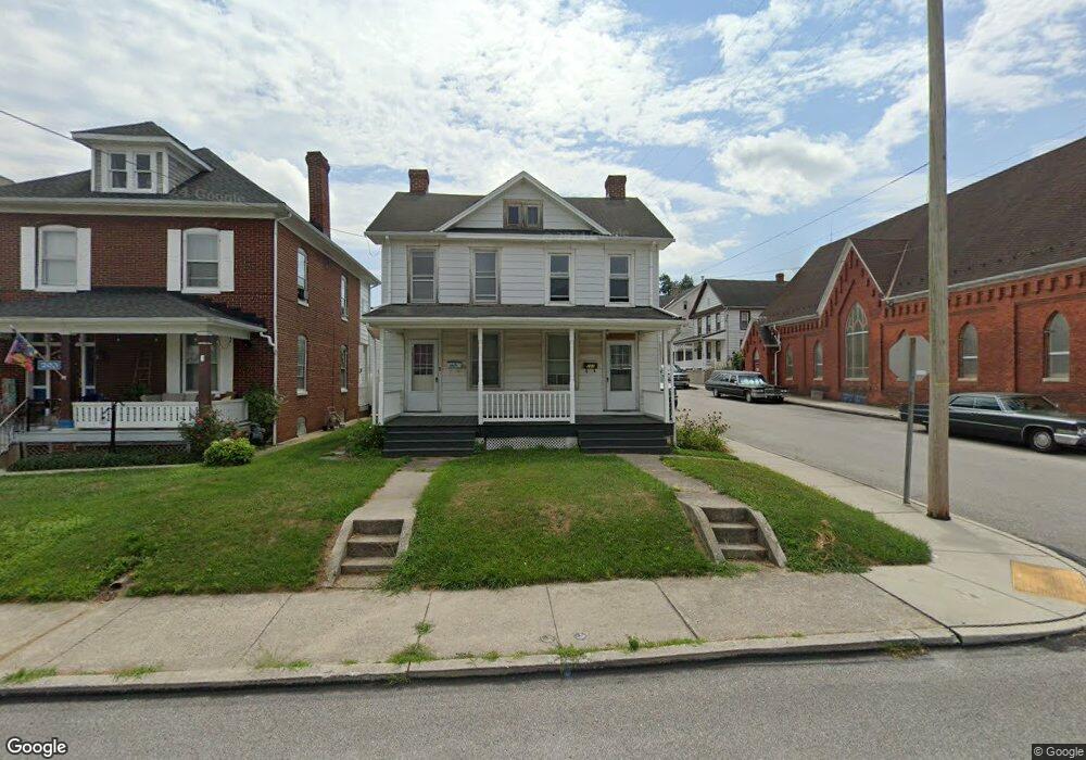
201 Spring Ave Hanover, PA 17331
Hanover Historic District NeighborhoodEstimated Value: $222,000 - $326,000
6
Beds
3
Baths
2,240
Sq Ft
$114/Sq Ft
Est. Value
About This Home
This home is located at 201 Spring Ave, Hanover, PA 17331 and is currently estimated at $255,592, approximately $114 per square foot. 201 Spring Ave is a home located in York County with nearby schools including Hanover Street Elementary School, Hanover Middle School, and Hanover Senior High School.
Ownership History
Date
Name
Owned For
Owner Type
Purchase Details
Closed on
Jul 6, 2000
Sold by
Keffer R Wesley and Keffer Virginia D
Bought by
Strausbaugh Thomas J
Current Estimated Value
Home Financials for this Owner
Home Financials are based on the most recent Mortgage that was taken out on this home.
Original Mortgage
$36,500
Outstanding Balance
$13,357
Interest Rate
8.55%
Mortgage Type
Seller Take Back
Estimated Equity
$242,235
Purchase Details
Closed on
Dec 19, 1983
Bought by
Dixon Mary B
Create a Home Valuation Report for This Property
The Home Valuation Report is an in-depth analysis detailing your home's value as well as a comparison with similar homes in the area
Home Values in the Area
Average Home Value in this Area
Purchase History
| Date | Buyer | Sale Price | Title Company |
|---|---|---|---|
| Strausbaugh Thomas J | $76,500 | -- | |
| Dixon Mary B | -- | -- |
Source: Public Records
Mortgage History
| Date | Status | Borrower | Loan Amount |
|---|---|---|---|
| Open | Strausbaugh Thomas J | $36,500 |
Source: Public Records
Tax History
| Year | Tax Paid | Tax Assessment Tax Assessment Total Assessment is a certain percentage of the fair market value that is determined by local assessors to be the total taxable value of land and additions on the property. | Land | Improvement |
|---|---|---|---|---|
| 2025 | $4,228 | $115,480 | $21,120 | $94,360 |
| 2024 | $4,195 | $115,480 | $21,120 | $94,360 |
| 2023 | $4,163 | $115,480 | $21,120 | $94,360 |
| 2022 | $4,112 | $115,480 | $21,120 | $94,360 |
| 2021 | $3,997 | $115,480 | $21,120 | $94,360 |
| 2020 | $3,997 | $115,480 | $21,120 | $94,360 |
| 2019 | $3,934 | $115,480 | $21,120 | $94,360 |
| 2018 | $3,862 | $115,480 | $21,120 | $94,360 |
| 2017 | $3,789 | $115,480 | $21,120 | $94,360 |
| 2016 | $0 | $115,480 | $21,120 | $94,360 |
| 2015 | -- | $115,480 | $21,120 | $94,360 |
| 2014 | -- | $115,480 | $21,120 | $94,360 |
Source: Public Records
Map
Nearby Homes
- 543 2 Baer Ave
- 552 Locust St
- 538 York St
- 300 Baer Ave
- 146 Pleasant St
- 566 Baer Ave
- 14 Fair Ave
- 621 Spring Ave
- 413 Springbrook Ct Unit D1
- 211 Fulton St
- 321 E Middle St
- 819 8191/2 York St
- 0 Baer Ave
- 522 Charles Ave
- 209 Broadway
- 223 Broadway
- 517 Charles Ave
- 117 Baltimore St
- 415 Broadway
- 119 Baltimore St
- 203 Spring Ave
- 205 Spring Ave
- 207 Spring Ave
- 137 Spring Ave
- 508 Locust St
- 209 Spring Ave
- 135 Spring Ave
- 507 Locust St
- 204 Spring Ave
- 132 Spring Ave
- 206 Spring Ave
- 129 Spring Ave
- 509 Locust St
- 509 Locust St
- 430 Locust St Unit 1ST
- 130 Spring Ave
- 127 Spring Ave
- 511 Locust St
- 511 Locust St
- 514 Locust St
Your Personal Tour Guide
Ask me questions while you tour the home.