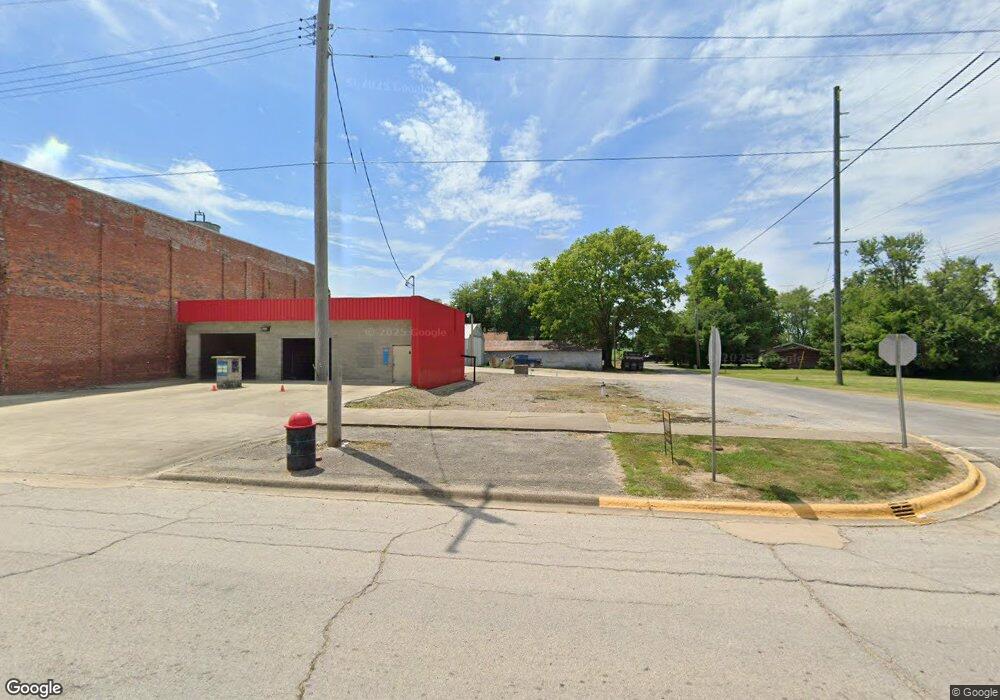
201 W S Sumner, IL 62466
Estimated Value: $37,000 - $114,000
4
Beds
1
Bath
2,200
Sq Ft
$35/Sq Ft
Est. Value
About This Home
This home is located at 201 W S, Sumner, IL 62466 and is currently estimated at $76,929, approximately $34 per square foot. 201 W S is a home located in Lawrence County with nearby schools including Bridgeport Grade School, Sumner Attendance Center, and Red Hill Junior/Senior High School.
Ownership History
Date
Name
Owned For
Owner Type
Purchase Details
Closed on
Dec 13, 2017
Bought by
Sheppard Donald W and Sheppard Sheila M
Current Estimated Value
Create a Home Valuation Report for This Property
The Home Valuation Report is an in-depth analysis detailing your home's value as well as a comparison with similar homes in the area
Home Values in the Area
Average Home Value in this Area
Purchase History
| Date | Buyer | Sale Price | Title Company |
|---|---|---|---|
| Sheppard Donald W | $25,000 | -- |
Source: Public Records
Tax History Compared to Growth
Tax History
| Year | Tax Paid | Tax Assessment Tax Assessment Total Assessment is a certain percentage of the fair market value that is determined by local assessors to be the total taxable value of land and additions on the property. | Land | Improvement |
|---|---|---|---|---|
| 2024 | $696 | $13,124 | $3,331 | $9,793 |
| 2023 | $663 | $11,666 | $2,961 | $8,705 |
| 2022 | $280 | $10,654 | $2,704 | $7,950 |
| 2021 | $241 | $9,775 | $2,481 | $7,294 |
| 2020 | $236 | $9,583 | $2,432 | $7,151 |
| 2019 | $227 | $8,999 | $2,284 | $6,715 |
| 2018 | $227 | $8,999 | $2,284 | $6,715 |
| 2017 | $646 | $8,333 | $2,115 | $6,218 |
| 2016 | $632 | $8,333 | $2,115 | $6,218 |
| 2015 | $613 | $8,333 | $2,115 | $6,218 |
| 2014 | $613 | $8,333 | $2,115 | $6,218 |
| 2013 | $613 | $16,653 | $2,115 | $14,538 |
Source: Public Records
Map
Nearby Homes
- 00 Kings Hill Rd
- 109 N May St Unit LOT A & B OUTLOTS
- 119 W Locust St Unit Lot 4 & Lot 5 Block1
- 613 Dubois St
- 9551 A Crabapple Rd
- 9551 Crabapple Rd
- 3790 State Route 250
- 5272 Red Hills Ln
- 000 Kings Hill Rd
- 0001 Red Hills Ln
- 1 Lewis Rd Unit Tract 4
- 000 600e
- 000 N Frontage Ln
- 000 Tool House Rd
- 00 3rd St
- 1146 N Main St
- 966 Judy Ave
- 1235 Judy Ave
- 000 Petrolia Ln
- 824 Roosevelt Ave
- 161 W South Ave
- 200 W South Ave
- 171 W South Ave
- 166 W South Ave
- 206 W South Ave
- 204 W Locust St
- 211 W South Ave
- 210 W South Ave
- 150 W Railroad St
- 125 W Locust St
- 127 W Locust St
- 144 W Railroad St
- 142 W Railroad St
- 160 W Railroad St
- 115 W Locust St
- 134 W Railroad St
- 300 S May St
- 206 W Locust St
- 109 W Locust St
- 170 W Railroad St
