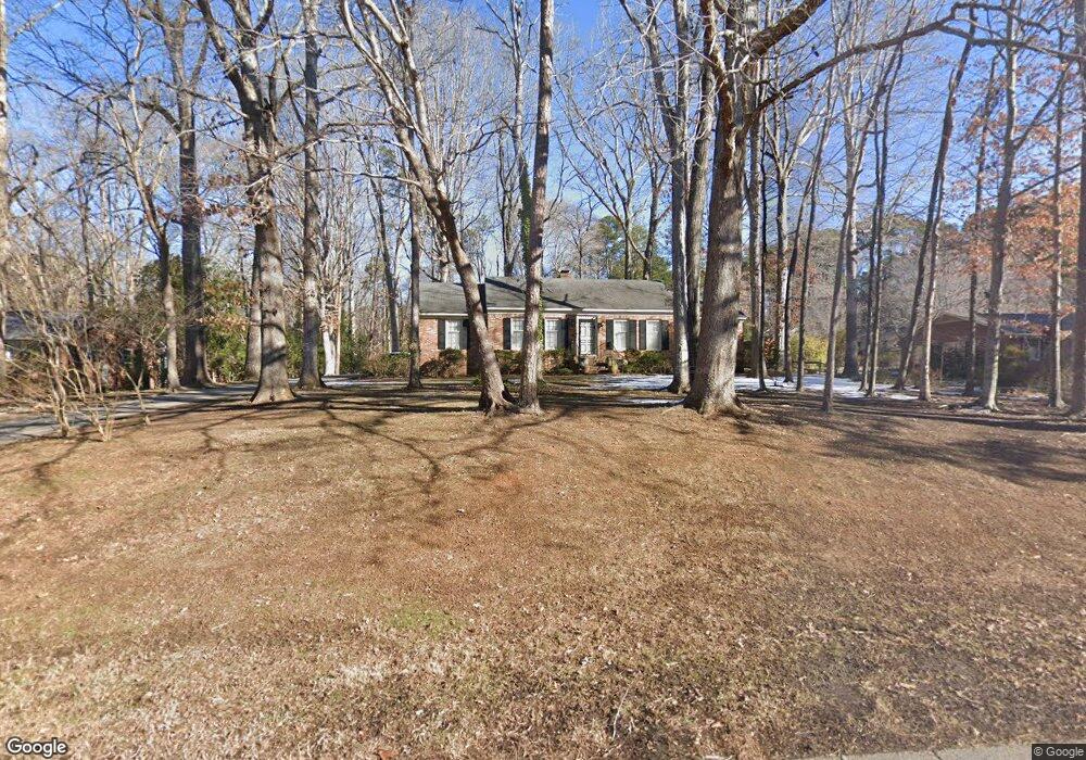
2010 Brookrun Rd Henderson, NC 27536
Henderson AreaEstimated Value: $269,000 - $306,000
About This Home
This home is located at 2010 Brookrun Rd, Henderson, NC 27536 and is currently estimated at $287,108, approximately $156 per square foot. 2010 Brookrun Rd is a home located in Vance County with nearby schools including E.M. Rollins Elementary School, Vance County High School, and Henderson Collegiate Public Charter School.
Ownership History
We collect this data history from publicly available records. To have your information removed, we recommend requesting removal directly through your county’s website.
Purchase Details
Home Financials for this Owner
Home Financials are based on the most recent Mortgage that was taken out on this home.Purchase History
We collect this data history from publicly available records. To have your information removed, we recommend requesting removal directly through your county’s website.
| Date | Buyer | Sale Price | Title Company |
|---|---|---|---|
| $155,000 | None Available |
Mortgage History
We collect this data history from publicly available records. To have your information removed, we recommend requesting removal directly through your county’s website.
| Date | Status | Borrower | Loan Amount |
|---|---|---|---|
| Open | $151,897 |
Tax History
We collect this data history from publicly available records. To have your information removed, we recommend requesting removal directly through your county’s website.
| Year | Tax Paid | Tax Assessment Tax Assessment Total Assessment is a certain percentage of the fair market value that is determined by local assessors to be the total taxable value of land and additions on the property. | Land | Improvement |
|---|---|---|---|---|
| 2025 | $3,003 | $209,600 | $26,000 | $183,600 |
| 2024 | $2,982 | $209,600 | $26,000 | $183,600 |
| 2023 | $2,219 | $128,008 | $24,975 | $103,033 |
| 2022 | $2,171 | $128,008 | $24,975 | $103,033 |
| 2021 | $2,051 | $128,008 | $24,975 | $103,033 |
| 2020 | $2,168 | $128,008 | $24,975 | $103,033 |
| 2019 | $2,163 | $128,008 | $24,975 | $103,033 |
| 2018 | $2,051 | $128,008 | $24,975 | $103,033 |
| 2017 | $2,156 | $128,008 | $24,975 | $103,033 |
| 2016 | $2,156 | $128,008 | $24,975 | $103,033 |
| 2015 | $2,043 | $142,910 | $49,950 | $92,960 |
| 2014 | $2,123 | $142,911 | $49,950 | $92,961 |
Map
- 1634 Crescent Dr
- 122 Watson Dr
- 380 Forest Dr
- 1 Lakeside Dr
- 00 Oxford Rd Southern Ave Rd
- 1602 Peace St
- 1604 Crescent Dr
- 114 Dorsey Place
- 314 Willowood Dr
- 737 Lakeview Dr
- 307 Yowland Rd
- 2064 Oxford Rd
- 1231 David Ave
- 2111 Coleman Place
- 1540 Cypress Dr
- 1209 Anne St
- 206 Beechwood Trail
- 1842 Lynne Ave
- 165 Dorsey Place
- 1249 Oakridge Ave
- 2012 Brookrun Rd
- 2105 N Woodland Rd
- 2015 Brookrun Rd
- 2011 Brookrun Rd
- 2040 Brookrun Rd
- 2007 Brookrun Rd
- 2153 N Woodland Rd
- 2147 N Woodland Rd
- 2106 N Woodland Rd
- 2219 N Woodland Rd
- 2110 N Woodland Rd
- 2005 Brookrun Rd
- 2104 N Woodland Rd
- 2114 N Woodland Rd
- 2100 N Woodland Rd
- 2186 N Woodland Rd
- 2135 N Woodland Rd
- 2221 N Woodland Rd
- 383 Bellwood Dr
- 385 Bellwood Dr
Ask me questions while you tour the home.