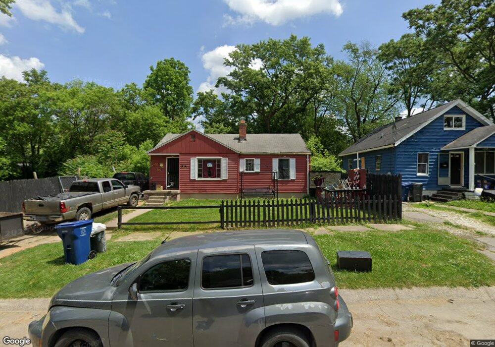
2010 Burns St Flint, MI 48506
Eastside NeighborhoodEstimated Value: $29,000 - $52,000
About This Home
This home is located at 2010 Burns St, Flint, MI 48506 and is currently estimated at $41,106, approximately $45 per square foot. 2010 Burns St is a home located in Genesee County with nearby schools including Potter School, Flint Cultural Center Academy, and Flint Cultural Center Academy High School.
Ownership History
We collect this data history from publicly available records. To have your information removed, we recommend requesting removal directly through your county’s website.
Purchase Details
Purchase Details
Purchase Details
Purchase Details
Purchase Details
Purchase Details
Home Values in the Area
Average Home Value in this Area
Purchase History
We collect this data history from publicly available records. To have your information removed, we recommend requesting removal directly through your county’s website.
| Date | Buyer | Sale Price | Title Company |
|---|---|---|---|
| -- | None Listed On Document | ||
| $5,000 | None Listed On Document | ||
| $5,000 | None Available | ||
| $500 | Cislo Title Co | ||
| -- | None Available | ||
| $34,000 | -- | ||
| -- | Centennial Title & Abstract |
Tax History
We collect this data history from publicly available records. To have your information removed, we recommend requesting removal directly through your county’s website.
| Year | Tax Paid | Tax Assessment Tax Assessment Total Assessment is a certain percentage of the fair market value that is determined by local assessors to be the total taxable value of land and additions on the property. | Land | Improvement |
|---|---|---|---|---|
| 2025 | $714 | $14,700 | $0 | $0 |
| 2024 | $704 | $13,700 | $0 | $0 |
| 2023 | $696 | $12,000 | $0 | $0 |
| 2022 | $0 | $9,700 | $0 | $0 |
| 2021 | $719 | $9,200 | $0 | $0 |
| 2020 | $656 | $8,200 | $0 | $0 |
| 2019 | $656 | $0 | $0 | $0 |
| 2018 | $649 | $6,600 | $0 | $0 |
| 2017 | $957 | $0 | $0 | $0 |
| 2016 | $656 | $0 | $0 | $0 |
| 2015 | -- | $0 | $0 | $0 |
| 2014 | -- | $0 | $0 | $0 |
| 2012 | -- | $8,600 | $0 | $0 |
Map
- 2105 Arlington Ave
- 1714 Levern St
- 1917 Davison Rd
- 2601 Bennett Ave
- 2212 Hoff St
- 2428 Illinois Ave
- 2610 Davison Rd
- 2620 Davison Rd
- 1501 Arlington Ave
- 1805 Bennett Ave
- 2426 Hoff St
- 2506 Arlington Ave
- 2429 Pennsylvania Ave
- 2415 N Dort Hwy
- 2301 Missouri Ave
- 2610 Pennsylvania Ave
- 2429 Delaware Ave
- 2426 Missouri Ave
- 1401 N Dort Hwy
- 1724 Ohio Ave
- 2004 Burns St
- 2022 Burns St
- 2009 N Lynch St
- 1926 Burns St
- 2013 N Lynch St
- 2310 Broadway Blvd
- 2024 Burns St
- 2001 N Lynch St
- 2021 N Lynch St
- 1922 Burns St
- 1929 N Lynch St
- 2009 Burns St
- 2013 Burns St
- 2017 Burns St
- 2005 Burns St
- 1918 Burns St
- 1923 Burns St
- 1914 Burns St
- 2210 Broadway Blvd
- 1915 N Lynch St
Ask me questions while you tour the home.