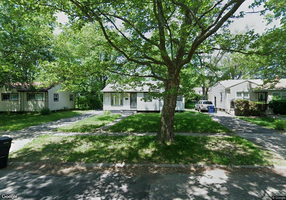
2010 Canniff St Flint, MI 48504
Bel-Aire Woods NeighborhoodEstimated Value: $35,000 - $52,527
3
Beds
1
Bath
878
Sq Ft
$50/Sq Ft
Est. Value
About This Home
This home is located at 2010 Canniff St, Flint, MI 48504 and is currently estimated at $43,882, approximately $49 per square foot. 2010 Canniff St is a home located in Genesee County with nearby schools including Brownell STEM Academy, Eagle's Nest Academy, and Greater Heights Academy.
Ownership History
Date
Name
Owned For
Owner Type
Purchase Details
Closed on
Mar 2, 2015
Sold by
Farris Daniel
Bought by
Lener Sondra Kay
Current Estimated Value
Purchase Details
Closed on
Jun 6, 2012
Sold by
Hamilton Victoria L
Bought by
Farris Drianiel
Purchase Details
Closed on
Jul 1, 2011
Sold by
Hamilton Victoria L
Bought by
Farris Drianiel
Purchase Details
Closed on
Sep 26, 2005
Sold by
Clark Johnathan F
Bought by
Clark Victoria Lynne
Create a Home Valuation Report for This Property
The Home Valuation Report is an in-depth analysis detailing your home's value as well as a comparison with similar homes in the area
Home Values in the Area
Average Home Value in this Area
Purchase History
| Date | Buyer | Sale Price | Title Company |
|---|---|---|---|
| Lener Sondra Kay | -- | Cislo Title Company | |
| Farris Drianiel | $15,000 | None Available | |
| Farris Drianiel | $15,000 | None Available | |
| Clark Victoria Lynne | -- | -- |
Source: Public Records
Mortgage History
| Date | Status | Borrower | Loan Amount |
|---|---|---|---|
| Closed | Farris Drianiel | $0 |
Source: Public Records
Tax History
| Year | Tax Paid | Tax Assessment Tax Assessment Total Assessment is a certain percentage of the fair market value that is determined by local assessors to be the total taxable value of land and additions on the property. | Land | Improvement |
|---|---|---|---|---|
| 2025 | $927 | $14,900 | $0 | $0 |
| 2024 | $863 | $12,400 | $0 | $0 |
| 2023 | $848 | $10,400 | $0 | $0 |
| 2022 | $0 | $8,400 | $0 | $0 |
| 2021 | $862 | $8,600 | $0 | $0 |
| 2020 | $798 | $8,100 | $0 | $0 |
| 2019 | $807 | $8,300 | $0 | $0 |
| 2018 | $937 | $8,800 | $0 | $0 |
| 2017 | $919 | $0 | $0 | $0 |
| 2016 | $807 | $0 | $0 | $0 |
| 2015 | -- | $0 | $0 | $0 |
| 2014 | -- | $0 | $0 | $0 |
| 2012 | -- | $11,400 | $0 | $0 |
Source: Public Records
Map
Nearby Homes
- 2013 Canniff St
- 1909 Cherrylawn Dr
- 2210 Canniff St
- 4539 Trumbull Dr
- 1710 Shamrock Ln
- 5106 Cloverlawn Dr
- 4110 Leerda St
- 4008 Winona St
- 4306 Berger Dr
- 4310 Berger Dr
- 1720 Marlowe Dr
- 5413 Fleming Rd
- 3808 Comstock Ave
- 4013 Sterling St
- 5616 Griggs Dr
- 5620 Marlowe Dr
- 4816 Glenn Ave
- 3710 Kellar Ave
- 3143 Maywood Dr
- 1518 Randy Ct
- 2014 Canniff St
- 2006 Canniff St
- 2002 Canniff St
- 4516 Greenlawn Dr
- 4512 Greenlawn Dr
- 2018 Canniff St
- 4520 Greenlawn Dr
- 4606 Cloverlawn Dr
- 4610 Cloverlawn Dr
- 4524 Greenlawn Dr
- 2009 Canniff St
- 4508 Greenlawn Dr
- 2005 Canniff St
- 4518 Cloverlawn Dr
- 4502 Greenlawn Dr
- 4602 Greenlawn Dr
- 2001 Canniff St
- 1916 Canniff St
- 1921 Canniff St
- 1920 Canniff St
Your Personal Tour Guide
Ask me questions while you tour the home.