2010 E 400 N Mapleton, UT 84664
5
Beds
3
Baths
1,500
Sq Ft
1,370,398
Sq Ft Lot
About This Home
This home is located at 2010 E 400 N, Mapleton, UT 84664. 2010 E 400 N is a home located in Utah County with nearby schools including Mapleton School, Mapleton Junior High School, and Maple Mountain High School.
Ownership History
Date
Name
Owned For
Owner Type
Purchase Details
Closed on
Mar 30, 2021
Sold by
Nemelka Michael and Nemelka Melanie
Bought by
Clegg Canyon Development Corporation
Home Financials for this Owner
Home Financials are based on the most recent Mortgage that was taken out on this home.
Original Mortgage
$3,985,000
Outstanding Balance
$3,586,302
Interest Rate
2.8%
Mortgage Type
Purchase Money Mortgage
Purchase Details
Closed on
Oct 11, 2019
Sold by
M & D Roundy Brothers Llc
Bought by
Nemelka Michael and Nemelka Melanie
Purchase Details
Closed on
Apr 3, 2018
Sold by
M And D Roundy Brothers Llc
Bought by
Mapleton City A Municipal Coproration
Purchase Details
Closed on
Oct 18, 2017
Sold by
M And D Roundy Properties Lc
Bought by
M And D Roundy Brothers Llc
Purchase Details
Closed on
Aug 22, 2000
Sold by
Roundy Family Ltd Partnership
Bought by
M&D Roundy Properties Lc
Create a Home Valuation Report for This Property
The Home Valuation Report is an in-depth analysis detailing your home's value as well as a comparison with similar homes in the area
Home Values in the Area
Average Home Value in this Area
Purchase History
| Date | Buyer | Sale Price | Title Company |
|---|---|---|---|
| Clegg Canyon Development Corporation | -- | Cottonwood Title | |
| Nemelka Michael | -- | United West Title | |
| Mapleton City A Municipal Coproration | -- | None Available | |
| M And D Roundy Brothers Llc | -- | None Available | |
| M&D Roundy Properties Lc | -- | -- |
Source: Public Records
Mortgage History
| Date | Status | Borrower | Loan Amount |
|---|---|---|---|
| Open | Clegg Canyon Development Corporation | $3,985,000 |
Source: Public Records
Tax History
| Year | Tax Paid | Tax Assessment Tax Assessment Total Assessment is a certain percentage of the fair market value that is determined by local assessors to be the total taxable value of land and additions on the property. | Land | Improvement |
|---|---|---|---|---|
| 2020 | $0 | $0 | $0 | $0 |
| 2019 | $0 | $2,213,000 | $1,872,100 | $340,900 |
| 2018 | $3,696 | $2,213,000 | $1,872,100 | $340,900 |
| 2017 | $3,833 | $286,143 | $0 | $0 |
| 2016 | $2,625 | $194,802 | $0 | $0 |
Source: Public Records
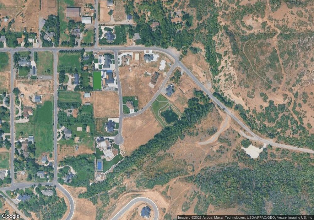
Map
Nearby Homes
- 702 N 2000 E Unit 305
- 630 N 1600 E
- 764 N 2000 E
- 149 S Krissa St Unit 10
- 234 S Krissa St Unit 1
- 266 S Krissa St Unit 2
- 304 S Krissa St Unit 3
- 1515 E Maple St
- 204 S Troy St
- 1564 N 1700 East St
- 575 S 1560 E
- 1377 E Maple St
- 1548 N 1350 St E Unit 11
- 1578 N 1350 St E Unit 12
- 310 N 800 E
- 162 N 800 E
- 1447 N 1350 St E Unit 5
- 1577 N 1350 St E Unit 1
- 1477 N 1350 St E Unit 4
- 1547 N 1350 St E Unit 2
- 375 N Clegg Canyon Dr
- 375 N Clegg Canyon Dr Unit 1
- 2124 E 400 N
- 2138 E 400 N
- 2530 E 400 N Unit 6
- 2530 E 400 N Unit 5
- 321 N Clegg Canyon Dr
- 450 N 2000 E
- 378 N Clegg Canyon Dr
- 2240 E 400 N
- 2200 E 400 N
- 2126 E 400 N
- 346 N Clegg Canyon Dr
- 346 N Clegg Canyon Dr Unit 15
- 320 N 1900 E
- 1903 E 400 N
- 2137 E 400 N
- 2208 E 400 N Unit 17
- 510 N 2000 E
- 510 N 2000 E
Your Personal Tour Guide
Ask me questions while you tour the home.