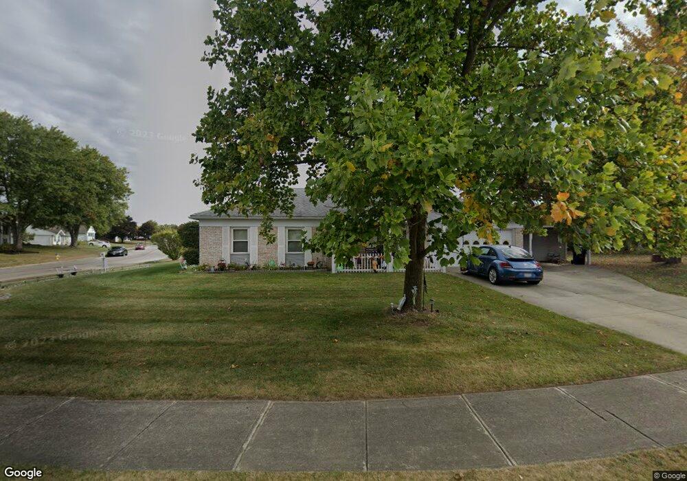
2010 Waltham Ave Springfield, OH 45503
Estimated Value: $216,000 - $245,000
3
Beds
2
Baths
1,501
Sq Ft
$153/Sq Ft
Est. Value
About This Home
This home is located at 2010 Waltham Ave, Springfield, OH 45503 and is currently estimated at $230,211, approximately $153 per square foot. 2010 Waltham Ave is a home located in Clark County with nearby schools including Northridge Elementary School, Kenton Ridge Middle & High School, and Emmanuel Christian Academy.
Ownership History
Date
Name
Owned For
Owner Type
Purchase Details
Closed on
Feb 22, 2000
Sold by
Parker John E and Parker Florence M
Bought by
Lothamer Gerald and Lothamer Vicki
Current Estimated Value
Home Financials for this Owner
Home Financials are based on the most recent Mortgage that was taken out on this home.
Original Mortgage
$70,032
Interest Rate
8.27%
Mortgage Type
Purchase Money Mortgage
Purchase Details
Closed on
Oct 6, 1994
Sold by
Steele Tommy D
Bought by
Parker John E and Parker Florence
Purchase Details
Closed on
Oct 5, 1994
Sold by
Parker John E
Bought by
Hammond Vicki
Create a Home Valuation Report for This Property
The Home Valuation Report is an in-depth analysis detailing your home's value as well as a comparison with similar homes in the area
Home Values in the Area
Average Home Value in this Area
Purchase History
We collect this data history from publicly available records. To have your information removed, we recommend requesting removal directly through your county’s website.
| Date | Buyer | Sale Price | Title Company |
|---|---|---|---|
| Lothamer Gerald | $76,000 | -- | |
| Parker John E | $76,000 | -- | |
| Hammond Vicki | $76,000 | -- |
Source: Public Records
Mortgage History
We collect this data history from publicly available records. To have your information removed, we recommend requesting removal directly through your county’s website.
| Date | Status | Borrower | Loan Amount |
|---|---|---|---|
| Previous Owner | Lothamer Gerald | $70,032 | |
| Closed | Hammond Vicki | $0 |
Source: Public Records
Tax History
| Year | Tax Paid | Tax Assessment Tax Assessment Total Assessment is a certain percentage of the fair market value that is determined by local assessors to be the total taxable value of land and additions on the property. | Land | Improvement |
|---|---|---|---|---|
| 2025 | $1,945 | $71,920 | $9,370 | $62,550 |
| 2024 | $1,905 | $55,660 | $9,600 | $46,060 |
| 2023 | $1,905 | $55,660 | $9,600 | $46,060 |
| 2022 | $1,930 | $55,660 | $9,600 | $46,060 |
| 2021 | $1,596 | $42,040 | $7,440 | $34,600 |
| 2020 | $1,598 | $42,040 | $7,440 | $34,600 |
| 2019 | $1,630 | $42,040 | $7,440 | $34,600 |
| 2018 | $1,488 | $38,130 | $6,200 | $31,930 |
| 2017 | $1,264 | $43,072 | $6,199 | $36,873 |
| 2016 | $1,255 | $43,072 | $6,199 | $36,873 |
| 2015 | $1,263 | $43,072 | $6,199 | $36,873 |
| 2014 | $1,262 | $43,072 | $6,199 | $36,873 |
| 2013 | $1,260 | $43,072 | $6,199 | $36,873 |
Source: Public Records
Map
Nearby Homes
- 2627 Marinette Dr
- 2529 Marinette Dr
- 2761 Middle Urbana Rd
- 3138 Glouster St
- 3223 Nantucket St
- 2943 Tarryton Ln
- 2014 Westboro Ave
- 2022 Westboro Ave
- 2865 Dawn Ln
- 1404 Attleboro Ave
- 1922 Wedgewood Cir
- 1404 Providence Ave
- 2442 Greystone Ln
- 2439 Greystone Ln
- 1039 Bradford Dr Unit 42
- 1628 Yorkshire Ct
- 1031 Armsgate Rd Unit 11
- 1323 Greystone Dr
- 1315 Greystone Dr
- 2332 Villa Rd
- 2014 Waltham Ave
- 2016 Waltham Ave
- 2912 Vineyard St
- 2922 Vineyard St
- 2018 Waltham Ave
- 2017 Waltham Ave
- 2015 Waltham Ave
- 2019 Waltham Ave
- 2932 Vineyard St
- 2020 Waltham Ave
- 2013 Waltham Ave
- 2011 Waltham Ave
- 2023 Providence Ave
- 2021 Waltham Ave
- 2901 Vineyard St
- 2923 Vineyard St
- 2942 Vineyard St
- 2022 Waltham Ave
- 2933 Vineyard St
- 2025 Providence Ave
Your Personal Tour Guide
Ask me questions while you tour the home.