2011 Auburndale Ave West Bloomfield, MI 48324
West Bloomfield Township NeighborhoodEstimated Value: $594,000 - $771,000
4
Beds
4
Baths
2,118
Sq Ft
$322/Sq Ft
Est. Value
About This Home
This home is located at 2011 Auburndale Ave, West Bloomfield, MI 48324 and is currently estimated at $682,003, approximately $322 per square foot. 2011 Auburndale Ave is a home located in Oakland County with nearby schools including Our Lady Of Refuge School and St Mary's Preparatory School.
Ownership History
Date
Name
Owned For
Owner Type
Purchase Details
Closed on
Aug 22, 2023
Sold by
Schell Patrick
Bought by
Schell Patrick and Schell Erin
Current Estimated Value
Purchase Details
Closed on
Sep 29, 1995
Sold by
Griggs Bruce William
Bought by
Schell Patrick
Home Financials for this Owner
Home Financials are based on the most recent Mortgage that was taken out on this home.
Original Mortgage
$109,600
Interest Rate
7.61%
Create a Home Valuation Report for This Property
The Home Valuation Report is an in-depth analysis detailing your home's value as well as a comparison with similar homes in the area
Home Values in the Area
Average Home Value in this Area
Purchase History
We collect this data history from publicly available records. To have your information removed, we recommend requesting removal directly through your county’s website.
| Date | Buyer | Sale Price | Title Company |
|---|---|---|---|
| Schell Patrick | -- | None Listed On Document | |
| Schell Patrick | -- | None Listed On Document | |
| Schell Patrick | $137,000 | -- |
Source: Public Records
Mortgage History
We collect this data history from publicly available records. To have your information removed, we recommend requesting removal directly through your county’s website.
| Date | Status | Borrower | Loan Amount |
|---|---|---|---|
| Previous Owner | Schell Patrick | $109,600 |
Source: Public Records
Tax History
| Year | Tax Paid | Tax Assessment Tax Assessment Total Assessment is a certain percentage of the fair market value that is determined by local assessors to be the total taxable value of land and additions on the property. | Land | Improvement |
|---|---|---|---|---|
| 2025 | $3,870 | $374,470 | $59,210 | $315,260 |
| 2024 | $3,782 | $372,000 | $0 | $0 |
| 2022 | $3,621 | $312,230 | $44,860 | $267,370 |
| 2021 | $5,526 | $283,990 | $0 | $0 |
| 2020 | $3,548 | $272,050 | $44,860 | $227,190 |
| 2018 | $5,331 | $214,310 | $44,860 | $169,450 |
| 2015 | -- | $155,680 | $0 | $0 |
| 2014 | -- | $134,500 | $0 | $0 |
| 2011 | -- | $133,980 | $0 | $0 |
Source: Public Records
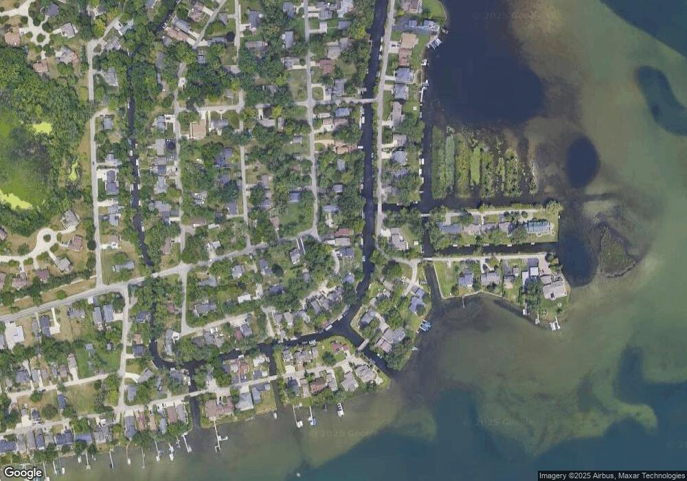
Map
Nearby Homes
- 000 Clinton Dr Dr
- 2115 Aldwin Dr
- 1853 Midchester Dr
- 4740 Dow Ridge Rd
- 4785 Dow Ridge Rd
- 4098 Parkway
- 1797 Poppleton Dr
- 4024 Wenonah Ln
- 2780 Orchard Place
- 2110 Peachtree Ct
- 1405 Denver Ave
- 00000 Muskingum
- 4275 Forest Valley Ct
- 3102 Rose Ln
- 4326 Commerce Rd
- 5920 Greer Rd
- 2745 Lari Ct
- 1004 Pelham Blvd
- 2501 Doleman Dr
- 5094 Coshocton Dr
- 2021 Auburndale Ave
- 2005 Auburndale Ave
- 1985 Auburndale Ave
- 2031 Mapleview Ave
- 4610 Linwood St
- 1981 Auburndale Ave
- 4585 Windside Dr
- 4725 Greer Rd
- 4690 Mapleview Ave
- 1965 Auburndale Ave Unit Bldg-Unit
- 1965 Auburndale Ave
- 4675 Mapleview Ave
- 0000 Greer Rd
- 4620 Linwood St
- 4685 Mapleview Ave
- 1951 Auburndale Ave
- 4730 Greer Rd
- 1971 Windside Dr
- 4630 Linwood St
- 1976 Auburndale Ave
Your Personal Tour Guide
Ask me questions while you tour the home.