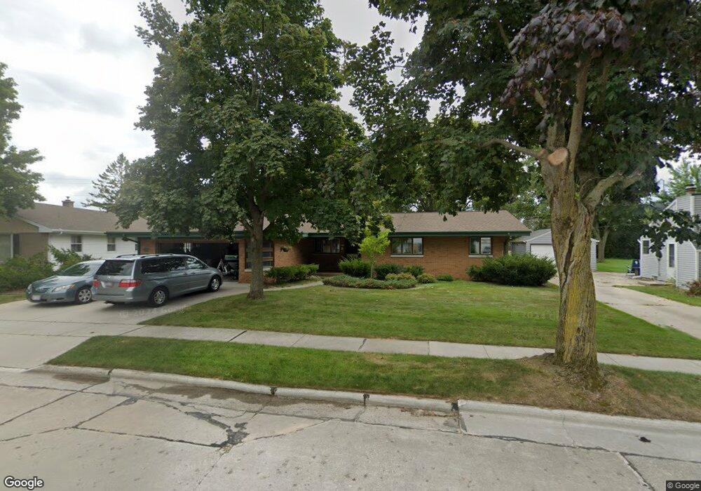
2011 Markham St Manitowoc, WI 54220
Estimated Value: $286,000 - $339,000
3
Beds
2
Baths
2,105
Sq Ft
$151/Sq Ft
Est. Value
About This Home
This home is located at 2011 Markham St, Manitowoc, WI 54220 and is currently estimated at $317,749, approximately $150 per square foot. 2011 Markham St is a home located in Manitowoc County with nearby schools including Jackson Elementary School, Wilson Middle School, and Lincoln High School.
Ownership History
Date
Name
Owned For
Owner Type
Purchase Details
Closed on
Aug 7, 2007
Sold by
Hoge Steven P and Hoge Lois M
Bought by
Thompson Richard L and Thompson Gretchen L
Current Estimated Value
Home Financials for this Owner
Home Financials are based on the most recent Mortgage that was taken out on this home.
Original Mortgage
$25,000
Outstanding Balance
$15,934
Interest Rate
6.79%
Mortgage Type
Credit Line Revolving
Estimated Equity
$301,815
Create a Home Valuation Report for This Property
The Home Valuation Report is an in-depth analysis detailing your home's value as well as a comparison with similar homes in the area
Home Values in the Area
Average Home Value in this Area
Purchase History
| Date | Buyer | Sale Price | Title Company |
|---|---|---|---|
| Thompson Richard L | $207,700 | None Available |
Source: Public Records
Mortgage History
| Date | Status | Borrower | Loan Amount |
|---|---|---|---|
| Open | Thompson Richard L | $25,000 | |
| Open | Thompson Richard L | $164,000 |
Source: Public Records
Tax History
| Year | Tax Paid | Tax Assessment Tax Assessment Total Assessment is a certain percentage of the fair market value that is determined by local assessors to be the total taxable value of land and additions on the property. | Land | Improvement |
|---|---|---|---|---|
| 2024 | $4,383 | $261,600 | $25,600 | $236,000 |
| 2023 | $4,037 | $261,600 | $25,600 | $236,000 |
| 2022 | $3,518 | $191,400 | $25,600 | $165,800 |
| 2021 | $3,537 | $191,400 | $25,600 | $165,800 |
| 2020 | $3,154 | $157,100 | $25,600 | $131,500 |
| 2019 | $3,112 | $157,100 | $25,600 | $131,500 |
| 2018 | $3,058 | $157,100 | $25,600 | $131,500 |
| 2017 | $3,018 | $157,100 | $25,600 | $131,500 |
| 2016 | $3,131 | $157,100 | $25,600 | $131,500 |
| 2015 | $3,219 | $157,100 | $25,600 | $131,500 |
| 2014 | -- | $157,100 | $25,600 | $131,500 |
| 2013 | $3,174 | $157,100 | $25,600 | $131,500 |
Source: Public Records
Map
Nearby Homes
- 1216 Arlington Ave
- 2224 Markham St
- Lot 2 N 18th St
- 1820 Rankin St
- 1433 N 23rd St
- 1522 Menasha Ave
- 1616 Ahrens St
- 1619 Orchard Dr
- 1920 Ravenswood Ln
- 1922 Ravenswood Ln
- 1926 Ravenswood Ln
- 1928 Ravenswood Ln
- 1934 Ravenswood Ln
- 1936 Ravenswood Ln
- 1316 N 8th St
- 1127 Tanglewood Rd
- 924 N 8th St
- Lt1 Union Place
- Lt2 Riverview Dr
- Lt4 Riverview Dr
- 2007 Markham St
- 2021 Markham St
- 2006 Fairmont St
- 2025 Markham St
- 2005 Markham St
- 2010 Fairmont St
- 2027 Markham St
- 2010 Markham St
- 2020 Markham St
- 2020 Fairmont St
- 1204 Arlington Ave
- 2001 Markham St
- 2031 Markham St
- 2024 Markham St
- 1206 Arlington Ave
- 1211 N 21st St
- 1208 Arlington Ave
- 2009 Rheaume Rd
- 1207 N 21st St
- 2028 Markham St
Your Personal Tour Guide
Ask me questions while you tour the home.