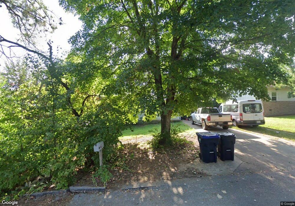
2011 Mcelroy Dr Harrison, AR 72601
Estimated Value: $131,317 - $164,000
2
Beds
1
Bath
1,136
Sq Ft
$126/Sq Ft
Est. Value
About This Home
This home is located at 2011 Mcelroy Dr, Harrison, AR 72601 and is currently estimated at $142,579, approximately $125 per square foot. 2011 Mcelroy Dr is a home located in Boone County with nearby schools including Skyline Heights Elementary School, Harrison Jr. High School, and Harrison High School.
Ownership History
Date
Name
Owned For
Owner Type
Purchase Details
Closed on
Dec 30, 2005
Sold by
Henderson Sharon K and Wise John
Bought by
Carter Chris E and Carter Heather K
Current Estimated Value
Home Financials for this Owner
Home Financials are based on the most recent Mortgage that was taken out on this home.
Original Mortgage
$67,500
Outstanding Balance
$37,789
Interest Rate
6.3%
Mortgage Type
New Conventional
Estimated Equity
$104,790
Purchase Details
Closed on
May 26, 2005
Sold by
Hilburn John W and Hilburn Bonnie L
Bought by
Henderson Sharon K
Home Financials for this Owner
Home Financials are based on the most recent Mortgage that was taken out on this home.
Original Mortgage
$57,900
Interest Rate
5.87%
Mortgage Type
New Conventional
Create a Home Valuation Report for This Property
The Home Valuation Report is an in-depth analysis detailing your home's value as well as a comparison with similar homes in the area
Purchase History
| Date | Buyer | Sale Price | Title Company |
|---|---|---|---|
| Carter Chris E | $61,666 | None Available | |
| Henderson Sharon K | $58,000 | None Available |
Source: Public Records
Mortgage History
| Date | Status | Borrower | Loan Amount |
|---|---|---|---|
| Open | Carter Chris E | $67,500 | |
| Previous Owner | Henderson Sharon K | $57,900 |
Source: Public Records
Tax History
| Year | Tax Paid | Tax Assessment Tax Assessment Total Assessment is a certain percentage of the fair market value that is determined by local assessors to be the total taxable value of land and additions on the property. | Land | Improvement |
|---|---|---|---|---|
| 2025 | $727 | $14,260 | $2,000 | $12,260 |
| 2024 | $727 | $14,260 | $2,000 | $12,260 |
| 2023 | $708 | $14,260 | $2,000 | $12,260 |
| 2022 | $302 | $14,260 | $2,000 | $12,260 |
| 2021 | $272 | $14,260 | $2,000 | $12,260 |
| 2020 | $241 | $12,080 | $2,000 | $10,080 |
| 2019 | $259 | $12,080 | $2,000 | $10,080 |
| 2018 | $284 | $12,080 | $2,000 | $10,080 |
| 2017 | $616 | $12,080 | $2,000 | $10,080 |
| 2016 | $266 | $12,080 | $2,000 | $10,080 |
| 2015 | $691 | $13,550 | $2,000 | $11,550 |
| 2014 | $341 | $13,550 | $2,000 | $11,550 |
Source: Public Records
Map
Nearby Homes
- 3607 W Overland Cir
- 0 Gipson Rd
- 602 Oriole Dr
- 1800 Airport Rd
- 203 Glenview St
- 26 Ozark Dr
- Lot 3 Cornerstone Way
- Lot 1 Cornerstone Way
- Lot 4 Cornerstone Way
- Lot 2 Cornerstone Way
- 307 Prestonwood St
- 107 Nancy St
- 0 Corner of Airport Rd & Hwy 65n Unit 146774
- Lot 1 Rains Rd S
- Lot 2 Rains Rd S
- 0 W Hwy 43 Unit 1298701
- 1 Meadow Lark Ln
- 1 Skyline Cove
- 0 Arkansas 397
- 35 Hawthorne Dr
- 2009 Mcelroy Dr
- 2013 Mcelroy Dr
- 2007 Mcelroy Dr
- 2015 Mcelroy Dr
- 2012 Cedar Ridge Rd
- 2012 Mcelroy Dr
- 2010 Cedar Ridge Rd
- 2010 Mcelroy Dr
- 2016 Mcelroy Dr
- 2014 Mcelroy Dr
- 2008 Cedar Ridge Rd
- 2016 Cedar Ridge Rd
- 2008 Mcelroy Dr
- 2005 Mcelroy Dr
- 2006 Cedar Ridge Rd
- 2006 Mcelroy Dr
- 2003 Mcelroy Dr
- 2011 Cedar Ridge Rd
- 2013 Cedar Ridge Rd
- 2004 Cedar Ridge Rd
Your Personal Tour Guide
Ask me questions while you tour the home.