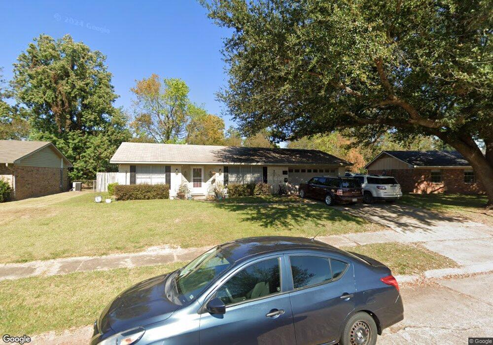
2011 Pluto Dr Bossier City, LA 71112
South Bossier NeighborhoodEstimated Value: $196,000 - $236,000
About This Home
This home is located at 2011 Pluto Dr, Bossier City, LA 71112 and is currently estimated at $216,623, approximately $91 per square foot. 2011 Pluto Dr is a home located in Bossier Parish with nearby schools including Sun City Elementary School, Curtis Elementary School, and Elm Grove Middle School.
Ownership History
We collect this data history from publicly available records. To have your information removed, we recommend requesting removal directly through your county’s website.
Purchase Details
Home Financials for this Owner
Home Financials are based on the most recent Mortgage that was taken out on this home.Home Values in the Area
Average Home Value in this Area
Purchase History
We collect this data history from publicly available records. To have your information removed, we recommend requesting removal directly through your county’s website.
| Date | Buyer | Sale Price | Title Company |
|---|---|---|---|
| -- | None Available |
Mortgage History
We collect this data history from publicly available records. To have your information removed, we recommend requesting removal directly through your county’s website.
| Date | Status | Borrower | Loan Amount |
|---|---|---|---|
| Open | $135,600 | ||
| Closed | $143,010 | ||
| Previous Owner | $153,737 |
Tax History
We collect this data history from publicly available records. To have your information removed, we recommend requesting removal directly through your county’s website.
| Year | Tax Paid | Tax Assessment Tax Assessment Total Assessment is a certain percentage of the fair market value that is determined by local assessors to be the total taxable value of land and additions on the property. | Land | Improvement |
|---|---|---|---|---|
| 2025 | $1,293 | $16,921 | $2,450 | $14,471 |
| 2024 | $1,305 | $16,921 | $2,450 | $14,471 |
| 2023 | $1,256 | $15,841 | $2,300 | $13,541 |
| 2022 | $894 | $15,841 | $2,300 | $13,541 |
| 2021 | $358 | $15,841 | $2,300 | $13,541 |
| 2020 | $893 | $15,841 | $2,300 | $13,541 |
| 2019 | $951 | $16,250 | $2,000 | $14,250 |
| 2018 | $951 | $16,250 | $2,000 | $14,250 |
| 2017 | $1,310 | $16,250 | $2,000 | $14,250 |
| 2016 | $1,310 | $16,250 | $2,000 | $14,250 |
| 2015 | $381 | $16,730 | $2,000 | $14,730 |
| 2014 | $381 | $16,730 | $2,000 | $14,730 |
Map
- 1915 Saturn St
- 1920 Venus Dr
- 238 Avondale Ln
- 4217 Logan St
- 4221 Evelyn St
- 310 Cotton Pointe
- 425 Jordan Dr
- 340 Avondale Ln
- 1810 Pluto Dr
- 2017 Wild Iris
- 311 Columbia Cir
- 1905 Miles St
- 110 Savannah Place
- 510 Columbia Cir
- 5304 Carnation St
- 5421 Daffodil Ave
- 598 Whitefield Ln
- 1919 Camille St
- 1206 Violet Ave
- 2004 Christine Ave
Ask me questions while you tour the home.