2012 Brockie Ave Heyburn, ID 83336
Estimated Value: $273,000 - $303,000
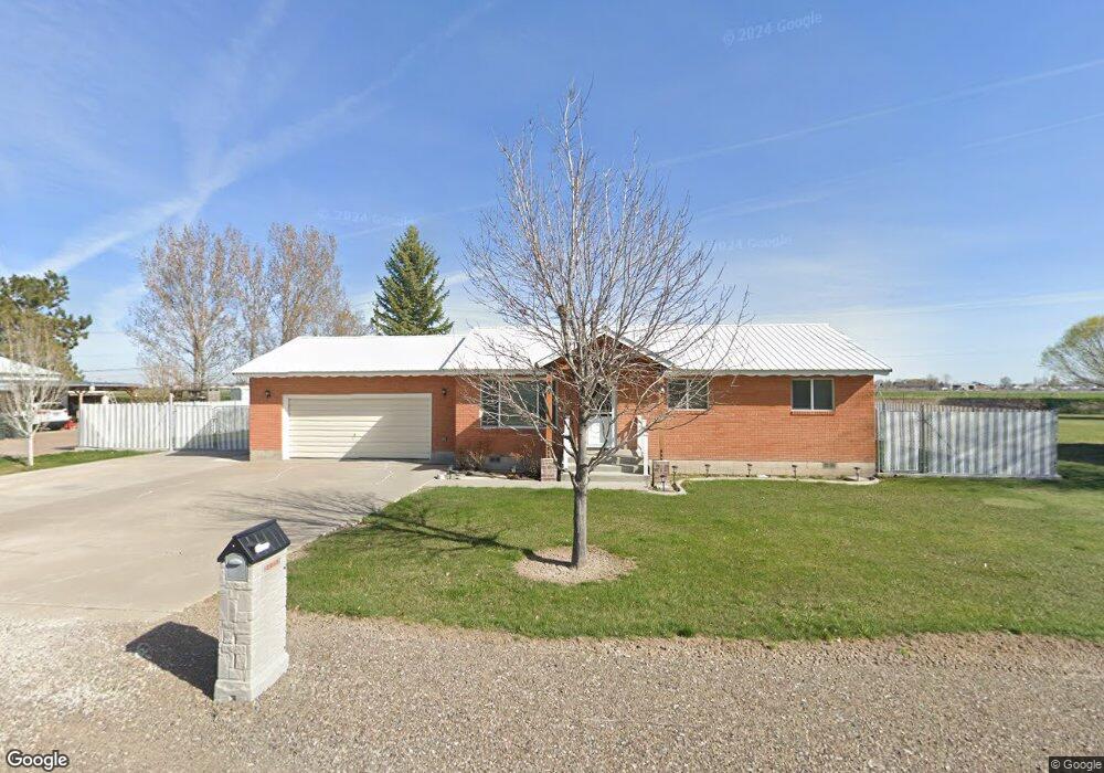
About This Home
This home is located at 2012 Brockie Ave, Heyburn, ID 83336 and is currently estimated at $291,799, approximately $258 per square foot. 2012 Brockie Ave is a home located in Minidoka County with nearby schools including Heyburn Elementary School and Minico Senior High School.
Ownership History
We collect this data history from publicly available records. To have your information removed, we recommend requesting removal directly through your county’s website.
Purchase Details
Purchase Details
Home Financials for this Owner
Home Financials are based on the most recent Mortgage that was taken out on this home.Home Values in the Area
Average Home Value in this Area
Purchase History
We collect this data history from publicly available records. To have your information removed, we recommend requesting removal directly through your county’s website.
| Date | Buyer | Sale Price | Title Company |
|---|---|---|---|
| -- | None Available | ||
| -- | -- |
Mortgage History
We collect this data history from publicly available records. To have your information removed, we recommend requesting removal directly through your county’s website.
| Date | Status | Borrower | Loan Amount |
|---|---|---|---|
| Open | $70,200 |
Tax History
We collect this data history from publicly available records. To have your information removed, we recommend requesting removal directly through your county’s website.
| Year | Tax Paid | Tax Assessment Tax Assessment Total Assessment is a certain percentage of the fair market value that is determined by local assessors to be the total taxable value of land and additions on the property. | Land | Improvement |
|---|---|---|---|---|
| 2025 | $1,526 | $295,687 | $63,087 | $232,600 |
| 2024 | $1,572 | $295,687 | $63,087 | $232,600 |
| 2023 | $1,216 | $282,247 | $63,087 | $219,160 |
| 2022 | $1,436 | $253,247 | $57,407 | $195,840 |
| 2021 | $1,313 | $194,003 | $44,073 | $149,930 |
| 2020 | $1,202 | $170,442 | $33,942 | $136,500 |
| 2019 | $1,179 | $157,602 | $0 | $0 |
| 2018 | $1,070 | $137,462 | $33,942 | $103,520 |
| 2017 | $1,058 | $140,463 | $23,513 | $116,950 |
| 2016 | $922 | $58,710 | $0 | $0 |
| 2015 | $465 | $0 | $0 | $0 |
| 2014 | $465 | $0 | $0 | $0 |
| 2012 | -- | $0 | $0 | $0 |
Map
- 2012 21st St
- 2050 Kings Row
- 2011 Palace Place
- 1732 and 1734 Dollys Way
- 1850 18th Circle Dr
- 350 S 500 W
- 1501 21st St
- 122 Tuscan Dr
- 622 Lochsa Loop
- 1931 Y St
- 2020 16th St
- TBD Way
- 150 S 600 West Rd
- 1801 Y St
- 1221 21st St
- 1410 S St
- 551 Biscotti Loop
- 1851 K St
- 33 and 34 River Run Estates
- 40 Lakeside Loop
- 2022 Brockie Ave
- 1972 Brockie Ave
- 2277 Mona Ave
- 2268 Mona Ave
- 2282 Tannie Ave
- 2048 Brockie Ave
- 2261 Mona Ave
- 1960 Brockie Ave
- 2281 Kyro Ave
- 2258 Tannie Ave
- 2258 Mona Ave
- 1950 Brockie Ave
- 2283 Kyro Ave
- 2234 Mona Ave
- 2072 Brockie Ave
- 2271 Kyro Ave
- 2233 Mona Ave
- 2261 Kyro Ave
- 1946 Brockie Ave
- 2232 Mona Ave
Ask me questions while you tour the home.