2012 Devonshire Rd Unit 1 Waukegan, IL 60087
Estimated Value: $210,000 - $267,000
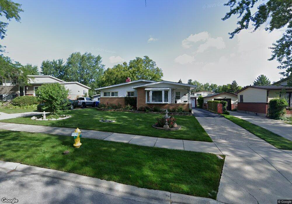
About This Home
This home is located at 2012 Devonshire Rd Unit 1, Waukegan, IL 60087 and is currently estimated at $244,663, approximately $226 per square foot. 2012 Devonshire Rd Unit 1 is a home located in Lake County with nearby schools including H R McCall Elementary School, Jack Benny Middle School, and Waukegan High School.
Ownership History
We collect this data history from publicly available records. To have your information removed, we recommend requesting removal directly through your county’s website.
Purchase Details
Home Financials for this Owner
Home Financials are based on the most recent Mortgage that was taken out on this home.Purchase History
We collect this data history from publicly available records. To have your information removed, we recommend requesting removal directly through your county’s website.
| Date | Buyer | Sale Price | Title Company |
|---|---|---|---|
| $123,000 | First American Title Ins |
Mortgage History
We collect this data history from publicly available records. To have your information removed, we recommend requesting removal directly through your county’s website.
| Date | Status | Borrower | Loan Amount |
|---|---|---|---|
| Closed | $73,000 |
Tax History
We collect this data history from publicly available records. To have your information removed, we recommend requesting removal directly through your county’s website.
| Year | Tax Paid | Tax Assessment Tax Assessment Total Assessment is a certain percentage of the fair market value that is determined by local assessors to be the total taxable value of land and additions on the property. | Land | Improvement |
|---|---|---|---|---|
| 2025 | $4,999 | $70,459 | $11,706 | $58,753 |
| 2024 | $4,834 | $65,604 | $10,899 | $54,705 |
| 2023 | $4,153 | $59,266 | $9,847 | $49,419 |
| 2022 | $4,153 | $48,484 | $8,444 | $40,040 |
| 2021 | $4,495 | $49,115 | $8,042 | $41,073 |
| 2020 | $4,507 | $45,756 | $7,492 | $38,264 |
| 2019 | $4,486 | $41,928 | $6,865 | $35,063 |
| 2018 | $3,854 | $36,165 | $8,832 | $27,333 |
| 2017 | $3,701 | $31,996 | $7,814 | $24,182 |
| 2016 | $3,372 | $27,803 | $6,790 | $21,013 |
| 2015 | $3,190 | $24,884 | $6,077 | $18,807 |
| 2014 | $3,100 | $23,865 | $6,135 | $17,730 |
| 2012 | $4,063 | $25,854 | $6,646 | $19,208 |
Map
- 3300 Rugby Ct
- 3332 N Lewis Ave Unit 1
- 1930 Arthur Dr
- 3537 N Lewis Ave
- 37854 N Harper Rd
- 4045 York House Rd
- 12087 W Blossom Ave
- 38312 Imperial Ln
- 38221 N New York Ave
- 1507 W York House Rd
- 3305 Delany Rd
- 13044 W Tyler Ave
- 12329 W Warner St
- 1730 W Beach Rd
- 2211 N Bonnie Brook Ln Unit W
- 2809 N Elmwood Ave
- 38187 N North Shore Ave
- 11538 W Oak Dr
- 3831 Pine Ave
- 11471 W Leland Ave
- 2016 Devonshire Rd Unit 1
- 2008 Devonshire Rd
- 2004 Devonshire Rd
- 2013 Edgewood Rd Unit 1
- 2020 Devonshire Rd
- 2017 Edgewood Rd
- 2009 Edgewood Rd
- 2005 Edgewood Rd Unit 1
- 2021 Edgewood Rd
- 2024 Devonshire Rd
- 2013 Devonshire Rd
- 2000 Devonshire Rd
- 2017 Devonshire Rd
- 2009 Devonshire Rd
- 2001 Edgewood Rd Unit 1
- 2025 Edgewood Rd
- 2021 Devonshire Rd
- 2005 Devonshire Rd
- 2028 Devonshire Rd
- 2025 Devonshire Rd
Ask me questions while you tour the home.