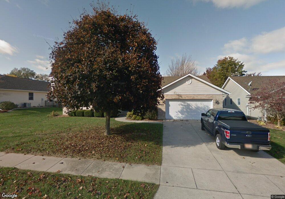
2013 Clarion Dr Springfield, IL 62711
Estimated Value: $253,000 - $340,000
Studio
--
Bath
--
Sq Ft
10,890
Sq Ft Lot
About This Home
This home is located at 2013 Clarion Dr, Springfield, IL 62711 and is currently estimated at $287,718. 2013 Clarion Dr is a home located in Sangamon County with nearby schools including Lindsay School, U.S. Grant Middle School, and Springfield High School.
Ownership History
Date
Name
Owned For
Owner Type
Purchase Details
Closed on
Jul 31, 2019
Sold by
Charles M Wilson Living Trust
Bought by
Rios Christi R
Current Estimated Value
Home Financials for this Owner
Home Financials are based on the most recent Mortgage that was taken out on this home.
Original Mortgage
$176,739
Outstanding Balance
$157,883
Interest Rate
5.13%
Mortgage Type
FHA
Estimated Equity
$129,835
Purchase Details
Closed on
Dec 23, 2011
Purchase Details
Closed on
Jan 23, 1998
Purchase Details
Closed on
Jul 29, 1994
Purchase Details
Closed on
Mar 1, 1994
Create a Home Valuation Report for This Property
The Home Valuation Report is an in-depth analysis detailing your home's value as well as a comparison with similar homes in the area
Purchase History
| Date | Buyer | Sale Price | Title Company |
|---|---|---|---|
| Rios Christi R | $180,000 | Zelle Law Offices Pc | |
| -- | -- | -- | |
| -- | $145,000 | -- | |
| -- | $145,000 | -- | |
| -- | $26,800 | -- |
Source: Public Records
Mortgage History
| Date | Status | Borrower | Loan Amount |
|---|---|---|---|
| Open | Rios Christi R | $176,739 |
Source: Public Records
Tax History
| Year | Tax Paid | Tax Assessment Tax Assessment Total Assessment is a certain percentage of the fair market value that is determined by local assessors to be the total taxable value of land and additions on the property. | Land | Improvement |
|---|---|---|---|---|
| 2024 | $5,832 | $76,473 | $14,886 | $61,587 |
| 2023 | $5,560 | $69,851 | $13,597 | $56,254 |
| 2022 | $5,319 | $66,260 | $12,898 | $53,362 |
| 2021 | $5,123 | $63,779 | $12,415 | $51,364 |
| 2020 | $5,022 | $63,875 | $12,434 | $51,441 |
| 2019 | $6,176 | $75,085 | $12,391 | $62,694 |
| 2018 | $5,557 | $66,746 | $12,331 | $54,415 |
| 2017 | $5,443 | $65,883 | $12,172 | $53,711 |
| 2016 | $5,336 | $64,922 | $11,994 | $52,928 |
| 2015 | $5,284 | $64,146 | $11,851 | $52,295 |
| 2014 | $5,224 | $63,731 | $11,774 | $51,957 |
| 2013 | $5,108 | $63,963 | $11,775 | $52,188 |
Source: Public Records
Map
Nearby Homes
- 4521 Barrington Dr
- 1606 Tern Place
- LOT 54 Chestnut Dr
- 1412 Winston Dr
- 3924 Surry Place Ln
- 3908 Waterstone Way
- 3924 Old Mill Ln
- 2104 Dubsdread Dr
- 2612 Dickens Dr
- 4568 Old Jacksonville Rd
- 5404 Jaeger Dr
- 3050 W Iles Ave
- 6013 Hedley Rd
- 5904 Hedley Rd
- 1717 Ambleside Dr
- 3513 Crystal Lake Dr
- 1719 Ambleside Dr
- 2806 Haggard Dr
- 3609 W Iles Ave
- 1703 Ambleside Dr
- 4541 Santa Clara Dr
- 2009 Clarion Dr
- 2016 Appleton Dr
- 2012 Appleton Dr
- 2016 Clarion Dr
- 2008 Appleton Dr
- 2012 Clarion Dr
- 2005 Clarion Dr
- 2008 Clarion Dr
- 4548 Barrington Dr
- 4544 Santa Clara Dr
- 4540 Santa Clara Dr
- 2004 Clarion Dr
- 2004 Appleton Dr
- 4533 Santa Clara Dr
- 4536 Santa Clara Dr
- 4548 Santa Clara Dr
- 2000 Appleton Dr
- 2000 Clarion Dr
- 4532 Santa Clara Dr
Your Personal Tour Guide
Ask me questions while you tour the home.