Estimated Value: $236,000 - $313,000
4
Beds
3
Baths
1,921
Sq Ft
$148/Sq Ft
Est. Value
About This Home
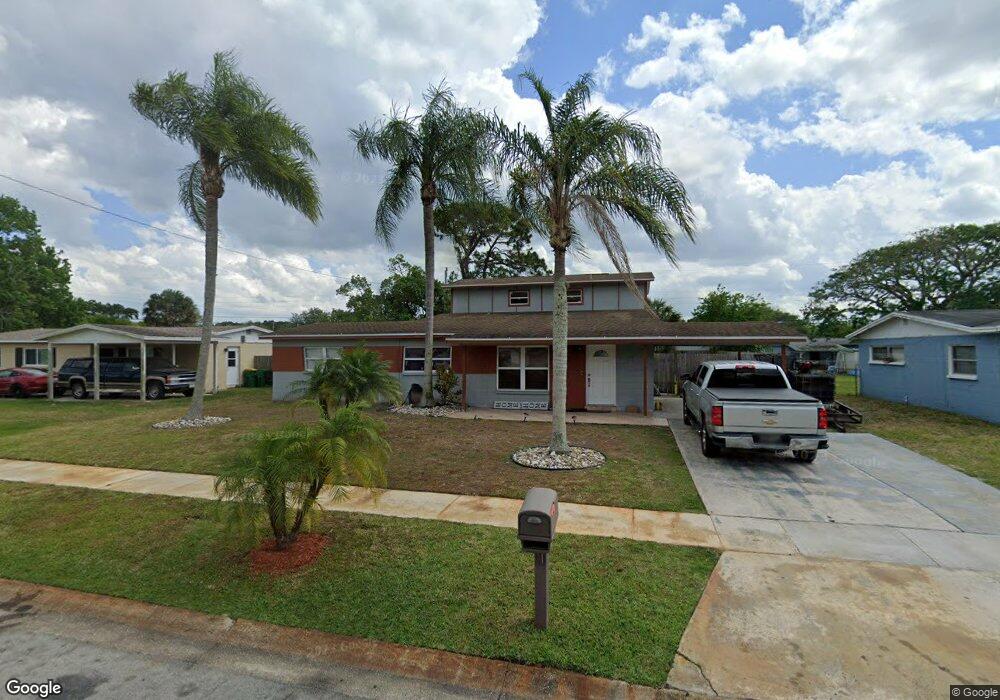
This home is located at 2013 Rollins Dr, Cocoa, FL 32922 and is currently estimated at $285,157, approximately $148 per square foot. 2013 Rollins Dr is a home located in Brevard County with nearby schools including Cambridge Elementary Magnet School, Cocoa High School, and Space Coast Christian Academy.
Ownership History
Date
Name
Owned For
Owner Type
Purchase Details
Closed on
Jul 3, 2018
Sold by
Thomas Michelle
Bought by
Thomas Yolanda and Thomas Antwan
Current Estimated Value
Purchase Details
Closed on
May 10, 2013
Sold by
Boggs Bill G and Boggs Terri J
Bought by
Thomas Michelle
Purchase Details
Closed on
Oct 13, 2010
Sold by
The Bank Of New York
Bought by
Boggs Bill G and Boggs Terri J
Purchase Details
Closed on
Jul 19, 2010
Sold by
Wright Amy R and Wright Jeffrey A
Bought by
The Bank Of New York
Purchase Details
Closed on
Mar 26, 1998
Sold by
Baker John and Baker Susan
Bought by
Henshilwood Amy R
Home Financials for this Owner
Home Financials are based on the most recent Mortgage that was taken out on this home.
Original Mortgage
$3,887
Interest Rate
6.95%
Create a Home Valuation Report for This Property
The Home Valuation Report is an in-depth analysis detailing your home's value as well as a comparison with similar homes in the area
Home Values in the Area
Average Home Value in this Area
Purchase History
We collect this data history from publicly available records. To have your information removed, we recommend requesting removal directly through your county’s website.
| Date | Buyer | Sale Price | Title Company |
|---|---|---|---|
| Thomas Yolanda | -- | None Available | |
| Thomas Michelle | $25,000 | Attorney | |
| Boggs Bill G | $17,900 | Attorney | |
| The Bank Of New York | -- | None Available | |
| Henshilwood Amy R | $66,000 | -- |
Source: Public Records
Mortgage History
We collect this data history from publicly available records. To have your information removed, we recommend requesting removal directly through your county’s website.
| Date | Status | Borrower | Loan Amount |
|---|---|---|---|
| Previous Owner | Henshilwood Amy R | $3,887 |
Source: Public Records
Tax History
| Year | Tax Paid | Tax Assessment Tax Assessment Total Assessment is a certain percentage of the fair market value that is determined by local assessors to be the total taxable value of land and additions on the property. | Land | Improvement |
|---|---|---|---|---|
| 2025 | $3,550 | $228,820 | -- | -- |
| 2024 | $3,326 | $225,320 | -- | -- |
| 2023 | $3,326 | $209,530 | -- | -- |
| 2022 | $2,843 | $187,310 | $0 | $0 |
| 2021 | $2,403 | $117,120 | $36,000 | $81,120 |
| 2020 | $2,167 | $102,610 | $36,000 | $66,610 |
| 2019 | $2,223 | $104,590 | $36,000 | $68,590 |
| 2018 | $1,789 | $95,460 | $25,000 | $70,460 |
| 2017 | $1,623 | $76,770 | $17,000 | $59,770 |
| 2016 | $1,512 | $66,980 | $9,000 | $57,980 |
| 2015 | $1,410 | $59,150 | $9,000 | $50,150 |
| 2014 | $1,324 | $56,800 | $10,000 | $46,800 |
Source: Public Records
Map
Nearby Homes
- 2016 Cooper Dr
- 1326 Stetson Ct
- 1354 S Stetson Dr
- 1750 Rosa St
- 1417 Walter St
- 1723 Dixon Blvd Unit 4
- Xxx Rosetine St
- 1727 Ruth Ave
- 0000 Null Unknown
- 0000 N Range Rd
- 1711 Dixon Blvd Unit 179
- 1711 Dixon Blvd Unit 198
- 0 University Ln
- 703 Venus Dr
- 1301 N Range Rd
- 2520 Fairfield Dr
- 717 Lunar Lake Cir
- Unknown Vacant Land Canveral Grove
- 1676 Ackley Rd
- 1644 Ruth St
- 2009 Rollins Dr
- 2017 Rollins Dr
- 2012 Cooper Dr
- 2008 Cooper Dr
- 2005 Rollins Dr
- 2021 Rollins Dr
- 2012 Rollins Dr
- 2008 Rollins Dr
- 2016 Rollins Dr
- 2004 Cooper Dr
- 2020 Cooper Dr
- 1413 E Stetson Dr
- 1413 E Stetson Dr
- 2020 Rollins Dr
- 2004 Rollins Dr
- 2025 Rollins Dr
- 1413 E Stetson Dr
- 2025 Cooper Dr
- 2024 Cooper Dr
- 1409 E Stetson Dr
Your Personal Tour Guide
Ask me questions while you tour the home.