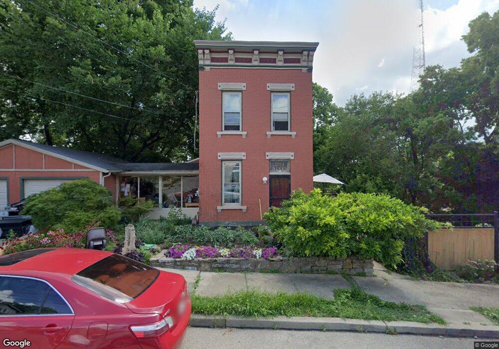
2014 Alvin St Cincinnati, OH 45219
Mount Auburn NeighborhoodEstimated Value: $219,620 - $361,000
About This Home
This home is located at 2014 Alvin St, Cincinnati, OH 45219 and is currently estimated at $267,405, approximately $149 per square foot. 2014 Alvin St is a home located in Hamilton County with nearby schools including William H. Taft Elementary School, Robert A. Taft Information Technology High School, and Gilbert A. Dater High School.
Ownership History
We collect this data history from publicly available records. To have your information removed, we recommend requesting removal directly through your county’s website.
Purchase Details
Purchase Details
Purchase Details
Home Values in the Area
Average Home Value in this Area
Purchase History
We collect this data history from publicly available records. To have your information removed, we recommend requesting removal directly through your county’s website.
| Date | Buyer | Sale Price | Title Company |
|---|---|---|---|
| $10,000 | Attorney | ||
| $44,000 | Attorney | ||
| $48,500 | -- |
Mortgage History
We collect this data history from publicly available records. To have your information removed, we recommend requesting removal directly through your county’s website.
| Date | Status | Borrower | Loan Amount |
|---|---|---|---|
| Closed | $30,000 | ||
| Previous Owner | $17,600 | ||
| Previous Owner | $86,400 | ||
| Previous Owner | $80,000 | ||
| Previous Owner | $23,000 |
Tax History
We collect this data history from publicly available records. To have your information removed, we recommend requesting removal directly through your county’s website.
| Year | Tax Paid | Tax Assessment Tax Assessment Total Assessment is a certain percentage of the fair market value that is determined by local assessors to be the total taxable value of land and additions on the property. | Land | Improvement |
|---|---|---|---|---|
| 2025 | $2,646 | $41,573 | $11,340 | $30,233 |
| 2024 | $2,642 | $41,573 | $11,340 | $30,233 |
| 2023 | $2,647 | $41,573 | $11,340 | $30,233 |
| 2022 | $1,529 | $21,512 | $6,465 | $15,047 |
| 2021 | $1,499 | $21,512 | $6,465 | $15,047 |
| 2020 | $1,503 | $21,512 | $6,465 | $15,047 |
| 2019 | $1,449 | $18,869 | $5,670 | $13,199 |
| 2018 | $1,450 | $18,869 | $5,670 | $13,199 |
| 2017 | $1,396 | $18,869 | $5,670 | $13,199 |
| 2016 | $435 | $5,643 | $4,988 | $655 |
| 2015 | $389 | $5,643 | $4,988 | $655 |
| 2014 | $391 | $5,643 | $4,988 | $655 |
| 2013 | $383 | $5,425 | $4,795 | $630 |
Map
- 2011 Highland Ave
- 322 Dorchester Ave
- 2035 Burnet Ave
- 2028 Burnet Ave
- 2028 Burnet Ave
- 224 Dorchester Ave
- 1948 Bigelow St
- 1944 Bigelow St
- 1940 Bigelow St
- 1946 Bigelow St
- 1942 Bigelow St
- 1938 Bigelow St
- 1931 Bigelow St
- 2231 Burnet Ave
- 546 Slack St
- 546 Slack St
- 2228 Maplewood Ave
- 540 Slack St
- 17 Estelle St
- 164 Dorchester Ave
- 2013 Highland Ave
- 2015 Highland Ave
- 2006 Alvin St Unit 1
- 2006 Alvin St
- 2009 Highland Ave
- 2019 Highland Ave
- 297 Bodmann Ave
- 299 Bodmann Ave
- 2001 Highland Ave
- 294 Bodmann Ave
- 2021 Highland Ave
- 2000 Alvin St
- 2023 Highland Ave
- 2030 Alvin St
- 293 Bodmann Ave
- 290 Dorchester Ave
- 2027 Highland Ave
- 2029 Alvin St
- 286 Bodmann Ave
- 288 Dorchester Ave
Ask me questions while you tour the home.