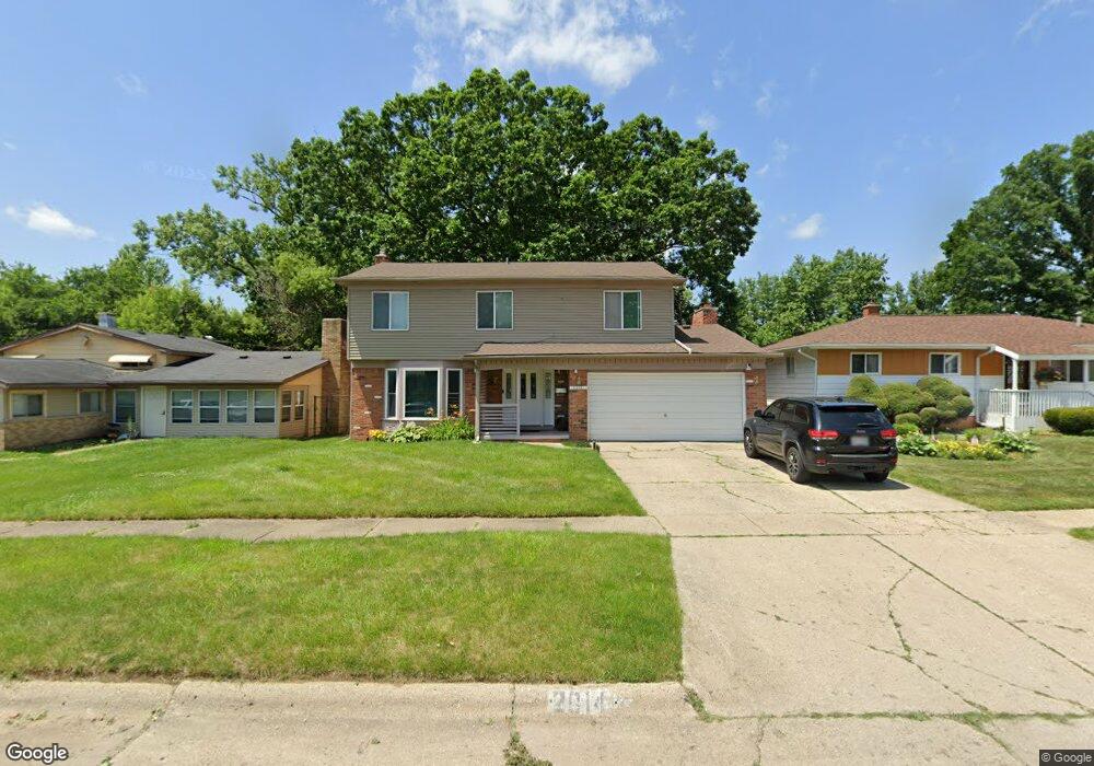
2014 Barks St Flint, MI 48503
South Parks NeighborhoodEstimated Value: $97,000 - $145,000
About This Home
This home is located at 2014 Barks St, Flint, MI 48503 and is currently estimated at $129,589, approximately $70 per square foot. 2014 Barks St is a home located in Genesee County with nearby schools including Freeman Elementary School, Flint Southwestern Classical Academy, and International Academy of Flint (K-12).
Ownership History
We collect this data history from publicly available records. To have your information removed, we recommend requesting removal directly through your county’s website.
Purchase Details
Home Financials for this Owner
Home Financials are based on the most recent Mortgage that was taken out on this home.Purchase Details
Purchase Details
Home Values in the Area
Average Home Value in this Area
Purchase History
We collect this data history from publicly available records. To have your information removed, we recommend requesting removal directly through your county’s website.
| Date | Buyer | Sale Price | Title Company |
|---|---|---|---|
| $42,500 | Devon Title Agency | ||
| -- | None Available | ||
| $82,474 | None Available |
Mortgage History
We collect this data history from publicly available records. To have your information removed, we recommend requesting removal directly through your county’s website.
| Date | Status | Borrower | Loan Amount |
|---|---|---|---|
| Previous Owner | $69,928 |
Tax History
We collect this data history from publicly available records. To have your information removed, we recommend requesting removal directly through your county’s website.
| Year | Tax Paid | Tax Assessment Tax Assessment Total Assessment is a certain percentage of the fair market value that is determined by local assessors to be the total taxable value of land and additions on the property. | Land | Improvement |
|---|---|---|---|---|
| 2025 | $1,191 | $54,800 | $0 | $0 |
| 2024 | $1,172 | $48,200 | $0 | $0 |
| 2023 | $1,145 | $40,700 | $0 | $0 |
| 2022 | $0 | $36,400 | $0 | $0 |
| 2021 | $1,197 | $30,400 | $0 | $0 |
| 2020 | $1,069 | $24,700 | $0 | $0 |
| 2019 | $1,034 | $22,600 | $0 | $0 |
| 2018 | $1,058 | $21,400 | $0 | $0 |
| 2017 | $1,026 | $0 | $0 | $0 |
| 2016 | $1,019 | $0 | $0 | $0 |
| 2015 | -- | $0 | $0 | $0 |
| 2014 | -- | $0 | $0 | $0 |
| 2012 | -- | $21,400 | $0 | $0 |
Map
- 1930 Chelan St
- 2007 Chelan St
- 1610 Kent St
- 1847 Barks St
- 2221 Howard Ave
- 2010 Crocker Ave
- 2632 Lippincott Blvd
- 2051 Dwight Ave
- 1810 Remell St
- 1771 Brookside Dr
- 2050 Ferris Ave
- 2610 Pewanaga Place
- 1834 Bagwell St
- 1213 Mohawk Ave
- 2910 Shawnee Ave
- 1305 Blanchard Ave
- 2833 S Dort Hwy
- 533 E 12th St Unit 535
- 2830 Lippincott Blvd
- 3373 Kent St
- 2010 Barks St
- 2018 Barks St
- 2022 Barks St
- 2013 Seymour Ave
- 2006 Barks St
- 2021 Seymour Ave
- 2013 Barks St
- 2009 Seymour Ave
- 2026 Barks St
- 2009 Barks St
- 2017 Barks St
- 2005 Barks St
- 2021 Barks St
- 2030 Barks St
- 2001 Barks St
- 2025 Barks St
- 2001 Seymour Ave
- 2014 Whittlesey St
- 2029 Seymour Ave
- 2010 Whittlesey St
Ask me questions while you tour the home.