2014 Cedar Hill Rd Lancaster, OH 43130
Estimated Value: $264,000 - $396,000
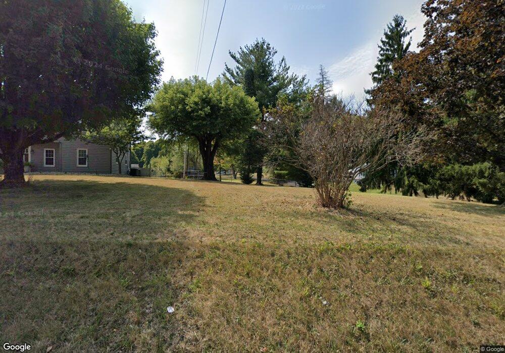
About This Home
This home is located at 2014 Cedar Hill Rd, Lancaster, OH 43130 and is currently estimated at $359,407, approximately $146 per square foot. 2014 Cedar Hill Rd is a home located in Fairfield County with nearby schools including General Sherman Junior High School, Lancaster High School, and St Mary Elementary School.
Ownership History
We collect this data history from publicly available records. To have your information removed, we recommend requesting removal directly through your county’s website.
Purchase Details
Home Financials for this Owner
Home Financials are based on the most recent Mortgage that was taken out on this home.Purchase Details
Home Financials for this Owner
Home Financials are based on the most recent Mortgage that was taken out on this home.Purchase Details
Home Financials for this Owner
Home Financials are based on the most recent Mortgage that was taken out on this home.Purchase Details
Home Values in the Area
Average Home Value in this Area
Purchase History
We collect this data history from publicly available records. To have your information removed, we recommend requesting removal directly through your county’s website.
| Date | Buyer | Sale Price | Title Company |
|---|---|---|---|
| $115,000 | Cbi Title Agency | ||
| -- | Attorney | ||
| $108,000 | -- | ||
| -- | -- |
Mortgage History
We collect this data history from publicly available records. To have your information removed, we recommend requesting removal directly through your county’s website.
| Date | Status | Borrower | Loan Amount |
|---|---|---|---|
| Previous Owner | $115,000 | ||
| Previous Owner | $106,084 |
Tax History
We collect this data history from publicly available records. To have your information removed, we recommend requesting removal directly through your county’s website.
| Year | Tax Paid | Tax Assessment Tax Assessment Total Assessment is a certain percentage of the fair market value that is determined by local assessors to be the total taxable value of land and additions on the property. | Land | Improvement |
|---|---|---|---|---|
| 2025 | $10,150 | $112,900 | $42,820 | $70,080 |
| 2024 | $8,909 | $99,100 | $28,950 | $70,150 |
| 2023 | $3,615 | $99,100 | $28,950 | $70,150 |
| 2022 | $3,631 | $99,100 | $28,950 | $70,150 |
| 2021 | $3,146 | $80,410 | $26,320 | $54,090 |
| 2020 | $3,015 | $80,410 | $26,320 | $54,090 |
| 2019 | $2,867 | $80,410 | $26,320 | $54,090 |
| 2018 | $2,085 | $54,390 | $21,070 | $33,320 |
| 2017 | $2,046 | $54,390 | $21,070 | $33,320 |
| 2016 | $1,993 | $54,390 | $21,070 | $33,320 |
| 2015 | $2,004 | $53,050 | $21,070 | $31,980 |
| 2014 | $1,909 | $53,050 | $21,070 | $31,980 |
| 2013 | $1,909 | $53,050 | $21,070 | $31,980 |
Map
- 1705 Carl Dr
- 1811 W Mulberry St
- 356 Ridgemere Way
- 435 Alison Ct
- 1511 Cedar Hill Rd
- 114-116 S Cedar Ave
- 1111 Linda Ln
- 307 Maud Ave
- 1414 Cedar Hill Rd
- 1619 Union St
- 790 Lambton Cir W
- 539 N Ohio Ave
- 793 Lambton Cir W
- 673 Brannon Dr
- 1125 W Main St
- 420 W Mulberry St
- 134 Sherman Ave
- 200 Sherman Ave
- 604 N Roosevelt Ave
- 404 Garfield Ave
- 2016 Cedar Hill Rd
- 1932 Cedar Hill Rd
- 207 Shallow Ridge Place
- 213 Shallow Ridge Place
- 217 Shallow Ridge Place
- 2020 Cedar Hill Rd
- 221 Shallow Ridge Place
- 229 Shallow Ridge Place
- 1919 W Chestnut St
- 1913 W Chestnut St
- 2120 Cedar Hill Rd
- 233 Shallow Ridge Place
- 1910 W Chestnut St
- 2116 Cedar Hill Rd
- 239 Shallow Ridge Place
- 1965 Cedar Hill Rd
- 1929 Cedar Hill Rd
- 1905 W Chestnut St
- 1902 W Chestnut St
- 243 Shallow Ridge Place
Ask me questions while you tour the home.